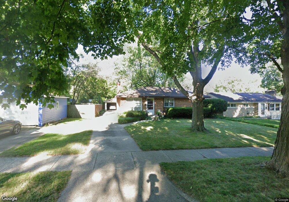
1427 Lewison Ave NE Grand Rapids, MI 49505
North East Citizens Action NeighborhoodEstimated Value: $291,000 - $322,000
3
Beds
2
Baths
1,700
Sq Ft
$181/Sq Ft
Est. Value
About This Home
This home is located at 1427 Lewison Ave NE, Grand Rapids, MI 49505 and is currently estimated at $308,403, approximately $181 per square foot. 1427 Lewison Ave NE is a home located in Kent County with nearby schools including Kent Hills School, Riverside Middle School, and Union High School.
Ownership History
Date
Name
Owned For
Owner Type
Purchase Details
Closed on
Jul 14, 2004
Sold by
Mieras Shane
Bought by
Pung Eric
Current Estimated Value
Home Financials for this Owner
Home Financials are based on the most recent Mortgage that was taken out on this home.
Original Mortgage
$114,000
Interest Rate
6.17%
Mortgage Type
Purchase Money Mortgage
Purchase Details
Closed on
Dec 17, 1998
Sold by
Hltvlwr Hltvlwr J J and Hltvlwr A
Bought by
Pung Mieras S and Pung Eric
Purchase Details
Closed on
Nov 6, 1997
Sold by
Dik Dik G G and Dik D
Bought by
Holtvluwer, Jay H & Anne M and Pung Eric
Purchase Details
Closed on
Oct 26, 1990
Sold by
Lemke Lemke R R and Lemke Dik G
Bought by
Pung Eric
Purchase Details
Closed on
Aug 6, 1985
Purchase Details
Closed on
Sep 20, 1983
Create a Home Valuation Report for This Property
The Home Valuation Report is an in-depth analysis detailing your home's value as well as a comparison with similar homes in the area
Home Values in the Area
Average Home Value in this Area
Purchase History
| Date | Buyer | Sale Price | Title Company |
|---|---|---|---|
| Pung Eric | $142,500 | -- | |
| Pung Mieras S | $103,000 | -- | |
| Holtvluwer, Jay H & Anne M | $92,000 | -- | |
| Pung Eric | $75,000 | -- | |
| -- | $55,000 | -- | |
| -- | $50,000 | -- |
Source: Public Records
Mortgage History
| Date | Status | Borrower | Loan Amount |
|---|---|---|---|
| Previous Owner | Pung Eric | $114,000 | |
| Closed | Pung Eric | $28,500 |
Source: Public Records
Tax History Compared to Growth
Tax History
| Year | Tax Paid | Tax Assessment Tax Assessment Total Assessment is a certain percentage of the fair market value that is determined by local assessors to be the total taxable value of land and additions on the property. | Land | Improvement |
|---|---|---|---|---|
| 2025 | $2,167 | $132,600 | $0 | $0 |
| 2024 | $2,167 | $123,100 | $0 | $0 |
| 2023 | $2,199 | $106,500 | $0 | $0 |
| 2022 | $2,087 | $91,800 | $0 | $0 |
| 2021 | $2,041 | $86,400 | $0 | $0 |
| 2020 | $1,951 | $82,200 | $0 | $0 |
| 2019 | $2,043 | $73,500 | $0 | $0 |
| 2018 | $1,973 | $69,700 | $0 | $0 |
| 2017 | $1,886 | $63,900 | $0 | $0 |
| 2016 | $1,909 | $56,800 | $0 | $0 |
| 2015 | $1,776 | $56,800 | $0 | $0 |
| 2013 | -- | $54,500 | $0 | $0 |
Source: Public Records
Map
Nearby Homes
- 1452 Carlton Ave NE
- 1455 Ball Ave NE
- 1444 Sweet St NE
- 1238 Carlton Ave NE
- 1250 Mayfield Ave NE
- 1524 Sweet St NE
- 1666 Carlton Ave NE
- 1339 Fuller Ave NE
- 1119 Spencer St NE
- 1332 Leonard St NE
- 1237 Dale Ct NE
- 1228 Spring Ave NE
- 1060 Leonard St NE
- 1256 Diamond Ave NE
- 1119 Kentwood Dr NE
- 1824 Herrick Ave NE
- 1150 Diamond Ave NE
- 1100 Coldbrook St NE
- 914 Leonard St NE
- 1535 Mason St NE
- 1431 Lewison Ave NE
- 1425 Spencer St NE
- 1411 Lewison Ave NE
- 1421 Spencer St NE
- 1437 Lewison Ave NE
- 1415 Spencer St NE
- 1426 Carlton Ave NE
- 1411 Spencer St NE
- 1436 Carlton Ave NE
- 1437 Spencer St NE
- 1426 Lewison Ave NE
- 1430 Lewison Ave NE
- 1405 Spencer St NE
- 1440 Carlton Ave NE
- 1447 Lewison Ave NE
- 1445 Spencer St NE
- 1440 Lewison Ave NE
- 1446 Carlton Ave NE
- 1453 Lewison Ave NE
- 1446 Lewison Ave NE