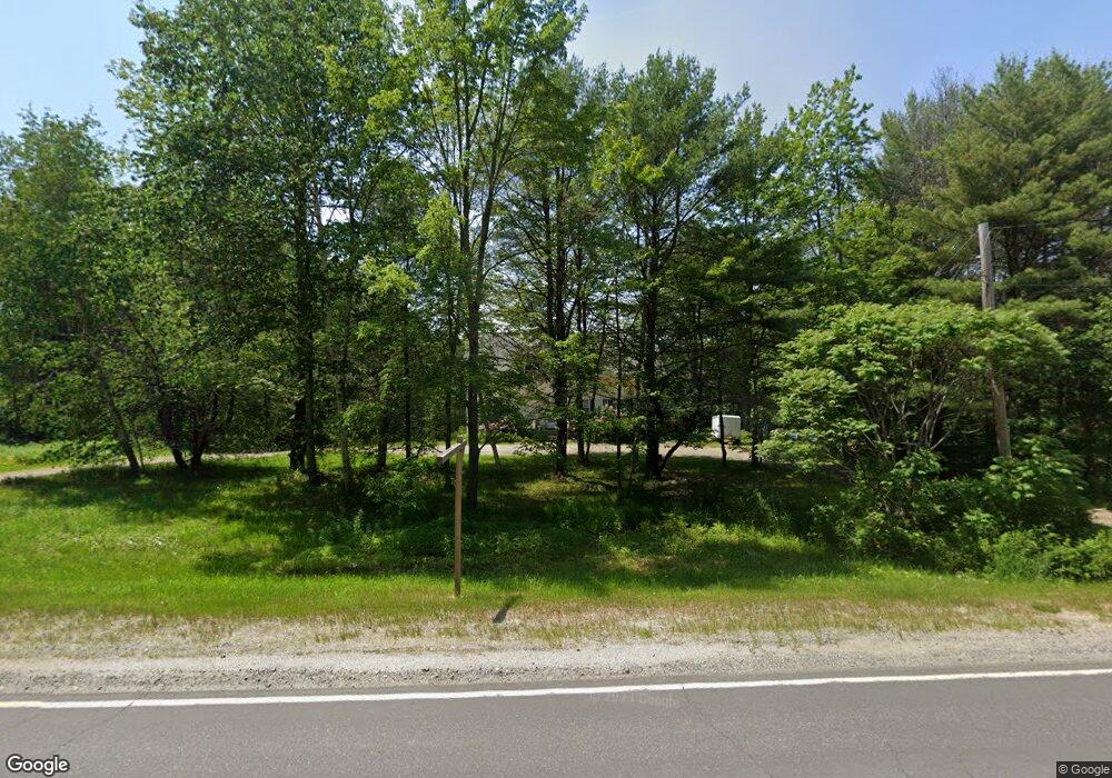
1427 Main Rd Phippsburg, ME 04562
Phippsburg NeighborhoodEstimated Value: $421,000 - $583,000
--
Bed
3
Baths
896
Sq Ft
$566/Sq Ft
Est. Value
About This Home
This home is located at 1427 Main Rd, Phippsburg, ME 04562 and is currently estimated at $506,924, approximately $565 per square foot. 1427 Main Rd is a home located in Sagadahoc County with nearby schools including Morse High School.
Ownership History
Date
Name
Owned For
Owner Type
Purchase Details
Closed on
Dec 9, 2016
Sold by
Doughty Clarissa W
Bought by
Doughty Brian W
Current Estimated Value
Home Financials for this Owner
Home Financials are based on the most recent Mortgage that was taken out on this home.
Original Mortgage
$185,185
Interest Rate
3.47%
Mortgage Type
FHA
Purchase Details
Closed on
Mar 4, 2016
Sold by
Doughty Clarissa W
Bought by
Doughty Clarissa W
Home Financials for this Owner
Home Financials are based on the most recent Mortgage that was taken out on this home.
Original Mortgage
$190,000
Interest Rate
3.81%
Mortgage Type
Unknown
Create a Home Valuation Report for This Property
The Home Valuation Report is an in-depth analysis detailing your home's value as well as a comparison with similar homes in the area
Home Values in the Area
Average Home Value in this Area
Purchase History
| Date | Buyer | Sale Price | Title Company |
|---|---|---|---|
| Doughty Brian W | -- | -- | |
| Doughty Brian W | -- | -- | |
| Doughty Clarissa W | -- | -- |
Source: Public Records
Mortgage History
| Date | Status | Borrower | Loan Amount |
|---|---|---|---|
| Closed | Doughty Brian W | $185,185 | |
| Closed | Doughty Clarissa W | $190,000 |
Source: Public Records
Tax History
| Year | Tax Paid | Tax Assessment Tax Assessment Total Assessment is a certain percentage of the fair market value that is determined by local assessors to be the total taxable value of land and additions on the property. | Land | Improvement |
|---|---|---|---|---|
| 2024 | $3,485 | $295,800 | $106,700 | $189,100 |
| 2023 | $3,384 | $295,800 | $106,700 | $189,100 |
| 2022 | $2,993 | $295,800 | $106,700 | $189,100 |
| 2021 | $2,692 | $295,800 | $106,700 | $189,100 |
| 2020 | $2,704 | $295,800 | $106,700 | $189,100 |
| 2019 | $2,704 | $295,800 | $106,700 | $189,100 |
| 2018 | $2,674 | $295,800 | $106,700 | $189,100 |
| 2017 | $2,644 | $295,800 | $106,700 | $189,100 |
| 2016 | $2,619 | $300,300 | $111,200 | $189,100 |
| 2015 | $2,571 | $300,300 | $111,200 | $189,100 |
| 2014 | $2,342 | $300,300 | $111,200 | $189,100 |
Source: Public Records
Map
Nearby Homes
- 0 Victory Ln
- 1682 &1676 Main Rd
- Lot 5 Sagamore Dr
- Lot 5 Sagamore Dr Unit 5
- Lot 3 Sagamore Dr Unit 3
- Lot 3 Sagamore Dr
- 15 Church Ln
- 001 Popham Rd
- 16 Spinney Point Ln
- 823 Popham Rd
- 17-1 Bald Head Rd
- 140 Clifford Rd
- 0 Main Rd
- lot C Long Point Rd
- 129 Five Islands Rd
- 242 Long Reach Ln
- 47 Snowman Ln
- 111 Rockweed Rd
- 61 N End Rd
- 1 Plum Ln Unit D
- 1387 Main Rd
- 1429 Main Rd
- 1451 Main Rd
- 1420 Main Rd
- 1393 Main Rd
- 1461 Main Rd
- 1463 Main Rd
- 40 Riff Raff Rd
- 1471 Main Rd
- 0 Lot Unit 2 1153141
- 66 Pasture Rd
- 1479 Main Rd
- 20 Riff Raff Rd
- 25 Riff Raff Rd
- 1483 Main Rd
- 33 Ledgewood Ln
- 26 Ledgewood Ln
- Lots 1 & 2 Bodwell Grange Rd
- 0 Sam Day Hill
- 0A Sam Day Hill Rd
Your Personal Tour Guide
Ask me questions while you tour the home.