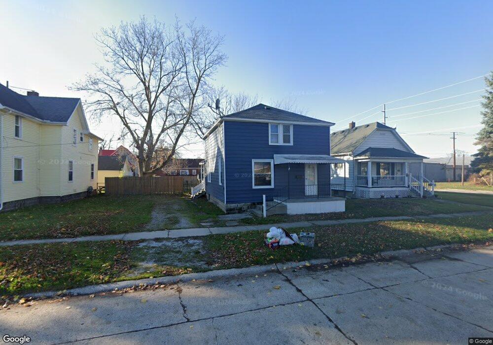
1427 Poplar St Port Huron, MI 48060
Estimated Value: $143,250 - $179,000
4
Beds
2
Baths
1,642
Sq Ft
$99/Sq Ft
Est. Value
About This Home
This home is located at 1427 Poplar St, Port Huron, MI 48060 and is currently estimated at $163,313, approximately $99 per square foot. 1427 Poplar St is a home located in St. Clair County with nearby schools including H.D. Crull Elementary School, Holland Woods Middle School, and Port Huron Northern High School.
Ownership History
Date
Name
Owned For
Owner Type
Purchase Details
Closed on
Dec 3, 2009
Sold by
Clark Michael R
Bought by
The Clark Family Revocable Living Trust
Current Estimated Value
Purchase Details
Closed on
Jun 15, 2009
Sold by
Jpmorgan Chase Bank National Association
Bought by
Federal National Mortgage Association
Purchase Details
Closed on
Jun 11, 2009
Sold by
Larue Marc J and Larue Peggy S
Bought by
Jpmorgan Chase Bank National Association and Washington Mutual Bank
Create a Home Valuation Report for This Property
The Home Valuation Report is an in-depth analysis detailing your home's value as well as a comparison with similar homes in the area
Home Values in the Area
Average Home Value in this Area
Purchase History
| Date | Buyer | Sale Price | Title Company |
|---|---|---|---|
| The Clark Family Revocable Living Trust | -- | None Available | |
| Federal National Mortgage Association | -- | None Available | |
| Jpmorgan Chase Bank National Association | $57,125 | None Available |
Source: Public Records
Tax History Compared to Growth
Tax History
| Year | Tax Paid | Tax Assessment Tax Assessment Total Assessment is a certain percentage of the fair market value that is determined by local assessors to be the total taxable value of land and additions on the property. | Land | Improvement |
|---|---|---|---|---|
| 2025 | $1,856 | $60,600 | $0 | $0 |
| 2024 | $1,602 | $56,200 | $0 | $0 |
| 2023 | $1,518 | $50,200 | $0 | $0 |
| 2022 | $1,495 | $43,000 | $0 | $0 |
| 2021 | $1,428 | $39,700 | $0 | $0 |
| 2020 | $1,433 | $36,700 | $36,700 | $0 |
| 2019 | $1,408 | $25,300 | $0 | $0 |
| 2018 | $1,376 | $25,300 | $0 | $0 |
| 2017 | $1,264 | $23,700 | $0 | $0 |
| 2016 | $1,119 | $23,700 | $0 | $0 |
| 2015 | $1,099 | $21,400 | $21,400 | $0 |
| 2014 | $1,099 | $20,400 | $20,400 | $0 |
| 2013 | -- | $20,400 | $0 | $0 |
Source: Public Records
Map
Nearby Homes
- 1433 Poplar St
- 1417 Kearney St
- 1620 McBrady St
- 1649 Whipple St
- 1733 Whipple St
- 917 Saint Clair St
- 1002 Erie St
- 1907 Riverside Dr
- 711 Stanton St
- 1819 Riverside Dr
- 1321 Nelson St
- 2400 Stone St Unit 2414
- 805 Pine Grove Ave
- 0000 Campau Ave
- 2419 Cherry St
- 1203 Varney St
- 443 11th St
- 29 Taylor St
- 1116 Hancock St
- 1109 Wells St
- 1421 Poplar St
- 1426 10th Ave
- 1432 Poplar St
- 1426 Poplar St
- 1303 Washington Ave
- 1430 10th Ave
- 1301 Sedgwick St
- 1418 10th Ave
- 1422 Poplar St
- 1214 Sedgwick St
- 1509 Poplar St
- 1502 Poplar St
- 1416 10th Ave
- 1510 Poplar St
- 1204 Sedgwick St
- 1504 10th Ave
- 1319 Washington Ave
- 1429 Elk St
- 1208 Sedgwick St
- 1327 Washington Ave