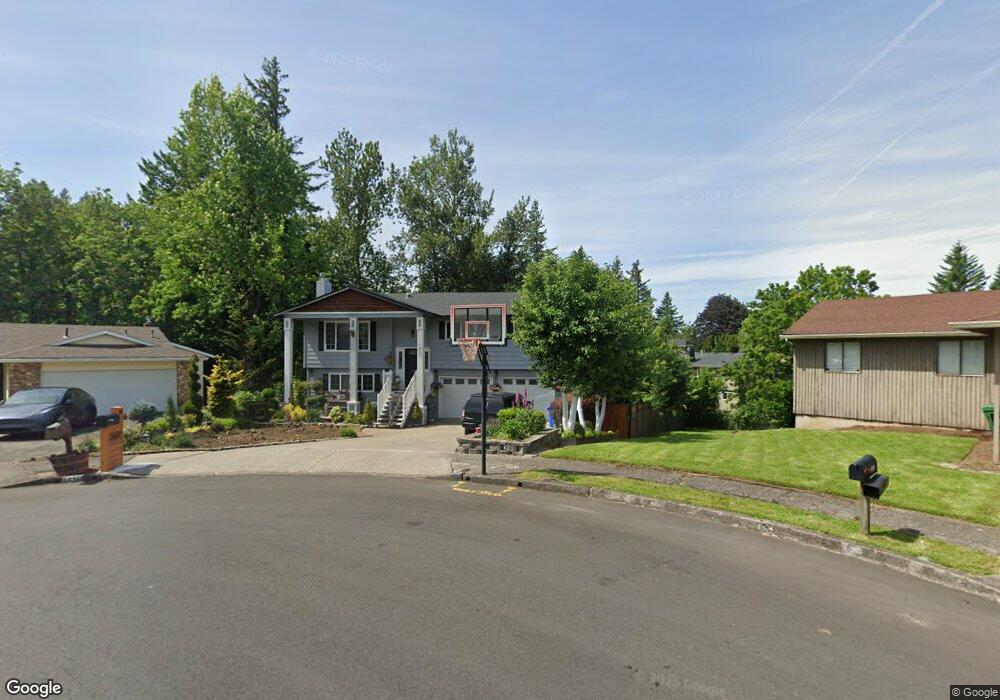
1427 SW Willowbrook Ct Gresham, OR 97080
Gresham Butte NeighborhoodEstimated Value: $473,000 - $511,451
3
Beds
3
Baths
1,850
Sq Ft
$266/Sq Ft
Est. Value
About This Home
This home is located at 1427 SW Willowbrook Ct, Gresham, OR 97080 and is currently estimated at $491,363, approximately $265 per square foot. 1427 SW Willowbrook Ct is a home located in Multnomah County with nearby schools including Hollydale Elementary School, Dexter McCarty Middle School, and Gresham High School.
Ownership History
Date
Name
Owned For
Owner Type
Purchase Details
Closed on
Jun 25, 2008
Sold by
Ward Ronald G
Bought by
Norrish Colt and Norrish Miyuki
Current Estimated Value
Home Financials for this Owner
Home Financials are based on the most recent Mortgage that was taken out on this home.
Original Mortgage
$273,251
Outstanding Balance
$174,042
Interest Rate
5.99%
Mortgage Type
VA
Estimated Equity
$317,321
Purchase Details
Closed on
Jul 26, 2005
Sold by
Ward Ronald G
Bought by
Ward Ronald G and Ward Cecelia
Home Financials for this Owner
Home Financials are based on the most recent Mortgage that was taken out on this home.
Original Mortgage
$117,000
Interest Rate
5.56%
Mortgage Type
Stand Alone Refi Refinance Of Original Loan
Create a Home Valuation Report for This Property
The Home Valuation Report is an in-depth analysis detailing your home's value as well as a comparison with similar homes in the area
Home Values in the Area
Average Home Value in this Area
Purchase History
| Date | Buyer | Sale Price | Title Company |
|---|---|---|---|
| Norrish Colt | $267,500 | First American Title Insuran | |
| Ward Ronald G | -- | Ticor Title Insurance Compan |
Source: Public Records
Mortgage History
| Date | Status | Borrower | Loan Amount |
|---|---|---|---|
| Open | Norrish Colt | $273,251 | |
| Previous Owner | Ward Ronald G | $117,000 |
Source: Public Records
Tax History
| Year | Tax Paid | Tax Assessment Tax Assessment Total Assessment is a certain percentage of the fair market value that is determined by local assessors to be the total taxable value of land and additions on the property. | Land | Improvement |
|---|---|---|---|---|
| 2025 | $5,737 | $281,920 | -- | -- |
| 2024 | $5,492 | $273,710 | -- | -- |
| 2023 | $5,003 | $265,740 | $0 | $0 |
| 2022 | $4,863 | $258,000 | $0 | $0 |
| 2021 | $4,741 | $250,490 | $0 | $0 |
| 2020 | $4,461 | $243,200 | $0 | $0 |
| 2019 | $4,344 | $236,120 | $0 | $0 |
| 2018 | $4,142 | $229,250 | $0 | $0 |
| 2017 | $3,974 | $222,580 | $0 | $0 |
| 2016 | $3,504 | $216,100 | $0 | $0 |
Source: Public Records
Map
Nearby Homes
- 1960 SW 13th Ct
- 1421 SW Binford Lake Pkwy
- 317 SW Angeline Ave
- 404 SW Riverview Ave
- 1441 SW 23rd Ct
- 1963 SW Myers Place
- 1434 SW 5th Place
- 2294 SW Wallula Ln
- 512 SW Eastman Pkwy Unit 13
- 1333 SW 5th Place
- 2520 SW Towle Ave
- 3198 SW 16th Cir
- 419 SW Day Ct
- 2160 SW 26th St
- 1645 SW 27th St
- 3079 SW 22nd St
- 1278 SW 27th Ct
- 21 NW Mawrcrest Ave
- 63 NW Mawrcrest Ave
- 159 SW Florence Ave Unit 64
- 1431 SW Willowbrook Ct
- 1415 SW Willowbrook Ct
- 1987 SW 13th Ct
- 1928 SW 13th Ct
- 1420 SW Willowbrook Ct
- 2105 SW 14th Dr
- 1456 SW Willowbrook Ct
- 1460 SW Willowbrook Ct
- 1436 SW Willowbrook Ct
- 1991 SW 13th Ct
- 1846 SW 13th Ct
- 1424 SW Heiney Rd
- 1479 SW Willowbrook Ct
- 1933 SW 13th Ct
- 1965 SW 13th Ct
- 1935 SW 15th Ct
- 1442 SW Willowbrook Ct
- 1887 SW 13th Ct
- 1959 SW 15th Ct
Your Personal Tour Guide
Ask me questions while you tour the home.