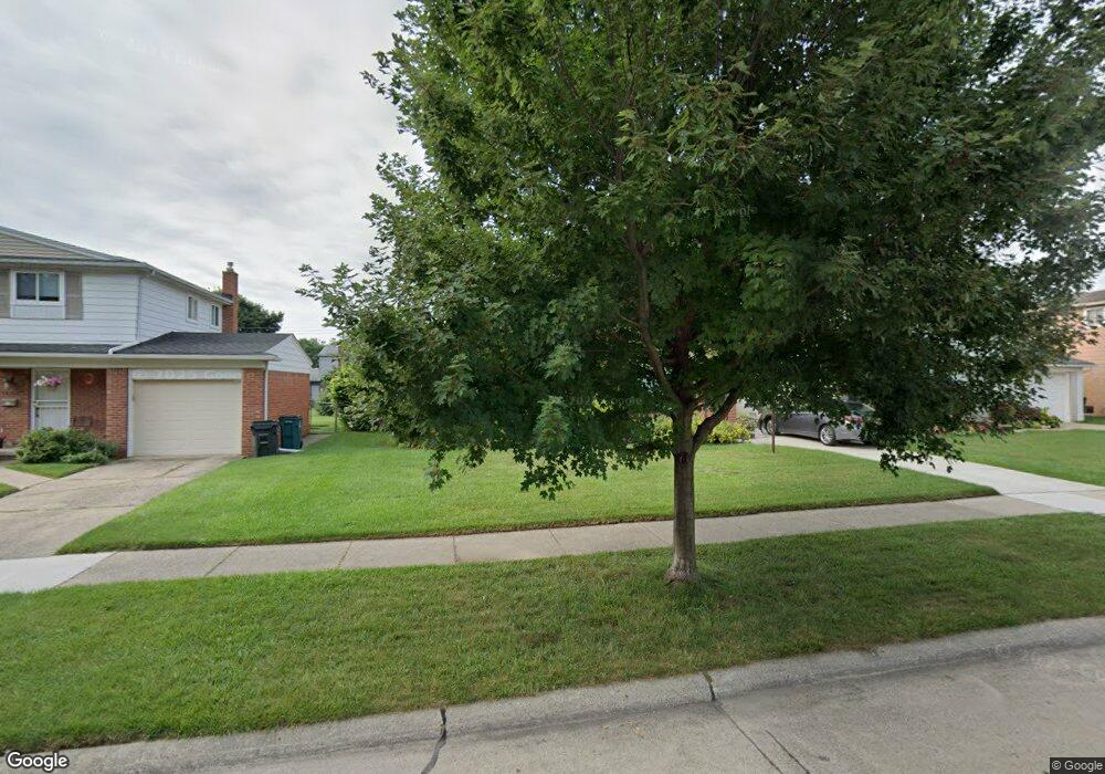
14271 Borgman St Oak Park, MI 48237
Estimated Value: $233,000 - $300,000
3
Beds
2
Baths
1,329
Sq Ft
$200/Sq Ft
Est. Value
About This Home
This home is located at 14271 Borgman St, Oak Park, MI 48237 and is currently estimated at $265,304, approximately $199 per square foot. 14271 Borgman St is a home located in Oakland County with nearby schools including Norup International School, Berkley High School, and Lubavitch Cheder Girls - Wilmos & Lillian Schwarcz Education Center.
Ownership History
Date
Name
Owned For
Owner Type
Purchase Details
Closed on
Nov 21, 2006
Sold by
Wells Fargo Bank Minnesota Na
Bought by
Gerbs Bradley
Current Estimated Value
Home Financials for this Owner
Home Financials are based on the most recent Mortgage that was taken out on this home.
Original Mortgage
$119,000
Outstanding Balance
$86,468
Interest Rate
10.75%
Mortgage Type
Purchase Money Mortgage
Estimated Equity
$178,836
Purchase Details
Closed on
Jan 3, 2006
Sold by
Malkin David S and Malkin Lynn B
Bought by
Wells Fargo Bank Minnesota Na
Create a Home Valuation Report for This Property
The Home Valuation Report is an in-depth analysis detailing your home's value as well as a comparison with similar homes in the area
Home Values in the Area
Average Home Value in this Area
Purchase History
| Date | Buyer | Sale Price | Title Company |
|---|---|---|---|
| Gerbs Bradley | $119,000 | First American Title | |
| Wells Fargo Bank Minnesota Na | $155,066 | None Available |
Source: Public Records
Mortgage History
| Date | Status | Borrower | Loan Amount |
|---|---|---|---|
| Open | Gerbs Bradley | $119,000 |
Source: Public Records
Tax History Compared to Growth
Tax History
| Year | Tax Paid | Tax Assessment Tax Assessment Total Assessment is a certain percentage of the fair market value that is determined by local assessors to be the total taxable value of land and additions on the property. | Land | Improvement |
|---|---|---|---|---|
| 2024 | $2,609 | $116,700 | $18,900 | $97,800 |
| 2023 | $2,324 | $107,500 | $16,700 | $90,800 |
| 2022 | $2,311 | $106,700 | $15,500 | $91,200 |
| 2021 | $2,302 | $92,400 | $9,100 | $83,300 |
| 2020 | $2,230 | $74,500 | $9,100 | $65,400 |
| 2018 | $2,308 | $57,100 | $0 | $0 |
| 2015 | -- | $41,900 | $0 | $0 |
| 2014 | -- | $37,900 | $0 | $0 |
| 2011 | -- | $40,600 | $0 | $0 |
Source: Public Records
Map
Nearby Homes
- 14231 Borgman St
- 14421 Labelle St
- 14480 Borgman St
- 13720 Nadine St
- 14251 Elgin St
- 13646 Hart St
- 14670 Talbot St
- 13651 Elgin St
- 2679 Columbia Rd
- 26040 Marlowe Place
- 14420 Vernon St
- 13323 Hart Ave
- 2085 Gardner Ave
- 26015 Allor Ave
- 1799 Phillips Ave
- 14072 Ludlow St
- 2210 Cambridge Rd
- 13353 Sherwood Dr
- 13700 Winchester St
- 1845 Thomas Ave
- 14261 Borgman St
- 0 Griffith Ave
- 14281 Borgman St
- 14251 Borgman St
- 14291 Borgman St
- 14270 Talbot St
- 14241 Borgman St
- 14250 Talbot St
- 14280 Talbot St
- 14260 Talbot St
- 14301 Borgman St
- 14240 Talbot St
- 14290 Talbot St
- 14270 Borgman St
- 14260 Borgman St
- 14280 Borgman St
- 14240 Borgman St
- 14250 Borgman St
- 0 Gardner Ave Unit R215010882
- 0 Gardner Ave Unit R216068981