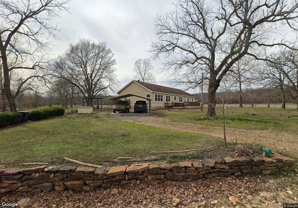
14273 N 480 Rd Tahlequah, OK 74464
Estimated Value: $311,445 - $479,000
3
Beds
2
Baths
3,216
Sq Ft
$123/Sq Ft
Est. Value
About This Home
This home is located at 14273 N 480 Rd, Tahlequah, OK 74464 and is currently estimated at $395,111, approximately $122 per square foot. 14273 N 480 Rd is a home.
Ownership History
Date
Name
Owned For
Owner Type
Purchase Details
Closed on
Mar 9, 2012
Sold by
Gritts Gerald L
Bought by
Larson Timothy A
Current Estimated Value
Purchase Details
Closed on
Aug 4, 2004
Sold by
Ronald and Katy Ellis
Bought by
Gerald L Gritts
Purchase Details
Closed on
May 10, 2002
Sold by
Evelyn Eberhard
Bought by
Lyman and Dana Eberhard
Purchase Details
Closed on
Feb 6, 1995
Sold by
Scott and Donna Green
Bought by
Lyman and Evelyn Eberhard
Create a Home Valuation Report for This Property
The Home Valuation Report is an in-depth analysis detailing your home's value as well as a comparison with similar homes in the area
Home Values in the Area
Average Home Value in this Area
Purchase History
| Date | Buyer | Sale Price | Title Company |
|---|---|---|---|
| Larson Timothy A | $21,000 | None Available | |
| Gerald L Gritts | $21,000 | -- | |
| Lyman | -- | -- | |
| Ronald | $14,500 | -- | |
| Lyman | $9,300 | -- |
Source: Public Records
Tax History Compared to Growth
Tax History
| Year | Tax Paid | Tax Assessment Tax Assessment Total Assessment is a certain percentage of the fair market value that is determined by local assessors to be the total taxable value of land and additions on the property. | Land | Improvement |
|---|---|---|---|---|
| 2025 | $1,566 | $23,002 | $462 | $22,540 |
| 2024 | $1,566 | $21,906 | $440 | $21,466 |
| 2023 | $1,566 | $20,863 | $506 | $20,357 |
| 2022 | $1,491 | $20,863 | $506 | $20,357 |
| 2021 | $1,491 | $20,863 | $506 | $20,357 |
| 2020 | $1,491 | $20,864 | $506 | $20,358 |
| 2019 | $1,523 | $21,300 | $506 | $20,794 |
| 2018 | $1,523 | $21,300 | $506 | $20,794 |
| 2017 | $1,515 | $21,201 | $439 | $20,762 |
| 2016 | $1,443 | $20,192 | $159 | $20,033 |
| 2015 | $1,309 | $18,831 | $440 | $18,391 |
| 2014 | $1,309 | $18,831 | $440 | $18,391 |
Source: Public Records
Map
Nearby Homes
- 15318 W Jones Rd
- 0 W Burchett Rd Unit 2518831
- 0 W Jones Rd
- 16759 W Burchett Rd
- 16509 N Bryant Rd
- 17099 E Clover Cir
- 17540 W Tray
- 17564 W Grandview Dr
- 17022 W Grandview Rd
- 212 W Calista Dr
- 11388 Hwy 82
- 20 W Grandview Rd
- 1950 N Everly Dr
- 17283 N Bryant Rd
- 17648 W Grandview Rd
- 1921 N Amelia Ct
- 13552 State Highway 82
- 1998 W Allen Rd
- 2100 N Vinita Ave
- 149 W Oak Hill Cir
- 14296 N 480 Rd
- 14204 N 480 Rd
- 14294 N 480 Rd
- 14107 N 480 Rd
- 14987 W 720 Rd
- 14294 N 477 Rd
- 14782 W 720 Rd
- 14301 N 477 Rd
- 13975 N 480 Rd
- 14954 W 720 Rd
- 14100 N 477 Rd
- 15074 W Jones Rd
- 14643 W 728 Rd
- 14173 N 477 Rd
- 13931 N 480 Rd
- 14775 W 720 Rd
- 14633 W 728 Rd
- 13911 N 480 Rd
- 15224 W Jones Rd
- 14024 N 477 Rd