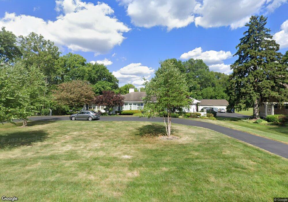
1428 Anderson Ferry Rd Cincinnati, OH 45238
Estimated Value: $434,000 - $512,950
3
Beds
3
Baths
3,021
Sq Ft
$158/Sq Ft
Est. Value
About This Home
This home is located at 1428 Anderson Ferry Rd, Cincinnati, OH 45238 and is currently estimated at $478,488, approximately $158 per square foot. 1428 Anderson Ferry Rd is a home located in Hamilton County with nearby schools including Covedale School, Gilbert A. Dater High School, and Western Hills High School.
Ownership History
Date
Name
Owned For
Owner Type
Purchase Details
Closed on
Jul 14, 2006
Sold by
Mynhier Nancy A
Bought by
Nolan Gilbert P and Nolan Sharon A
Current Estimated Value
Home Financials for this Owner
Home Financials are based on the most recent Mortgage that was taken out on this home.
Original Mortgage
$193,600
Outstanding Balance
$112,999
Interest Rate
6.73%
Mortgage Type
Unknown
Estimated Equity
$365,489
Purchase Details
Closed on
Aug 12, 2003
Sold by
Mohler Angel and Mohler David
Bought by
Mynhier Nancy A
Home Financials for this Owner
Home Financials are based on the most recent Mortgage that was taken out on this home.
Original Mortgage
$140,000
Interest Rate
5.47%
Mortgage Type
Unknown
Create a Home Valuation Report for This Property
The Home Valuation Report is an in-depth analysis detailing your home's value as well as a comparison with similar homes in the area
Home Values in the Area
Average Home Value in this Area
Purchase History
| Date | Buyer | Sale Price | Title Company |
|---|---|---|---|
| Nolan Gilbert P | $242,000 | Prodigy Title Agency | |
| Mynhier Nancy A | $240,000 | -- |
Source: Public Records
Mortgage History
| Date | Status | Borrower | Loan Amount |
|---|---|---|---|
| Open | Nolan Gilbert P | $193,600 | |
| Previous Owner | Mynhier Nancy A | $140,000 |
Source: Public Records
Tax History
| Year | Tax Paid | Tax Assessment Tax Assessment Total Assessment is a certain percentage of the fair market value that is determined by local assessors to be the total taxable value of land and additions on the property. | Land | Improvement |
|---|---|---|---|---|
| 2025 | $8,937 | $158,165 | $27,181 | $130,984 |
| 2023 | $8,921 | $158,165 | $27,181 | $130,984 |
| 2022 | $6,134 | $94,339 | $21,791 | $72,548 |
| 2021 | $5,555 | $94,339 | $21,791 | $72,548 |
| 2020 | $5,649 | $94,339 | $21,791 | $72,548 |
| 2019 | $5,533 | $84,232 | $19,457 | $64,775 |
| 2018 | $5,544 | $84,232 | $19,457 | $64,775 |
| 2017 | $5,287 | $84,232 | $19,457 | $64,775 |
| 2016 | $5,640 | $87,872 | $20,017 | $67,855 |
| 2015 | $5,086 | $87,872 | $20,017 | $67,855 |
| 2014 | $5,122 | $87,872 | $20,017 | $67,855 |
| 2013 | $5,019 | $88,761 | $20,220 | $68,541 |
Source: Public Records
Map
Nearby Homes
- 1650 Colonial Dr
- 5183 Cleves Warsaw Pike
- 5301 Leon Ct
- 5311 Rawhide Ct
- 5433 Cleves Warsaw Pike
- 5140 Willnet Dr
- 5132 Ralph Ave
- 5114 Cleves Warsaw Pike
- 5152 Highview Dr
- 949 Anderson Ferry Rd
- 951 Villa View Ct
- 979 Bandanna Dr
- 1092 Morado Dr
- 5020 Sidney Rd
- 4915 Heuwerth Ave
- 5524 Sidney Rd
- 5461 Bellfield Ln
- 5528 Cove Ct
- 2195 Woodmere Ct
- 4965 Glenway Ave
- 1390 Anderson Ferry Rd
- 1458 Anderson Ferry Rd
- 1405 Anderson Ferry Rd
- 1376 Anderson Ferry Rd
- 1405 Colonial Dr
- 1409 Anderson Ferry Rd
- A Anderson Ferry Rd
- 1441 Colonial Dr
- 1491 Colonial Dr
- 1488 Anderson Ferry Rd
- 1371 Colonial Dr
- 5290 Cleves Warsaw Pike
- 1523 Anderson Ferry Rd Unit 3
- 1445 Colonial Dr
- 1525 Anderson Ferry Rd
- 1518 Anderson Ferry Rd
- 1333 Colonial Dr
- 5336 Cleves Warsaw Pike
- 1519 Colonial Dr
- 5316 Cleves Warsaw Pike
Your Personal Tour Guide
Ask me questions while you tour the home.