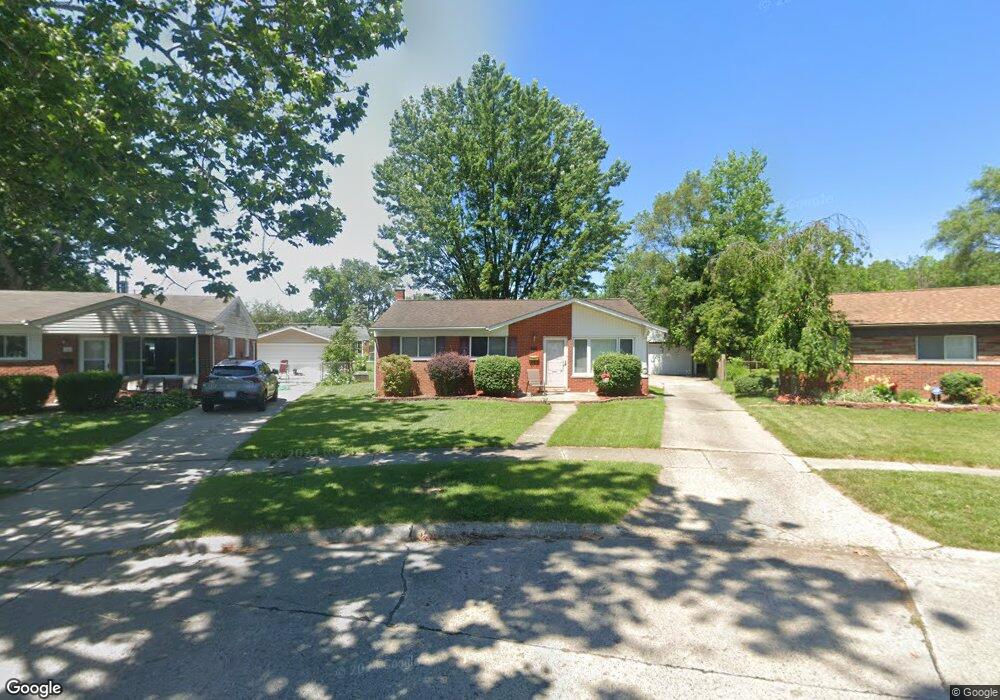
1428 Ashby St Westland, MI 48186
Estimated Value: $208,000 - $234,000
--
Bed
1
Bath
1,008
Sq Ft
$219/Sq Ft
Est. Value
About This Home
This home is located at 1428 Ashby St, Westland, MI 48186 and is currently estimated at $220,720, approximately $218 per square foot. 1428 Ashby St is a home located in Wayne County with nearby schools including Alexander Hamilton Elementary School, Adams Middle School, and Benjamin Franklin Middle School.
Ownership History
Date
Name
Owned For
Owner Type
Purchase Details
Closed on
May 9, 2018
Sold by
Cooper Eric C and Cooper Elizsabeth A
Bought by
Cooper Elisabeth A
Current Estimated Value
Home Financials for this Owner
Home Financials are based on the most recent Mortgage that was taken out on this home.
Original Mortgage
$96,000
Outstanding Balance
$82,659
Interest Rate
4.4%
Mortgage Type
New Conventional
Estimated Equity
$138,061
Purchase Details
Closed on
Aug 8, 2000
Sold by
Davis Audrey R
Bought by
Elisabeth A Cooper
Create a Home Valuation Report for This Property
The Home Valuation Report is an in-depth analysis detailing your home's value as well as a comparison with similar homes in the area
Home Values in the Area
Average Home Value in this Area
Purchase History
| Date | Buyer | Sale Price | Title Company |
|---|---|---|---|
| Cooper Elisabeth A | -- | Devon Title Co | |
| Elisabeth A Cooper | $126,000 | -- |
Source: Public Records
Mortgage History
| Date | Status | Borrower | Loan Amount |
|---|---|---|---|
| Open | Cooper Elisabeth A | $96,000 |
Source: Public Records
Tax History Compared to Growth
Tax History
| Year | Tax Paid | Tax Assessment Tax Assessment Total Assessment is a certain percentage of the fair market value that is determined by local assessors to be the total taxable value of land and additions on the property. | Land | Improvement |
|---|---|---|---|---|
| 2025 | $1,933 | $94,200 | $0 | $0 |
| 2024 | $1,933 | $89,400 | $0 | $0 |
| 2023 | $1,846 | $78,600 | $0 | $0 |
| 2022 | $2,166 | $69,200 | $0 | $0 |
| 2021 | $2,112 | $66,100 | $0 | $0 |
| 2020 | $2,089 | $60,400 | $0 | $0 |
| 2019 | $2,013 | $58,700 | $0 | $0 |
| 2018 | $1,519 | $50,900 | $0 | $0 |
| 2017 | $748 | $47,500 | $0 | $0 |
| 2016 | $1,954 | $47,300 | $0 | $0 |
| 2015 | $3,759 | $42,490 | $0 | $0 |
| 2013 | $3,642 | $37,220 | $0 | $0 |
| 2012 | $1,695 | $36,640 | $0 | $0 |
Source: Public Records
Map
Nearby Homes
- 0000 Barrington Ave
- 1163 Denice St
- 32732 Glen St
- 754 Alvin St
- 2075 Alanson St
- 34114 Avondale St
- 32508 Avondale St
- 2017 Eastport St
- 2119 Emerson St
- 711 S Hawthorne St
- 1631 Ackley Ave
- 2204 Ellsworth St
- 32411 Grandview Ave
- 32332 Kalamazoo Ct
- 34553 Hazelwood St
- 33436 Bendon Ct
- 1681 Stieber St
- 33012 Akron St
- 33434 Bendon Ct
- 2012 Dryden St
- 1440 Ashby St
- 33260 Creston St
- 1445 Zorn St
- 1452 Ashby St
- 33250 Creston St
- 1433 Zorn St
- 1457 Zorn St
- 33240 Creston St
- 33241 Creston St
- 1354 Alvin St
- 33322 Melton St
- 33312 Melton St
- 33230 Creston St
- 33432 Melton St
- 33263 Parkwood St
- 33229 Creston St
- 33244 Melton St
- 33220 Creston St
- 1442 Zorn Ct
- 33452 Melton St