1428 Jackson St Baltimore, MD 21230
Riverside NeighborhoodEstimated Value: $295,775 - $510,000
--
Bed
1
Bath
1,312
Sq Ft
$307/Sq Ft
Est. Value
About This Home
This home is located at 1428 Jackson St, Baltimore, MD 21230 and is currently estimated at $402,888, approximately $307 per square foot. 1428 Jackson St is a home located in Baltimore City with nearby schools including Thomas Johnson Elementary School, Booker T. Washington Middle School, and Paul Laurence Dunbar High School.
Ownership History
Date
Name
Owned For
Owner Type
Purchase Details
Closed on
Jun 14, 2002
Sold by
King Kevin H
Bought by
Mackler Kirsten
Current Estimated Value
Purchase Details
Closed on
Apr 7, 1999
Sold by
Rocklage Kimberly A
Bought by
King Kevin H and King Cristie R
Purchase Details
Closed on
Jul 24, 1996
Sold by
Ward Mark H
Bought by
Rocklage Kimberly A and Beegie Daniel A
Create a Home Valuation Report for This Property
The Home Valuation Report is an in-depth analysis detailing your home's value as well as a comparison with similar homes in the area
Home Values in the Area
Average Home Value in this Area
Purchase History
| Date | Buyer | Sale Price | Title Company |
|---|---|---|---|
| Mackler Kirsten | $184,000 | -- | |
| King Kevin H | $14,700 | -- | |
| Rocklage Kimberly A | $85,700 | -- |
Source: Public Records
Tax History Compared to Growth
Tax History
| Year | Tax Paid | Tax Assessment Tax Assessment Total Assessment is a certain percentage of the fair market value that is determined by local assessors to be the total taxable value of land and additions on the property. | Land | Improvement |
|---|---|---|---|---|
| 2025 | $4,051 | $228,100 | $80,000 | $148,100 |
| 2024 | $4,051 | $228,100 | $80,000 | $148,100 |
| 2023 | $3,878 | $228,100 | $80,000 | $148,100 |
| 2022 | $3,725 | $225,600 | $0 | $0 |
| 2021 | $5,265 | $223,100 | $0 | $0 |
| 2020 | $3,439 | $220,600 | $80,000 | $140,600 |
| 2019 | $3,283 | $219,933 | $0 | $0 |
| 2018 | $3,213 | $219,267 | $0 | $0 |
| 2017 | $3,134 | $218,600 | $0 | $0 |
| 2016 | $2,740 | $214,600 | $0 | $0 |
| 2015 | $2,740 | $210,600 | $0 | $0 |
| 2014 | $2,740 | $206,600 | $0 | $0 |
Source: Public Records
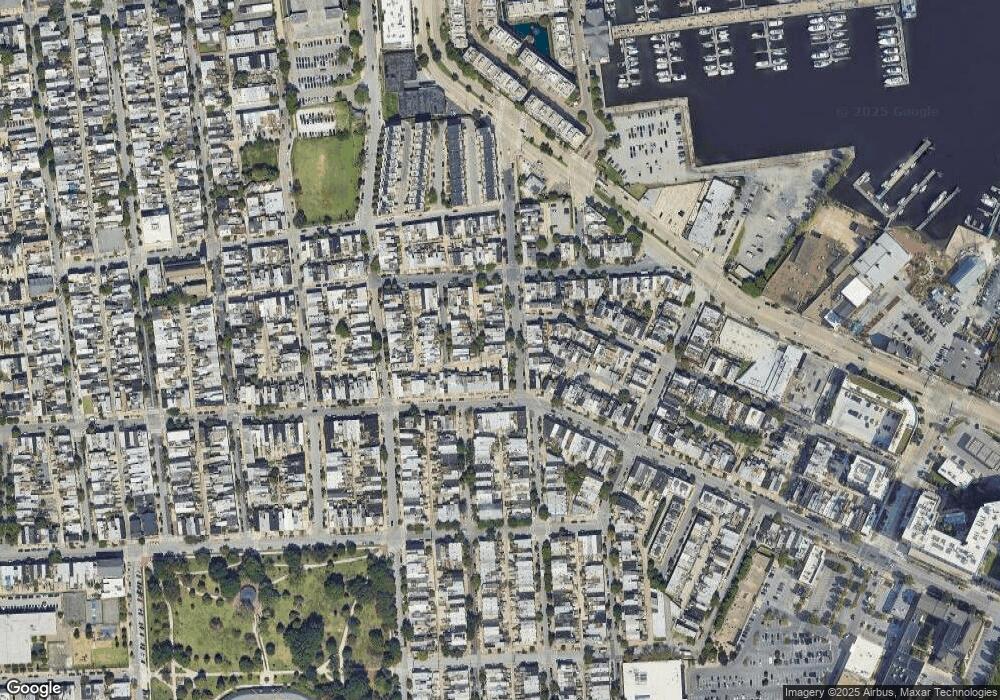
Map
Nearby Homes
- 1417 Covington St
- 507 E Gittings St
- 447 E Gittings St
- 545 E Gittings St
- 410 E Fort Ave
- 416 E Clement St
- 1509 Riverside Ave
- 1625 Belt St
- 421 Folsom St
- 1254 Harbor Island Walk
- 1239 Harbor Island Walk
- 1516 Boyle St
- 1447 William St
- 200 E Fort Ave
- 1293 William St
- 1243 Battery Ave
- 23 Pierside Dr Unit 112
- 23 Pierside Dr Unit 410
- 23 Pierside Dr Unit 324
- 23 Pierside Dr Unit 438