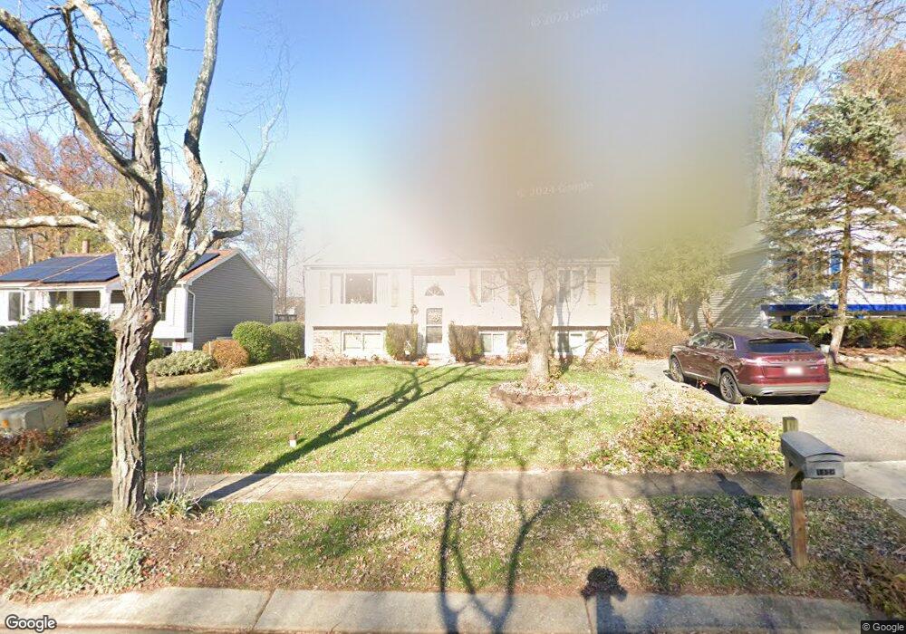
1428 Wisp Ct Hanover, MD 21076
Estimated Value: $341,135 - $453,000
Studio
1
Bath
1,068
Sq Ft
$384/Sq Ft
Est. Value
About This Home
This home is located at 1428 Wisp Ct, Hanover, MD 21076 and is currently estimated at $409,784, approximately $383 per square foot. 1428 Wisp Ct is a home located in Anne Arundel County with nearby schools including Hebron-Harman Elementary School, MacArthur Middle School, and Meade High School.
Ownership History
Date
Name
Owned For
Owner Type
Purchase Details
Closed on
Jun 18, 2024
Sold by
Whitby Ronald Lloyd
Bought by
Whitby Ronald Lloyd and Smith Christine M
Current Estimated Value
Purchase Details
Closed on
Aug 4, 1987
Sold by
Harmans
Bought by
Whitby Ronald L and Whitby Joy E
Home Financials for this Owner
Home Financials are based on the most recent Mortgage that was taken out on this home.
Original Mortgage
$105,696
Interest Rate
10.27%
Create a Home Valuation Report for This Property
The Home Valuation Report is an in-depth analysis detailing your home's value as well as a comparison with similar homes in the area
Home Values in the Area
Average Home Value in this Area
Purchase History
| Date | Buyer | Sale Price | Title Company |
|---|---|---|---|
| Whitby Ronald Lloyd | -- | None Listed On Document | |
| Whitby Ronald L | $107,400 | -- |
Source: Public Records
Mortgage History
| Date | Status | Borrower | Loan Amount |
|---|---|---|---|
| Previous Owner | Whitby Ronald L | $105,696 |
Source: Public Records
Tax History
| Year | Tax Paid | Tax Assessment Tax Assessment Total Assessment is a certain percentage of the fair market value that is determined by local assessors to be the total taxable value of land and additions on the property. | Land | Improvement |
|---|---|---|---|---|
| 2025 | $3,029 | $368,600 | $194,500 | $174,100 |
| 2024 | $3,029 | $349,733 | $0 | $0 |
| 2023 | $2,931 | $330,867 | $0 | $0 |
| 2022 | $2,727 | $312,000 | $174,500 | $137,500 |
| 2020 | $2,594 | $297,133 | $0 | $0 |
| 2019 | $2,551 | $289,700 | $143,500 | $146,200 |
| 2018 | $2,867 | $282,767 | $0 | $0 |
| 2017 | $2,407 | $275,833 | $0 | $0 |
| 2016 | -- | $268,900 | $0 | $0 |
| 2015 | -- | $268,300 | $0 | $0 |
| 2014 | -- | $267,700 | $0 | $0 |
Source: Public Records
Map
Nearby Homes
- 1422 Fairbanks Dr
- 7870 Golden Pine Cir
- 1480 Gesna Dr
- 1217 Scattered Pines Ct
- 917 Reece Rd
- 914 Redmore Dr
- 1407 Cowsill Dr
- 7951 Heather Mist Dr
- 7993 Heather Mist Dr Unit 90
- 7974 Heather Mist Dr Unit 85
- 7954 Heather Mist Dr
- 7555 Harmans Rd
- 1814 Watch House Cir N
- 1805 Chatfield Terrace
- 7716 Dignity Way
- 7860 Telegraph Rd
- 1402 Valley Creek Rd
- 7966 Foster Ave
- 1029 Ironwood Ln
- 1799 Cruet Ln
- 1426 Wisp Ct
- 1430 Wisp Ct
- 1424 Wisp Ct
- 1432 Wisp Ct
- 1429 Wisp Ct
- 1427 Wisp Ct
- 1422 Wisp Ct
- 1434 Wisp Ct
- 1435 Fairbanks Dr
- 1437 Fairbanks Dr
- 1433 Fairbanks Dr
- 1423 Wisp Ct
- 7675 Tuckerman Dr
- 1439 Fairbanks Dr
- 1431 Fairbanks Dr
- 1436 Wisp Ct
- 1441 Fairbanks Dr
- 7673 Tuckerman Dr
- 1429 Fairbanks Dr
- 1438 Wisp Ct
Your Personal Tour Guide
Ask me questions while you tour the home.