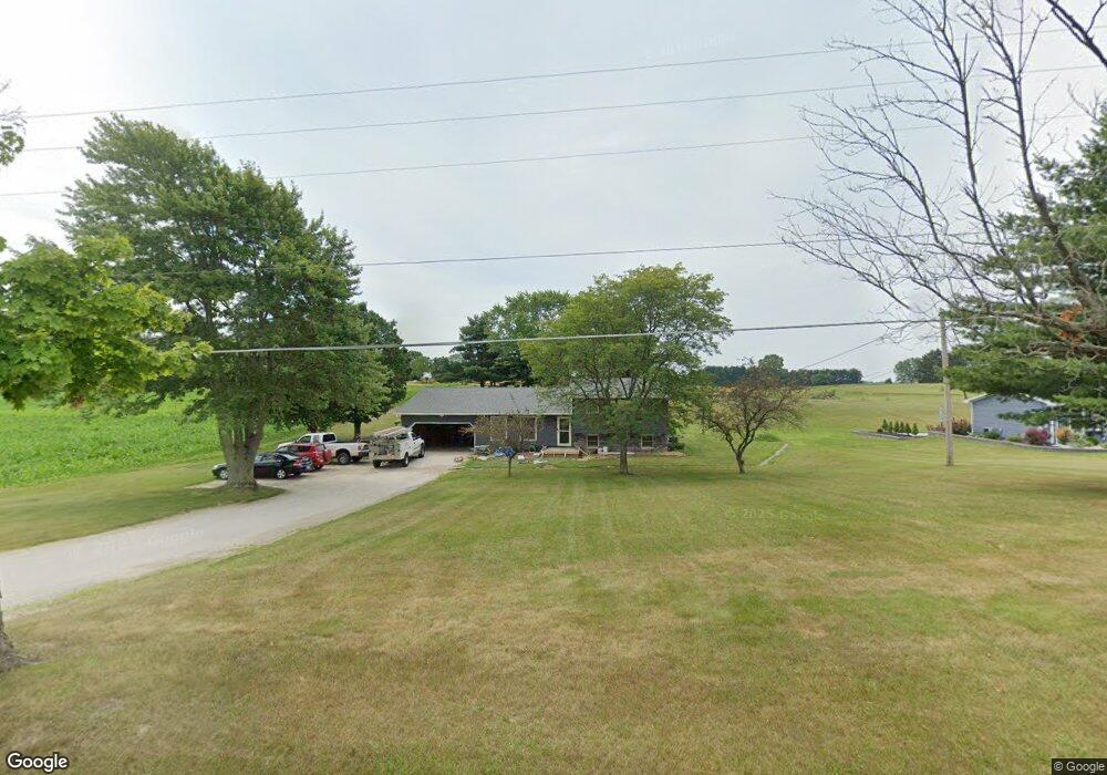
14280 Cenfield St NE Alliance, OH 44601
Estimated Value: $295,475 - $337,000
4
Beds
3
Baths
2,186
Sq Ft
$144/Sq Ft
Est. Value
About This Home
This home is located at 14280 Cenfield St NE, Alliance, OH 44601 and is currently estimated at $315,119, approximately $144 per square foot. 14280 Cenfield St NE is a home located in Stark County with nearby schools including Marlington High School.
Ownership History
Date
Name
Owned For
Owner Type
Purchase Details
Closed on
Jul 21, 1995
Sold by
Mills Douglas E
Bought by
Graffice Robert C and Zavarelli Jennifer L
Current Estimated Value
Home Financials for this Owner
Home Financials are based on the most recent Mortgage that was taken out on this home.
Original Mortgage
$83,700
Interest Rate
7.5%
Mortgage Type
New Conventional
Create a Home Valuation Report for This Property
The Home Valuation Report is an in-depth analysis detailing your home's value as well as a comparison with similar homes in the area
Home Values in the Area
Average Home Value in this Area
Purchase History
| Date | Buyer | Sale Price | Title Company |
|---|---|---|---|
| Graffice Robert C | $98,500 | -- |
Source: Public Records
Mortgage History
| Date | Status | Borrower | Loan Amount |
|---|---|---|---|
| Closed | Graffice Robert C | $83,700 |
Source: Public Records
Tax History Compared to Growth
Tax History
| Year | Tax Paid | Tax Assessment Tax Assessment Total Assessment is a certain percentage of the fair market value that is determined by local assessors to be the total taxable value of land and additions on the property. | Land | Improvement |
|---|---|---|---|---|
| 2025 | -- | $90,240 | $22,930 | $67,310 |
| 2024 | -- | $90,240 | $22,930 | $67,310 |
| 2023 | $2,519 | $80,820 | $15,790 | $65,030 |
| 2022 | $2,528 | $80,820 | $15,790 | $65,030 |
| 2021 | $2,536 | $80,820 | $15,790 | $65,030 |
| 2020 | $2,469 | $70,430 | $13,620 | $56,810 |
| 2019 | $2,447 | $70,430 | $13,620 | $56,810 |
| 2018 | $2,451 | $70,430 | $13,620 | $56,810 |
| 2017 | $2,364 | $63,050 | $13,380 | $49,670 |
| 2016 | $2,318 | $63,050 | $13,380 | $49,670 |
| 2015 | $2,322 | $63,050 | $13,380 | $49,670 |
| 2014 | $361 | $58,560 | $12,430 | $46,130 |
| 2013 | $1,181 | $58,560 | $12,430 | $46,130 |
Source: Public Records
Map
Nearby Homes
- 5869 Beechwood Ave
- 13881 Salem Church St NE
- 6434 Union Ave NE
- 6378 Union Ave NE
- 5200 Union Ave NE
- 13529 Louisville St NE
- 13479 Louisville St NE
- 16159 Salem Church St NE
- 12222 Cenfield St NE
- 540 E Bayton St
- 1325 W Beech St
- 256 Laramie St
- 3709 S Union Ave
- 6109 Oakhill Ave NE
- 277 W Carol St
- 0 Winchester St
- 0 Winchester St Unit 5162877
- 1100 E Bayton St
- 22120 Center Rd
- 0 Easton St NE
- 14240 Cenfield St NE
- 14259 Cenfield St NE
- 14200 Cenfield St NE
- 14155 Cenfield St NE
- 14168 Cenfield St NE
- 14223 Cenfield St NE
- 14287 Cenfield St NE
- 14341 Cenfield St NE
- 0 Cenfield St NE Unit 3977967
- 0 Cenfield St NE Unit 4018566
- 0 Cenfield St NE Unit 4018562
- 0 Cenfield St NE Unit 4018557
- 0 Cenfield St NE Unit 3977976
- 0 Cenfield St NE Unit 3977962
- 14105 Cenfield St NE
- 6050 Beechwood Ave
- 6050 Beechwood Ave
- 14325 Cenfield St NE
- 5991 Beechwood Ave
- 14068 Cenfield St NE