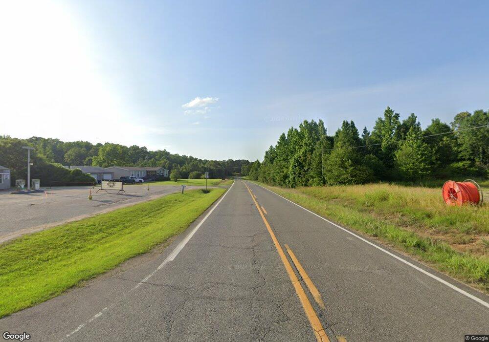
14283 Highway 69 N Northport, AL 35475
Estimated Value: $199,000 - $303,000
3
Beds
1
Bath
1,632
Sq Ft
$157/Sq Ft
Est. Value
About This Home
This home is located at 14283 Highway 69 N, Northport, AL 35475 and is currently estimated at $256,990, approximately $157 per square foot. 14283 Highway 69 N is a home located in Tuscaloosa County with nearby schools including Huntington Place Elementary School, Echols Middle School, and Tuscaloosa County High School.
Ownership History
Date
Name
Owned For
Owner Type
Purchase Details
Closed on
Sep 27, 2017
Sold by
Elmore Susan E
Bought by
Lambert Pamela G
Current Estimated Value
Home Financials for this Owner
Home Financials are based on the most recent Mortgage that was taken out on this home.
Original Mortgage
$96,000
Outstanding Balance
$80,187
Interest Rate
3.82%
Mortgage Type
New Conventional
Estimated Equity
$176,803
Create a Home Valuation Report for This Property
The Home Valuation Report is an in-depth analysis detailing your home's value as well as a comparison with similar homes in the area
Home Values in the Area
Average Home Value in this Area
Purchase History
| Date | Buyer | Sale Price | Title Company |
|---|---|---|---|
| Lambert Pamela G | $120,000 | -- |
Source: Public Records
Mortgage History
| Date | Status | Borrower | Loan Amount |
|---|---|---|---|
| Open | Lambert Pamela G | $96,000 |
Source: Public Records
Tax History Compared to Growth
Tax History
| Year | Tax Paid | Tax Assessment Tax Assessment Total Assessment is a certain percentage of the fair market value that is determined by local assessors to be the total taxable value of land and additions on the property. | Land | Improvement |
|---|---|---|---|---|
| 2024 | $240 | $50,900 | $3,000 | $47,900 |
| 2023 | $240 | $46,920 | $3,000 | $43,920 |
| 2022 | $188 | $40,520 | $3,000 | $37,520 |
| 2021 | $163 | $35,640 | $3,000 | $32,640 |
| 2020 | $133 | $14,840 | $1,500 | $13,340 |
| 2019 | $137 | $15,180 | $1,500 | $13,680 |
| 2018 | $137 | $15,180 | $1,500 | $13,680 |
| 2017 | $438 | $0 | $0 | $0 |
| 2016 | $403 | $0 | $0 | $0 |
| 2015 | $418 | $0 | $0 | $0 |
| 2014 | -- | $12,970 | $1,500 | $11,470 |
Source: Public Records
Map
Nearby Homes
- 13996 Glen Park Ave
- 13983 Hemlock Dr
- 13954 Glen Park Ave
- 13949 Glen Park Ave
- 13947 Glenview Dr
- 13990 Glen Park Ave
- 13943 Glen Park Ave
- 13894 Glenview Dr
- 14559 Lonnie Shirley Rd
- 11696 Elam Ln
- 11291 Kindling Dr
- 0 Highland Lakes Cir
- 13773 Randa Pkwy
- 14326 Highland Lakes Dr
- 14041 Briar Meadow Ln
- 14029 Briar Meadow Ln
- 11332 Highland Lakes Pointe
- 13822 Margaret Way
- 000 Frank Lary Rd
- 0 Frank Lary Rd Unit 169714
- 14273 Highway 69 N
- 14321 Lafoy Rd
- 14345 Highway 69 N
- 14315 Lafoy Rd
- 11466 Alton Dr
- 11460 Alton Dr
- 14247 Highway 69 N
- 11412 Alton Dr
- 11469 Alton Dr
- 11494 Lary Lake Rd
- 11364 Alton Dr
- 11508 Lary Lake Rd
- 14176 Highway 69 N
- 14176 Highway 69 N
- 14435 Firehouse Rd
- 14441 Highway 69 N
- 14497 Highway 69 N
- 14429 Firehouse Rd
- 11524 Lary Lake Rd
- 14466 Highway 69 N
