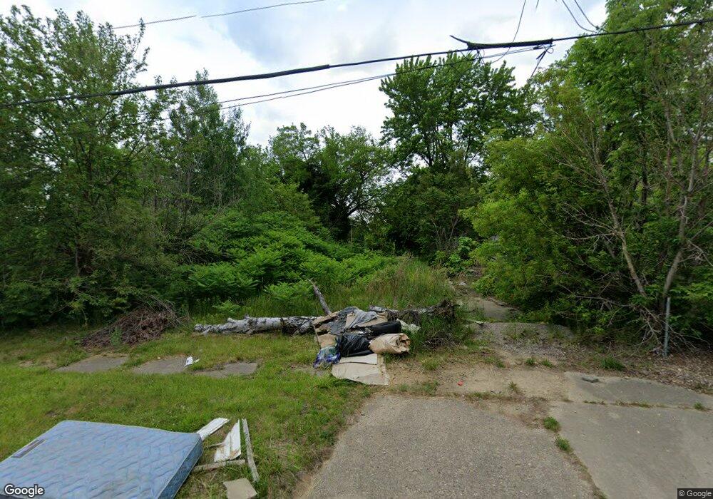
1429 Bennett Ave Flint, MI 48506
Eastside NeighborhoodEstimated Value: $54,000 - $58,000
4
Beds
2
Baths
1,547
Sq Ft
$36/Sq Ft
Est. Value
About This Home
This home is located at 1429 Bennett Ave, Flint, MI 48506 and is currently estimated at $56,000, approximately $36 per square foot. 1429 Bennett Ave is a home located in Genesee County with nearby schools including Potter School, Flint Cultural Center Academy, and WAY Academy of Flint.
Ownership History
Date
Name
Owned For
Owner Type
Purchase Details
Closed on
Dec 21, 2011
Sold by
Genesee County Treasurer
Bought by
Genesee County Land Bank
Current Estimated Value
Purchase Details
Closed on
May 11, 2006
Sold by
Federal National Mortgage Association
Bought by
Washington Mutual Bank Fa
Purchase Details
Closed on
Aug 3, 2004
Sold by
Mortgage Electronic Registration Systems
Bought by
Federal National Mortgage Association
Purchase Details
Closed on
Jul 28, 2004
Sold by
Lively Barry E
Bought by
Mortgage Electronic Registration Systems
Create a Home Valuation Report for This Property
The Home Valuation Report is an in-depth analysis detailing your home's value as well as a comparison with similar homes in the area
Home Values in the Area
Average Home Value in this Area
Purchase History
| Date | Buyer | Sale Price | Title Company |
|---|---|---|---|
| Genesee County Land Bank | -- | None Available | |
| Washington Mutual Bank Fa | -- | None Available | |
| Federal National Mortgage Association | -- | -- | |
| Mortgage Electronic Registration Systems | $24,097 | -- |
Source: Public Records
Tax History
| Year | Tax Paid | Tax Assessment Tax Assessment Total Assessment is a certain percentage of the fair market value that is determined by local assessors to be the total taxable value of land and additions on the property. | Land | Improvement |
|---|---|---|---|---|
| 2025 | -- | $0 | $0 | $0 |
| 2024 | -- | $0 | $0 | $0 |
| 2023 | -- | $0 | $0 | $0 |
| 2022 | $0 | $0 | $0 | $0 |
| 2021 | $0 | $0 | $0 | $0 |
| 2020 | $0 | $0 | $0 | $0 |
| 2019 | $0 | $0 | $0 | $0 |
| 2018 | $0 | $0 | $0 | $0 |
| 2017 | $0 | $0 | $0 | $0 |
| 2016 | $0 | $0 | $0 | $0 |
| 2015 | -- | $0 | $0 | $0 |
| 2014 | -- | $0 | $0 | $0 |
| 2012 | -- | $0 | $0 | $0 |
Source: Public Records
Map
Nearby Homes
- 1513 Jane Ave
- 1529 Broadway Blvd
- 1454 Delaware Ave
- 1273 Broadway Blvd
- 1629 New York Ave
- 1445 Kearsley Park Blvd Kearsley Park Blvd
- 1445 Maryland Ave
- 1540 Illinois Ave
- 1805 Bennett Ave
- 1721 New York Ave
- 1609 Ohio Ave
- 1422 Leith St
- 1518 Leith St
- 1379 Washington Ave
- 1526 Montana Ave
- 1826 Dakota Ave
- 1730 Oklahoma Ave
- 1733 Oklahoma Ave
- 2506 Arlington Ave
- 1656 Montana Ave
- 1425 Bennett Ave
- 1433 Bennett Ave
- 1422 Mabel Ave
- 1418 Mabel Ave
- 1443 Bennett Ave
- 1430 Bennett Ave
- 1434 Bennett Ave
- 1447 Bennett Ave
- 1422 Bennett Ave
- 1413 Bennett Ave
- 1405 Bennett Ave
- 1446 Mabel Ave
- 1451 Bennett Ave
- 1450 Mabel Ave
- 1454 Mabel Ave
- 1410 Mabel Ave
- 1437 Mabel Ave
- 2218 Lewis St
- 1417 Mabel Ave
- 1413 E Hamilton Ave
Your Personal Tour Guide
Ask me questions while you tour the home.