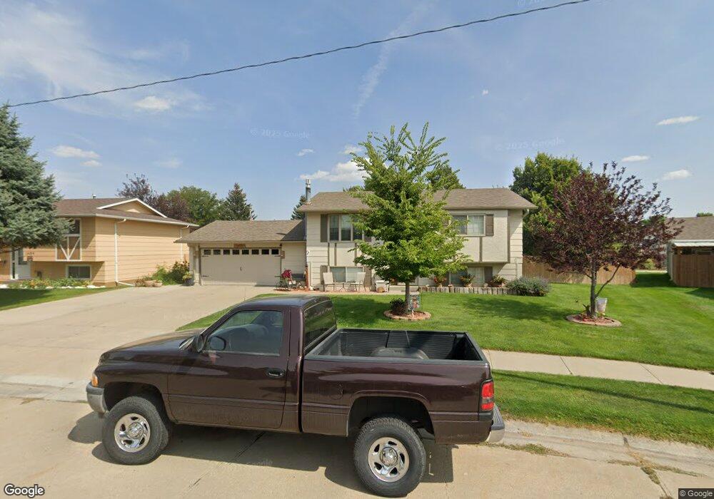
1429 Countryside Ln Alliance, NE 69301
Estimated Value: $122,000 - $264,000
3
Beds
2
Baths
1,016
Sq Ft
$192/Sq Ft
Est. Value
About This Home
This home is located at 1429 Countryside Ln, Alliance, NE 69301 and is currently estimated at $195,075, approximately $192 per square foot. 1429 Countryside Ln is a home located in Box Butte County with nearby schools including Alliance High School, St. Agnes Academy, and Immanuel Evangelical Lutheran School.
Ownership History
Date
Name
Owned For
Owner Type
Purchase Details
Closed on
Mar 18, 2010
Sold by
Harwich Lori L
Bought by
Harwick Fayette L
Current Estimated Value
Create a Home Valuation Report for This Property
The Home Valuation Report is an in-depth analysis detailing your home's value as well as a comparison with similar homes in the area
Home Values in the Area
Average Home Value in this Area
Purchase History
| Date | Buyer | Sale Price | Title Company |
|---|---|---|---|
| Harwick Fayette L | -- | -- | |
| Harwick Fayettte L | -- | -- |
Source: Public Records
Tax History Compared to Growth
Tax History
| Year | Tax Paid | Tax Assessment Tax Assessment Total Assessment is a certain percentage of the fair market value that is determined by local assessors to be the total taxable value of land and additions on the property. | Land | Improvement |
|---|---|---|---|---|
| 2024 | $2,000 | $159,675 | $10,155 | $149,520 |
| 2023 | $2,745 | $159,675 | $10,155 | $149,520 |
| 2022 | $2,327 | $127,775 | $9,140 | $118,635 |
| 2021 | $2,175 | $118,005 | $9,140 | $108,865 |
| 2020 | $2,169 | $118,005 | $9,140 | $108,865 |
| 2019 | $2,119 | $118,005 | $9,140 | $108,865 |
| 2018 | $2,094 | $117,230 | $9,140 | $108,090 |
| 2017 | $2,107 | $113,512 | $8,632 | $104,880 |
| 2016 | $2,082 | $113,510 | $8,630 | $104,880 |
| 2015 | $1,862 | $107,615 | $8,630 | $98,985 |
| 2014 | $1,862 | $107,617 | $8,632 | $98,985 |
Source: Public Records
Map
Nearby Homes
- 1021 Dakota Ave
- 1232 Emerson Ave
- 672 W 20th St
- 928 Black Hills Ave
- 20th St Emerson Ave To Colorado Ave
- 936 Platte Ave
- 1239 Toluca Ave
- 819 Black Hills Ave
- 911 Emerson Ave
- 1232 Cheyenne Ave
- 924 Big Horn Ave
- 907 Toluca Ave
- 719 Toluca Ave
- 621 Emerson Ave
- 1019 Laramie Ave
- 904 Laramie Ave
- 2039 Niobrara Ave
- 316 Big Horn Ave
- 420 Laramie Ave
- 1231 Missouri Ave
- 1435 Countryside Ln
- 1423 Countryside Ln
- 1430 Bel Air Ave
- 1424 Bel Air Ave
- 1436 Bel Air Ave
- 1441 Countryside Ln
- 1432 Countryside Ln
- 1419 Countryside Ln
- 1416 Bel Air Ave
- 1442 Bel Air Ave
- 1420 Countryside Ln
- 1406 Bel Air Ave
- 1442 Countryside Ln
- 1447 Countryside Ln
- 1415 Countryside Ln
- 1448 Bel Air Ave
- 1108 W 14th St
- 1448 Countryside Ln
- 1429 Bel Air Ave
- 1411 Countryside Ln