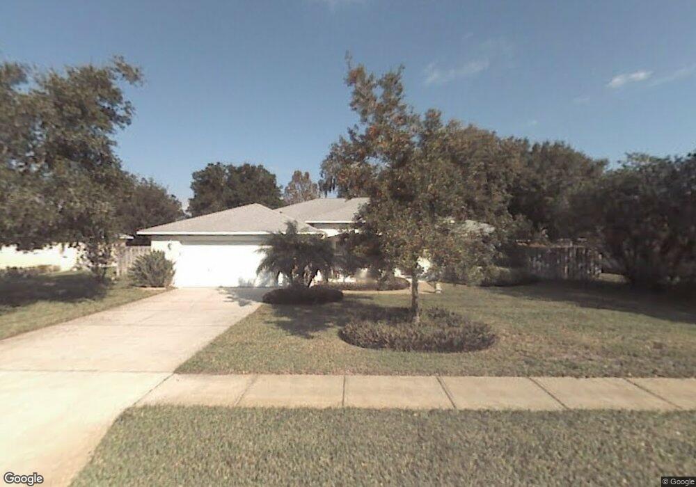
1429 Royal Grove Ln Port Orange, FL 32129
Groves NeighborhoodEstimated Value: $344,000 - $381,000
3
Beds
2
Baths
2,186
Sq Ft
$164/Sq Ft
Est. Value
About This Home
This home is located at 1429 Royal Grove Ln, Port Orange, FL 32129 and is currently estimated at $359,121, approximately $164 per square foot. 1429 Royal Grove Ln is a home located in Volusia County with nearby schools including Atlantic High School, Horizon Elementary School, and Silver Sands Middle School.
Ownership History
Date
Name
Owned For
Owner Type
Purchase Details
Closed on
Jan 27, 2021
Sold by
Taylor Eleanor and Taylor Eleanor M
Bought by
Taylor Eleanor and Eleanor Taylor Revocable Trust
Current Estimated Value
Purchase Details
Closed on
Apr 15, 1998
Sold by
Douglas Joseph S and Douglas Kathryn J
Bought by
Taylor Eleanor M
Home Financials for this Owner
Home Financials are based on the most recent Mortgage that was taken out on this home.
Original Mortgage
$86,300
Outstanding Balance
$16,440
Interest Rate
7.14%
Mortgage Type
Purchase Money Mortgage
Estimated Equity
$342,681
Purchase Details
Closed on
Jul 19, 1996
Sold by
Johnson Group Inc
Bought by
Douglas Joseph S and Collier Kathryn J
Home Financials for this Owner
Home Financials are based on the most recent Mortgage that was taken out on this home.
Original Mortgage
$104,300
Interest Rate
8.27%
Mortgage Type
Purchase Money Mortgage
Create a Home Valuation Report for This Property
The Home Valuation Report is an in-depth analysis detailing your home's value as well as a comparison with similar homes in the area
Home Values in the Area
Average Home Value in this Area
Purchase History
| Date | Buyer | Sale Price | Title Company |
|---|---|---|---|
| Taylor Eleanor | -- | Attorney | |
| Taylor Eleanor M | $107,900 | -- | |
| Douglas Joseph S | $109,800 | -- | |
| Johnson Group Inc | $28,000 | -- |
Source: Public Records
Mortgage History
| Date | Status | Borrower | Loan Amount |
|---|---|---|---|
| Open | Taylor Eleanor M | $86,300 | |
| Previous Owner | Johnson Group Inc | $104,300 |
Source: Public Records
Tax History Compared to Growth
Tax History
| Year | Tax Paid | Tax Assessment Tax Assessment Total Assessment is a certain percentage of the fair market value that is determined by local assessors to be the total taxable value of land and additions on the property. | Land | Improvement |
|---|---|---|---|---|
| 2025 | $2,215 | $176,317 | -- | -- |
| 2024 | $2,215 | $171,349 | -- | -- |
| 2023 | $2,215 | $166,358 | $0 | $0 |
| 2022 | $2,207 | $161,513 | $0 | $0 |
| 2021 | $2,248 | $156,809 | $0 | $0 |
| 2020 | $2,188 | $154,644 | $0 | $0 |
| 2019 | $2,112 | $151,167 | $0 | $0 |
| 2018 | $2,109 | $148,348 | $0 | $0 |
| 2017 | $2,111 | $145,297 | $0 | $0 |
| 2016 | $2,112 | $142,309 | $0 | $0 |
| 2015 | $2,174 | $141,320 | $0 | $0 |
| 2014 | $2,180 | $140,198 | $0 | $0 |
Source: Public Records
Map
Nearby Homes
- 3776 Grove View Ln
- 3769 Grove View Ln
- 3739 Sunrise Oaks Dr
- 1467 Bay Grove Dr
- 220 Bob White Ct
- 3813 Long Grove Ln
- 320 Bob White Ct
- 240 Bob White Ct Unit 2400
- 105 Bob White Ct Unit 105D
- 102 Bob White Ct Unit 9
- 3819 Long Grove Ln
- 39XX S Clyde Morris Blvd
- 148 Bob White Ct
- 3836 Long Grove Ln
- 3830 Clyde Morris Blvd
- 3548 Forest Branch Dr Unit C
- 39 Cypress In the Wood
- 3552 Forest Branch Dr Unit B
- 3552 Forest Branch Dr Unit C
- 3550 Forest Branch Dr Unit A
- 1427 Royal Grove Ln
- 1431 Royal Grove Ln
- 3745 Long Grove Ln
- 3743 Long Grove Ln
- 3747 Long Grove Ln
- 3775 Maple Grove Ct
- 1426 Royal Grove Ln
- 1425 Royal Grove Ln
- 1433 Royal Grove Ln
- 3749 Long Grove Ln
- 3739 Long Grove Ln
- 1424 Royal Grove Ln
- 3772 Grove View Ln
- 3777 Maple Grove Ct
- 3776 Maple Grove Ct
- 1423 Royal Grove Ln
- 3742 Long Grove Ln
- 3740 Long Grove Ln
- 3751 Long Grove Ln
- 3744 Long Grove Ln