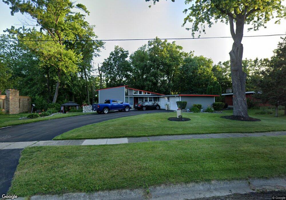
1429 Sunnyside Ave Flint, MI 48503
College Cultural Neighborhood NeighborhoodEstimated Value: $201,000 - $226,235
4
Beds
3
Baths
1,486
Sq Ft
$141/Sq Ft
Est. Value
About This Home
This home is located at 1429 Sunnyside Ave, Flint, MI 48503 and is currently estimated at $209,809, approximately $141 per square foot. 1429 Sunnyside Ave is a home located in Genesee County with nearby schools including Pierce Elementary School, Flint Southwestern Classical Academy, and Flint Cultural Center Academy.
Ownership History
Date
Name
Owned For
Owner Type
Purchase Details
Closed on
Dec 18, 2018
Sold by
Wills Latonya
Bought by
Wills Latonya and Wills Frank
Current Estimated Value
Purchase Details
Closed on
Jul 28, 2010
Sold by
Vandyke Matthew D and Vandyke Angela
Bought by
Federal Home Loan Mortgage Corp
Purchase Details
Closed on
May 25, 2004
Sold by
Styburski Chester and Styburski Patricia A
Bought by
Vandyke Matthew D
Purchase Details
Closed on
Dec 6, 2002
Sold by
Wilson Elgene Johnson
Bought by
Styburski Chester
Create a Home Valuation Report for This Property
The Home Valuation Report is an in-depth analysis detailing your home's value as well as a comparison with similar homes in the area
Home Values in the Area
Average Home Value in this Area
Purchase History
| Date | Buyer | Sale Price | Title Company |
|---|---|---|---|
| Wills Latonya | -- | None Available | |
| Federal Home Loan Mortgage Corp | $107,432 | None Available | |
| Vandyke Matthew D | $115,000 | Guaranty Title Company | |
| Styburski Chester | $211,928 | -- |
Source: Public Records
Tax History Compared to Growth
Tax History
| Year | Tax Paid | Tax Assessment Tax Assessment Total Assessment is a certain percentage of the fair market value that is determined by local assessors to be the total taxable value of land and additions on the property. | Land | Improvement |
|---|---|---|---|---|
| 2025 | $1,782 | $116,500 | $0 | $0 |
| 2024 | $1,587 | $110,300 | $0 | $0 |
| 2023 | $1,542 | $91,900 | $0 | $0 |
| 2022 | $0 | $77,100 | $0 | $0 |
| 2021 | $1,622 | $64,600 | $0 | $0 |
| 2020 | $1,435 | $68,900 | $0 | $0 |
| 2019 | $3,447 | $75,200 | $0 | $0 |
| 2018 | $1,440 | $61,700 | $0 | $0 |
| 2017 | $1,394 | $0 | $0 | $0 |
| 2016 | $1,383 | $0 | $0 | $0 |
| 2015 | -- | $0 | $0 | $0 |
| 2014 | -- | $0 | $0 | $0 |
| 2012 | -- | $31,000 | $0 | $0 |
Source: Public Records
Map
Nearby Homes
- 1510 S Franklin Ave
- 930 Belmont Ave
- 1018 Lafayette St
- 1601 Wayne St
- 2313 Brookside Dr
- 2122 Pierce St
- 1110 Pingree Ave
- 841 E 8th St
- 911 E 7th St
- 2013 E Court St
- 2319 Calumet St
- 2010 Crocker Ave
- 2029 Aitken Ave
- 1623 Montclair Ave
- 1917 Whittlesey St
- 1840 Mcphail St
- 2202 Windemere Ave
- 2208 Windemere Ave
- 2131 Windemere Ave
- 1937 Chelan St
- 1441 Sunnyside Ave
- 1415 Sunnyside Ave
- 1772 Brookside Dr
- 1768 Brookside Dr
- 1628 Kensington Ave
- 1618 Kensington Ave
- 1424 Sunnyside Ave
- 1632 Kensington Ave
- 1776 Brookside Dr
- 1401 Sunnyside Ave
- 1608 Kensington Ave
- 1418 Sunnyside Ave
- 1414 Sunnyside Ave
- 1780 Brookside Dr
- 1760 Brookside Dr
- 1621 Kensington Ave
- 1786 Brookside Dr
- 1625 Kensington Ave
- 1602 Brookwood Ave
- 1613 Kensington Ave