14294 Densmore Rd Concord, MI 49237
Estimated Value: $206,000 - $390,000
Studio
1
Bath
1,632
Sq Ft
$181/Sq Ft
Est. Value
About This Home
This home is located at 14294 Densmore Rd, Concord, MI 49237 and is currently estimated at $294,640, approximately $180 per square foot. 14294 Densmore Rd is a home located in Jackson County with nearby schools including Concord Elementary School, Concord Middle School, and Concord High School.
Ownership History
Date
Name
Owned For
Owner Type
Purchase Details
Closed on
Oct 15, 2016
Sold by
Bilaski Lott Suzette L and Rose Suzette L
Bought by
Bilaski Lott Suzette L and Lott Allan
Current Estimated Value
Home Financials for this Owner
Home Financials are based on the most recent Mortgage that was taken out on this home.
Original Mortgage
$159,600
Outstanding Balance
$101,843
Interest Rate
3.48%
Mortgage Type
New Conventional
Estimated Equity
$192,797
Purchase Details
Closed on
Apr 16, 2004
Sold by
Rose Edward T and Rose Suzette L
Bought by
Rose Suzette L
Home Financials for this Owner
Home Financials are based on the most recent Mortgage that was taken out on this home.
Original Mortgage
$143,200
Interest Rate
7.3%
Mortgage Type
New Conventional
Purchase Details
Closed on
May 5, 1995
Bought by
Rose Edward T and Rose Suzette L
Create a Home Valuation Report for This Property
The Home Valuation Report is an in-depth analysis detailing your home's value as well as a comparison with similar homes in the area
Purchase History
| Date | Buyer | Sale Price | Title Company |
|---|---|---|---|
| Bilaski Lott Suzette L | -- | Title Source Inc | |
| Rose Suzette L | -- | Mst | |
| Rose Edward T | $52,500 | -- |
Source: Public Records
Mortgage History
| Date | Status | Borrower | Loan Amount |
|---|---|---|---|
| Open | Bilaski Lott Suzette L | $159,600 | |
| Closed | Rose Suzette L | $143,200 |
Source: Public Records
Tax History
| Year | Tax Paid | Tax Assessment Tax Assessment Total Assessment is a certain percentage of the fair market value that is determined by local assessors to be the total taxable value of land and additions on the property. | Land | Improvement |
|---|---|---|---|---|
| 2025 | $1,952 | $144,700 | $144,700 | $0 |
| 2024 | $7 | $141,500 | $141,500 | $0 |
| 2023 | $628 | $134,300 | $134,300 | $0 |
| 2022 | $1,772 | $120,700 | $120,700 | $0 |
| 2021 | $1,744 | $114,500 | $114,500 | $0 |
| 2020 | $1,635 | $102,500 | $0 | $0 |
| 2019 | $1,590 | $97,600 | $0 | $0 |
| 2018 | $1,554 | $93,300 | $0 | $0 |
| 2017 | $1,394 | $95,400 | $0 | $0 |
| 2016 | $506 | $91,150 | $91,150 | $0 |
| 2015 | -- | $84,350 | $84,350 | $0 |
| 2014 | -- | $86,000 | $86,000 | $0 |
| 2013 | -- | $86,000 | $86,000 | $0 |
Source: Public Records
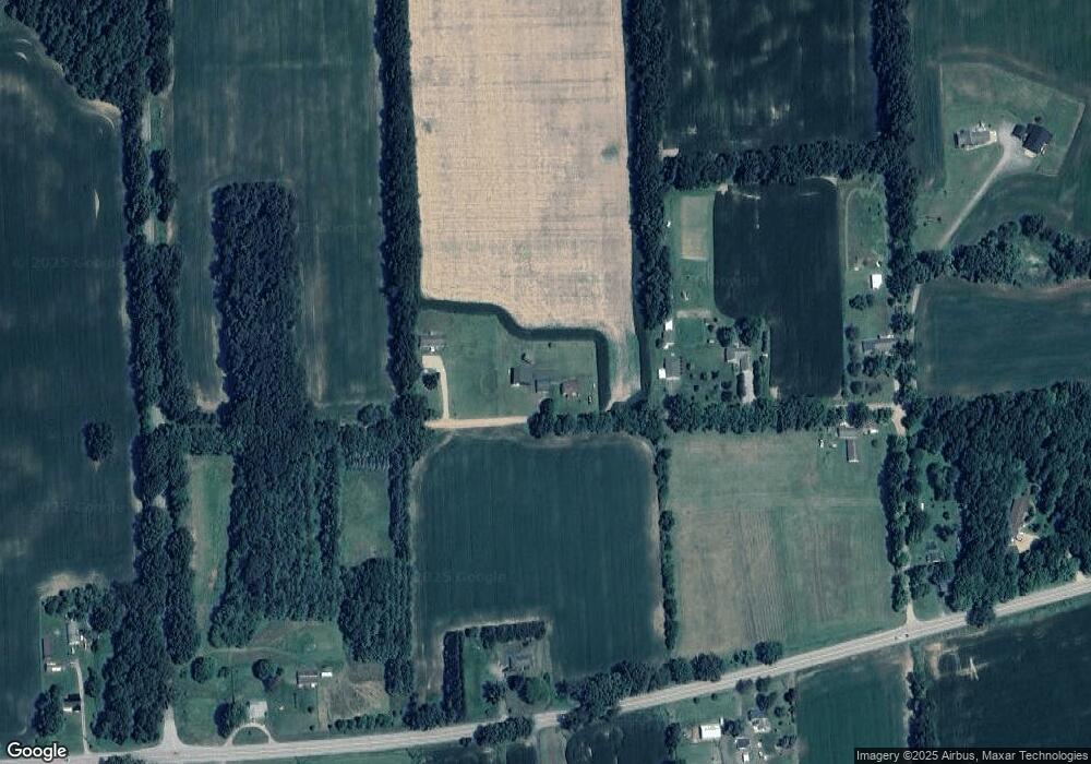
Map
Nearby Homes
- 270 Wood Hills Dr
- 340 Wood Hills Dr
- 201 Lake Hills Dr
- 6175 van Wert Rd
- 190 Maple St
- 0 River Bend Drive Lot #11
- 0 River Bend Drive Lot #4
- 0 River Bend Drive Lot #3
- 0 River Bend Drive Lot #5
- 0 River Bend Drive Lot #9
- 0 River Bend Drive Lot #10
- 0 Albion Rd
- 642 Swains Lake Dr
- 6521 van Wert Rd
- 9080 Wheeler Rd
- 7210 Pulaski Rd Rd
- 213 Railroad St
- 313 Michigan St
- 0 River Bend Drive Lot #1
- 0 River Bend Drive Lot #2
- 12350 Densmore Rd
- 14224 Densmore Rd
- 14308 Homer Rd
- 14308 Homer Rd Unit M 60
- 14130 Homer Rd
- 14215 Densmore Rd
- 14200 Densmore Rd
- 14245 Homer Rd
- 14307 Homer Rd
- 14478 Homer Rd
- 14502 Homer Rd
- 14054 Homer Rd
- 14048 Homer Rd
- 14505 Homer Rd
- 14487 Homer Rd
- 14555 Homer Rd
- 13946 Homer Rd
- 6135 Mann Rd
- 6182 Mann Rd
- 14701 Homer Rd
Your Personal Tour Guide
Ask me questions while you tour the home.