14296 Tyson Trail Camden, MI 49232
Estimated Value: $636,000 - $1,152,000
3
Beds
3
Baths
2,084
Sq Ft
$421/Sq Ft
Est. Value
About This Home
This home is located at 14296 Tyson Trail, Camden, MI 49232 and is currently estimated at $877,822, approximately $421 per square foot. 14296 Tyson Trail is a home with nearby schools including Camden-Frontier K-8 School and Camden-Frontier High School.
Ownership History
Date
Name
Owned For
Owner Type
Purchase Details
Closed on
Jul 3, 2025
Sold by
Bialy John F and Bialy Beth A
Bought by
Mosley Joanne Ruth
Current Estimated Value
Purchase Details
Closed on
Jul 2, 1999
Sold by
Demaria Frank M
Bought by
Kanouse William B and Kanouse Julie A
Purchase Details
Closed on
Aug 26, 1996
Bought by
Demaria Frank M
Purchase Details
Closed on
Oct 2, 1993
Bought by
Kanouse William B and Kanouse Juile A
Create a Home Valuation Report for This Property
The Home Valuation Report is an in-depth analysis detailing your home's value as well as a comparison with similar homes in the area
Home Values in the Area
Average Home Value in this Area
Purchase History
| Date | Buyer | Sale Price | Title Company |
|---|---|---|---|
| Mosley Joanne Ruth | $800,000 | Branch County Abstract & Title | |
| Mosley Joanne Ruth | $800,000 | Branch County Abstract & Title | |
| Kanouse William B | $48,000 | -- | |
| Demaria Frank M | $35,000 | -- | |
| Kanouse William B | $35,000 | -- |
Source: Public Records
Tax History Compared to Growth
Tax History
| Year | Tax Paid | Tax Assessment Tax Assessment Total Assessment is a certain percentage of the fair market value that is determined by local assessors to be the total taxable value of land and additions on the property. | Land | Improvement |
|---|---|---|---|---|
| 2025 | $12,398 | $465,400 | $0 | $0 |
| 2024 | $3,198 | $439,600 | $0 | $0 |
| 2023 | $3,048 | $372,000 | $0 | $0 |
| 2022 | $11,583 | $311,200 | $0 | $0 |
| 2021 | $11,045 | $284,900 | $0 | $0 |
| 2020 | $11,063 | $285,300 | $0 | $0 |
| 2019 | $10,699 | $269,600 | $0 | $0 |
| 2018 | $10,326 | $243,100 | $0 | $0 |
| 2017 | $10,003 | $243,100 | $0 | $0 |
| 2016 | $9,918 | $244,120 | $0 | $0 |
| 2015 | $2,516 | $244,120 | $0 | $0 |
| 2013 | $2,437 | $225,590 | $0 | $0 |
| 2012 | $2,380 | $217,280 | $0 | $0 |
Source: Public Records
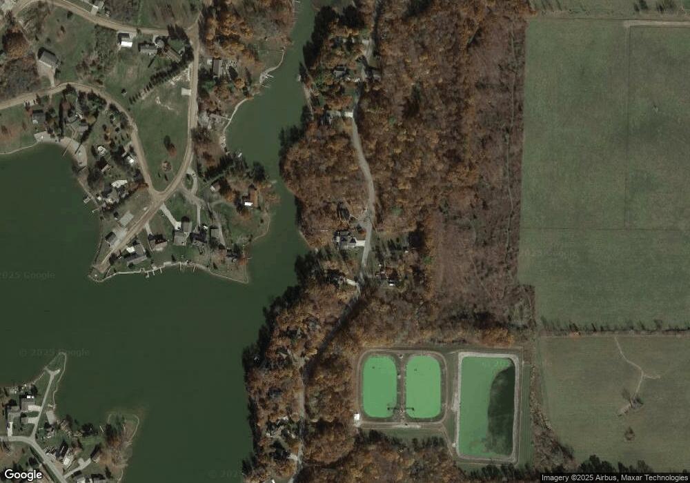
Map
Nearby Homes
- 13857 E Diane Dr
- 13791 E Diane Dr
- 14600 W Diane Dr
- 14401 Woodbridge Rd
- 13551 Hillsdale Rd
- 14934 Heather Ct
- 623-624 Yuma Trail
- 362 Wasco Trail
- 199 Shoshone Trail
- 155 Navajo Trail
- 11794 Clark Rd
- 988-989 Seneca Dr
- 207 Modoc Trail
- 213 Navajo Trail
- 4002 & 4014 Meadowlawn Dr
- 14165 Crampton Rd
- 14621 Laura Ln
- 131 Choctaw Trail
- 0 Seneca Dr
- 234 Seneca Dr
- 14044 Tyson Trail
- 14320 Tyson Trail
- 14299 Tyson Trail
- 14279 Tyson Trail
- 14325 Tyson Trail
- 14279 Suelynn Cir
- 14285 Suelynn Cir
- 14390 Tyson Trail
- 14289 Suelynn Cir
- 14289 Sue Lynn
- 14214 Tyson Trail
- 14396 Tyson Trail
- 14275 Suelynn Cir
- 14295 Suelynn Cir
- 14400 Tyson Trail
- 14285 Sue Lynn
- 14313 E Diane Dr
- 14249 E Diane Dr
- 14178 Tyson Trail
- 14178 Tyson Trail