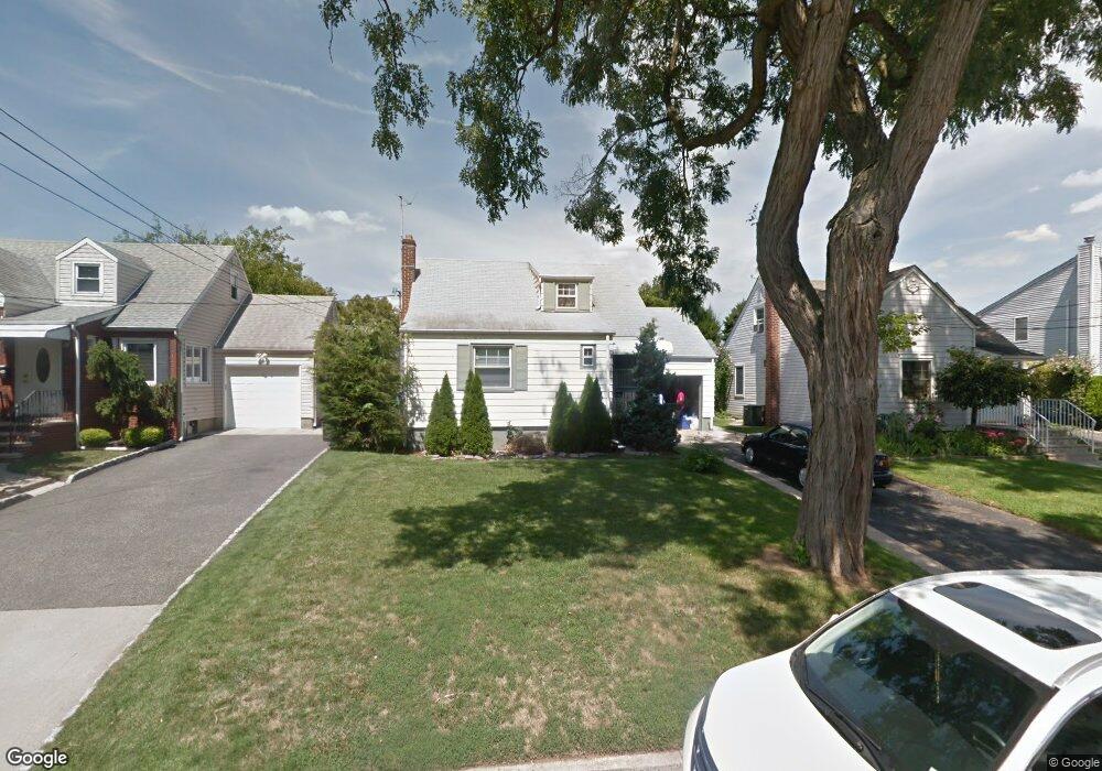
143 10th St Wood Ridge, NJ 07075
Estimated Value: $606,892 - $759,000
--
Bed
--
Bath
1,623
Sq Ft
$435/Sq Ft
Est. Value
About This Home
This home is located at 143 10th St, Wood Ridge, NJ 07075 and is currently estimated at $706,723, approximately $435 per square foot. 143 10th St is a home located in Bergen County with nearby schools including Catherine E. Doyle Elementary School, Wood Ridge Intermediate School, and Wood Ridge High School.
Ownership History
Date
Name
Owned For
Owner Type
Purchase Details
Closed on
Nov 16, 2016
Sold by
Bucud Michael Joseph and Maria Mary Joyce Sta
Bought by
Difeo Louis Christopher
Current Estimated Value
Home Financials for this Owner
Home Financials are based on the most recent Mortgage that was taken out on this home.
Original Mortgage
$284,400
Outstanding Balance
$229,184
Interest Rate
3.54%
Mortgage Type
New Conventional
Estimated Equity
$477,539
Purchase Details
Closed on
Jul 19, 2006
Purchase Details
Closed on
Nov 21, 2003
Sold by
Sileo Leonard A
Bought by
Bucud Michael S and Mary Joyce Sta Maria
Home Financials for this Owner
Home Financials are based on the most recent Mortgage that was taken out on this home.
Original Mortgage
$322,700
Interest Rate
5.9%
Create a Home Valuation Report for This Property
The Home Valuation Report is an in-depth analysis detailing your home's value as well as a comparison with similar homes in the area
Home Values in the Area
Average Home Value in this Area
Purchase History
| Date | Buyer | Sale Price | Title Company |
|---|---|---|---|
| Difeo Louis Christopher | $316,000 | Title Insurance Commitment | |
| -- | -- | -- | |
| Bucud Michael S | $345,360 | -- |
Source: Public Records
Mortgage History
| Date | Status | Borrower | Loan Amount |
|---|---|---|---|
| Open | Difeo Louis Christopher | $284,400 | |
| Previous Owner | Bucud Michael S | $322,700 |
Source: Public Records
Tax History Compared to Growth
Tax History
| Year | Tax Paid | Tax Assessment Tax Assessment Total Assessment is a certain percentage of the fair market value that is determined by local assessors to be the total taxable value of land and additions on the property. | Land | Improvement |
|---|---|---|---|---|
| 2025 | $9,367 | $326,600 | $185,300 | $141,300 |
| 2024 | $9,226 | $326,600 | $185,300 | $141,300 |
| 2023 | $9,128 | $326,600 | $185,300 | $141,300 |
| 2022 | $9,128 | $326,600 | $185,300 | $141,300 |
| 2021 | $9,220 | $326,600 | $185,300 | $141,300 |
| 2020 | $9,197 | $326,600 | $185,300 | $141,300 |
| 2019 | $9,060 | $326,600 | $185,300 | $141,300 |
| 2018 | $8,763 | $326,600 | $185,300 | $141,300 |
| 2017 | $8,557 | $326,600 | $185,300 | $141,300 |
| 2016 | $8,398 | $219,100 | $118,800 | $100,300 |
| 2015 | $8,256 | $219,100 | $118,800 | $100,300 |
| 2014 | $8,087 | $219,100 | $118,800 | $100,300 |
Source: Public Records
Map
Nearby Homes
- 271 North Ave
- 148 12th St
- 364 Wood Ridge Ave
- 147 14th St
- 181 Wood Ridge Ave
- 225 Marlboro Rd
- 289 Bradley Dr
- 89 Rose St
- 152 Helm Ave
- 16 Arnold Dr Unit 5308
- 289 Valley Blvd Unit 1D
- 289 Valley Blvd Unit 1A
- 39 Arnold Dr
- 32 Rose St
- 420 Innes Rd
- 432 Innes Rd
- 120 Wesmont Dr
- 148 Hackensack St
- 53 Hackensack St
- 102 Wesmont Dr