143 Amandas Way Unit 21 Murphy, NC 28906
Estimated Value: $396,000 - $444,734
3
Beds
5
Baths
1,680
Sq Ft
$253/Sq Ft
Est. Value
About This Home
This home is located at 143 Amandas Way Unit 21, Murphy, NC 28906 and is currently estimated at $424,934, approximately $252 per square foot. 143 Amandas Way Unit 21 is a home located in Cherokee County with nearby schools including Ranger Elementary/Middle School and Hiwassee Dam High School.
Ownership History
Date
Name
Owned For
Owner Type
Purchase Details
Closed on
Nov 6, 2019
Sold by
Fust Edward A and Fust Jackie H
Bought by
Reeves Emily L and Reeves Dennis H
Current Estimated Value
Home Financials for this Owner
Home Financials are based on the most recent Mortgage that was taken out on this home.
Original Mortgage
$193,840
Outstanding Balance
$170,160
Interest Rate
3.6%
Estimated Equity
$254,774
Purchase Details
Closed on
Oct 1, 2002
Bought by
Fust Edward A and Fust W
Create a Home Valuation Report for This Property
The Home Valuation Report is an in-depth analysis detailing your home's value as well as a comparison with similar homes in the area
Home Values in the Area
Average Home Value in this Area
Purchase History
| Date | Buyer | Sale Price | Title Company |
|---|---|---|---|
| Reeves Emily L | $242,500 | None Available | |
| Fust Edward A | $15,000 | -- |
Source: Public Records
Mortgage History
| Date | Status | Borrower | Loan Amount |
|---|---|---|---|
| Open | Reeves Emily L | $193,840 |
Source: Public Records
Tax History
| Year | Tax Paid | Tax Assessment Tax Assessment Total Assessment is a certain percentage of the fair market value that is determined by local assessors to be the total taxable value of land and additions on the property. | Land | Improvement |
|---|---|---|---|---|
| 2025 | $1,771 | $256,590 | $0 | $0 |
| 2024 | $18 | $256,590 | $0 | $0 |
| 2023 | $1,761 | $256,590 | $0 | $0 |
| 2022 | $1,761 | $256,590 | $0 | $0 |
| 2021 | $1,479 | $256,590 | $18,000 | $238,590 |
| 2020 | $1,376 | $256,590 | $0 | $0 |
| 2019 | $1,547 | $256,810 | $0 | $0 |
| 2018 | $1,508 | $256,810 | $0 | $0 |
| 2017 | $1,508 | $256,810 | $0 | $0 |
| 2016 | $1,508 | $256,810 | $0 | $0 |
| 2015 | $1,508 | $256,810 | $45,000 | $211,810 |
| 2012 | -- | $249,730 | $45,000 | $204,730 |
Source: Public Records
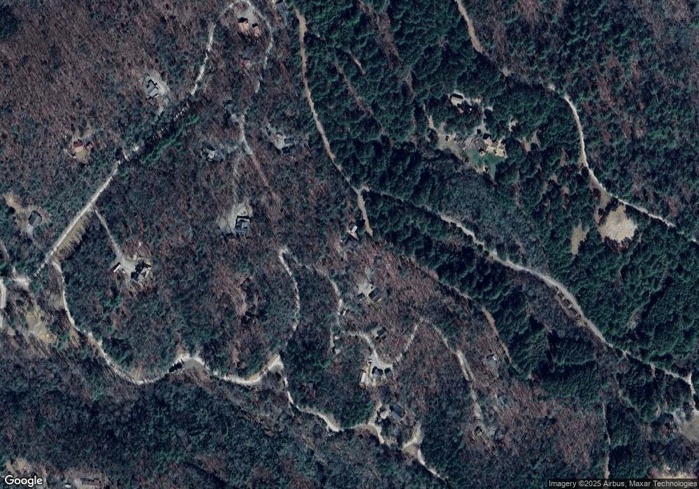
Map
Nearby Homes
- Lot 26A Amandas Way
- 259 Degatide Dr
- 0 Kestrel Ridge Cir
- 570 Hawthorne Ln
- 43 Kestrel Ridge Cir
- Lot 43 Kestrel Ridge Cir
- 0 Kesrel Ridge Cir
- 00 Antler Ln
- 54 Hawthorne Ln
- 26/27 Bear Ridge Trail
- 59 Nugent Ln
- Lot 7 Foot Hill Estates
- n/a Maegan's Drive Par 3
- 00 Headwaters Dr
- Lot 18 the Ridges of Carolina
- Lot 1 Weece Mountain Estate
- 14 Panther Knob Ln
- 919 Panther Top Rd
- 9.10 Oakgrove Rd
- Lot 2 Lynae Ln
- 143 Amandas Way
- 167 Amanda's Way
- 171 Amandas Way
- 167 Amandas Way
- 177 Amandas Way
- 186 Amandas Way
- 26-A Amandas Way
- 1.40 Ac Amandas Way
- 18 Amandas Way
- 225 Amandas Way
- 225 Amandas Way Unit 19
- 770 Hawthorne Ln
- 721 Hawthorne Ln
- 240 Amandas Way
- 240 Amandas Way
- 259 Degatide Dr
- 0 Degatide Dr
- 00 Degatide Dr
- 26E Degatide Dr
- TR 12 Degatide Dr
Your Personal Tour Guide
Ask me questions while you tour the home.