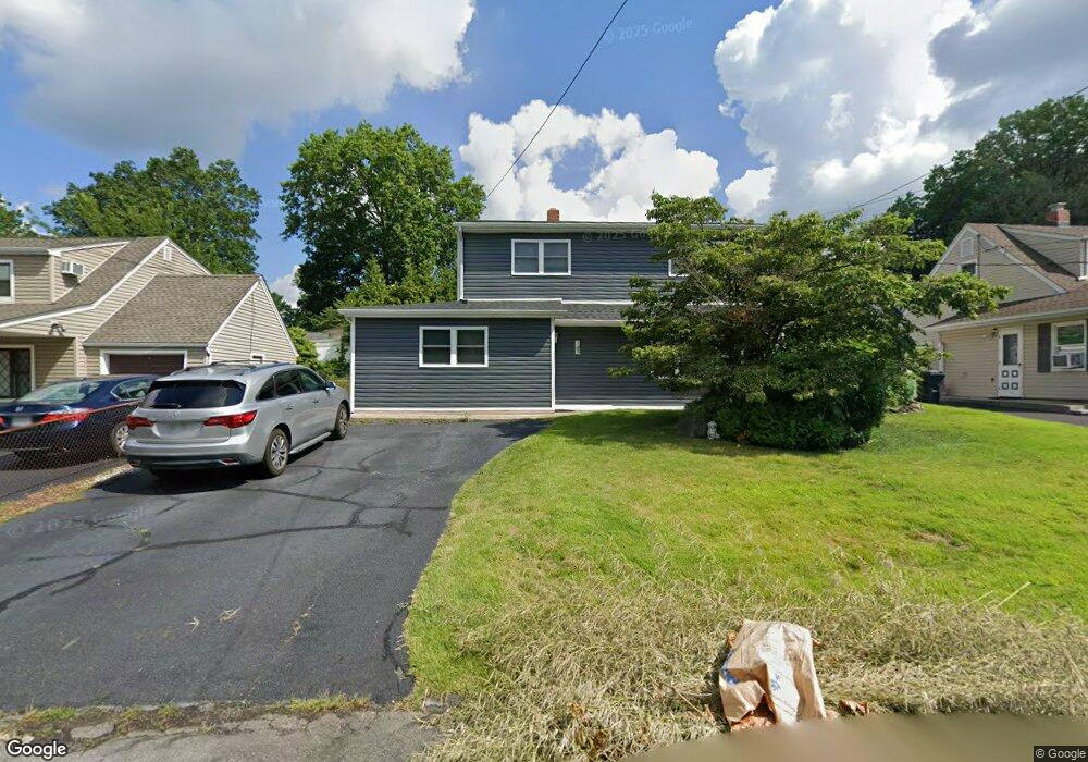
143 Bogert Ave Pearl River, NY 10965
Estimated Value: $709,000 - $752,000
4
Beds
2
Baths
1,814
Sq Ft
$400/Sq Ft
Est. Value
About This Home
This home is located at 143 Bogert Ave, Pearl River, NY 10965 and is currently estimated at $724,795, approximately $399 per square foot. 143 Bogert Ave is a home located in Rockland County with nearby schools including Pearl River High School and St Margaret School.
Ownership History
Date
Name
Owned For
Owner Type
Purchase Details
Closed on
Nov 24, 2020
Sold by
Fleming Christopher J and Fleming Kristina M
Bought by
Fleming Christopher J
Current Estimated Value
Purchase Details
Closed on
Jan 14, 2010
Sold by
Fleming Barbara and Fleming Christopher J
Bought by
Fleming Christopher J and Fleming Kristina M
Home Financials for this Owner
Home Financials are based on the most recent Mortgage that was taken out on this home.
Original Mortgage
$220,000
Interest Rate
4.95%
Mortgage Type
New Conventional
Create a Home Valuation Report for This Property
The Home Valuation Report is an in-depth analysis detailing your home's value as well as a comparison with similar homes in the area
Home Values in the Area
Average Home Value in this Area
Purchase History
| Date | Buyer | Sale Price | Title Company |
|---|---|---|---|
| Fleming Christopher J | -- | None Available | |
| Fleming Christopher J | -- | None Available |
Source: Public Records
Mortgage History
| Date | Status | Borrower | Loan Amount |
|---|---|---|---|
| Closed | Fleming Christopher J | $220,000 |
Source: Public Records
Tax History Compared to Growth
Tax History
| Year | Tax Paid | Tax Assessment Tax Assessment Total Assessment is a certain percentage of the fair market value that is determined by local assessors to be the total taxable value of land and additions on the property. | Land | Improvement |
|---|---|---|---|---|
| 2024 | $15,396 | $195,200 | $24,600 | $170,600 |
| 2023 | $15,396 | $195,200 | $24,600 | $170,600 |
| 2022 | $4,844 | $195,200 | $24,600 | $170,600 |
| 2021 | $13,074 | $195,200 | $24,600 | $170,600 |
| 2020 | $13,519 | $195,200 | $24,600 | $170,600 |
| 2019 | $4,508 | $195,200 | $24,600 | $170,600 |
| 2018 | $12,968 | $195,200 | $24,600 | $170,600 |
| 2017 | $12,571 | $195,200 | $24,600 | $170,600 |
| 2016 | $12,191 | $195,200 | $24,600 | $170,600 |
| 2015 | -- | $195,200 | $24,600 | $170,600 |
| 2014 | -- | $195,200 | $24,600 | $170,600 |
Source: Public Records
Map
Nearby Homes
- 165 Forest Ave
- 221 N Middletown Rd Unit F
- 118 & 114 Standish Dr
- 250 Blauvelt Rd
- 99 E Washington Ave
- 71 E Washington Ave
- 26 E George Ave
- 90 E Washington Ave
- 352 Holt Dr
- 854 E Crooked Hill Rd Unit 854
- 24 Moore Ave
- 10 Mountain View Ave
- 159 Martin Place
- 210 Rockland Rd
- 286 Railroad Ave
- 109 S John St
- 4 Brown Dr
- 359 Orangeburg Rd
- 110 Orchid Dr
- 146 N Lincoln St
- 139 Bogert Ave
- 149 Bogert Ave
- 146 Brightwood Ave
- 133 Bogert Ave
- 155 Bogert Ave
- 150 Brightwood Ave
- 140 Brightwood Ave
- 142 Bogert Ave
- 148 Bogert Ave
- 156 Brightwood Ave
- 152 Bogert Ave
- 138 Bogert Ave
- 131 Bogert Ave
- 159 Bogert Ave
- 132 Brightwood Ave
- 158 Bogert Ave
- 132 Bogert Ave
- 163 Bogert Ave
- 164 Brightwood Ave
- 127 Bogert Ave