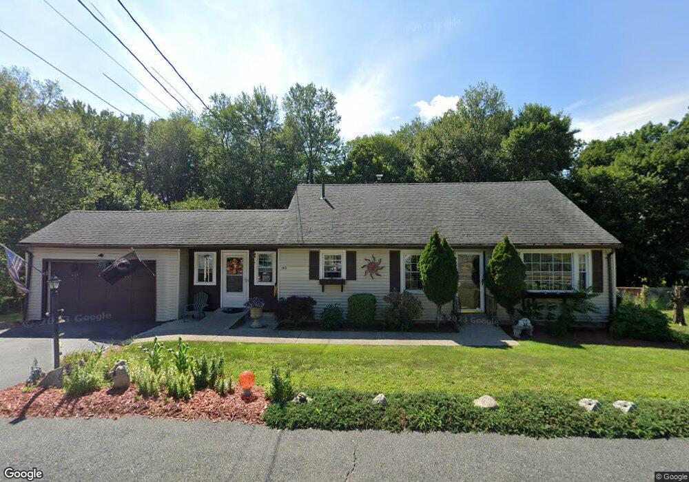
143 Boylston St Shrewsbury, MA 01545
Estimated Value: $479,000 - $534,461
3
Beds
2
Baths
1,008
Sq Ft
$508/Sq Ft
Est. Value
About This Home
This home is located at 143 Boylston St, Shrewsbury, MA 01545 and is currently estimated at $511,615, approximately $507 per square foot. 143 Boylston St is a home located in Worcester County with nearby schools including Spring Street Elementary School, Sherwood Middle School, and Oak Middle School.
Ownership History
Date
Name
Owned For
Owner Type
Purchase Details
Closed on
Oct 20, 2006
Sold by
Conroy Brian R
Bought by
Milan Debra and Mccarthy Rita
Current Estimated Value
Home Financials for this Owner
Home Financials are based on the most recent Mortgage that was taken out on this home.
Original Mortgage
$301,500
Outstanding Balance
$180,209
Interest Rate
6.49%
Mortgage Type
Purchase Money Mortgage
Estimated Equity
$331,406
Purchase Details
Closed on
Dec 22, 1999
Sold by
Tavares Joao and Tavares Maria F
Bought by
Conroy Brian R and Conroy Margaret A
Purchase Details
Closed on
May 5, 1995
Sold by
Tirado Evelyne Est
Bought by
Tavares Joao and Tavares Maria
Create a Home Valuation Report for This Property
The Home Valuation Report is an in-depth analysis detailing your home's value as well as a comparison with similar homes in the area
Home Values in the Area
Average Home Value in this Area
Purchase History
| Date | Buyer | Sale Price | Title Company |
|---|---|---|---|
| Milan Debra | $335,000 | -- | |
| Milan Debra | $335,000 | -- | |
| Milan Debra | $335,000 | -- | |
| Conroy Brian R | $157,000 | -- | |
| Conroy Brian R | $157,000 | -- | |
| Tavares Joao | $99,500 | -- | |
| Tavares Joao | $99,500 | -- |
Source: Public Records
Mortgage History
| Date | Status | Borrower | Loan Amount |
|---|---|---|---|
| Open | Milan Debra | $301,500 | |
| Closed | Milan Debra | $301,500 |
Source: Public Records
Tax History Compared to Growth
Tax History
| Year | Tax Paid | Tax Assessment Tax Assessment Total Assessment is a certain percentage of the fair market value that is determined by local assessors to be the total taxable value of land and additions on the property. | Land | Improvement |
|---|---|---|---|---|
| 2025 | $55 | $459,300 | $233,300 | $226,000 |
| 2024 | $4,906 | $396,300 | $222,200 | $174,100 |
| 2023 | $4,906 | $373,900 | $222,200 | $151,700 |
| 2022 | $4,584 | $324,900 | $193,200 | $131,700 |
| 2021 | $3,985 | $302,100 | $179,700 | $122,400 |
| 2020 | $3,849 | $308,700 | $193,200 | $115,500 |
| 2019 | $3,525 | $280,400 | $165,700 | $114,700 |
| 2018 | $3,175 | $250,800 | $150,500 | $100,300 |
| 2017 | $3,037 | $236,700 | $136,400 | $100,300 |
| 2016 | $2,993 | $230,200 | $127,400 | $102,800 |
| 2015 | $2,856 | $216,400 | $108,600 | $107,800 |
Source: Public Records
Map
Nearby Homes
- 3 Merriam Ave
- 251 Boylston St Unit 253
- 11 Adin Dr
- 2 Applewood Cir
- 7 Holman Heights Cir
- 17 Wilder Rd
- 34 Gates Rd
- 20 Browning Rd
- 515 Main St
- 647 Main St
- 19 Grafton St
- 7 Wesleyan St
- 46-50 Wesleyan St
- 148 Spring St
- 5 Highland Hill Dr
- 29 Elma Cir
- 20 Rawson Hill Dr
- 10 Karen Ave
- 11 Cranbrook Rd
- Lot 11 High St
- 145 Boylston St
- 139 Boylston St
- 140 Boylston St
- 147 Boylston St
- 137 Boylston St
- 148 Boylston St
- 146 Boylston St
- 149 Boylston St
- 135 Boylston St
- 136 Boylston St
- 138 Boylston St
- 78 Boylston Cir
- 64 Boylston Cir
- 151 Boylston St
- 2 Gulf St
- 150 Boylston St
- 82 Boylston Cir
- 129 Boylston St
- 1 Gulf St
- Lot 2 Gulf St