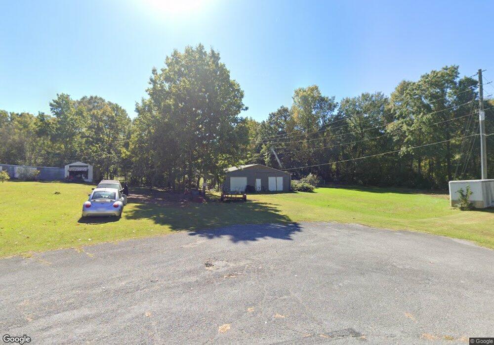
143 Carroll Cir Carrollton, GA 30117
Estimated Value: $227,666 - $278,000
3
Beds
2
Baths
1,476
Sq Ft
$175/Sq Ft
Est. Value
About This Home
This home is located at 143 Carroll Cir, Carrollton, GA 30117 and is currently estimated at $258,167, approximately $174 per square foot. 143 Carroll Cir is a home located in Carroll County with nearby schools including Carrollton Elementary School, Carrollton Upper Elementary School, and Carrollton Middle School.
Ownership History
Date
Name
Owned For
Owner Type
Purchase Details
Closed on
Dec 5, 2006
Sold by
Woods Billy W
Bought by
Woods Grace E
Current Estimated Value
Purchase Details
Closed on
Nov 1, 1989
Sold by
Cobb Jeff D and Carroll Fannie M
Bought by
Woods Billy W and Woods Grace E
Purchase Details
Closed on
Oct 1, 1988
Sold by
Cobb Jeff D
Bought by
Cobb Jeff D and Carroll Fannie M
Purchase Details
Closed on
Sep 1, 1986
Sold by
Roark Mannie and Roark Ruby
Bought by
Cobb Jeff D
Purchase Details
Closed on
Nov 1, 1983
Sold by
Lanxton William K
Bought by
Roark Mannie and Roark Ruby
Purchase Details
Closed on
Nov 25, 1972
Sold by
Dixie Hill Ent
Bought by
Lanxton William K
Create a Home Valuation Report for This Property
The Home Valuation Report is an in-depth analysis detailing your home's value as well as a comparison with similar homes in the area
Home Values in the Area
Average Home Value in this Area
Purchase History
| Date | Buyer | Sale Price | Title Company |
|---|---|---|---|
| Woods Grace E | -- | -- | |
| Woods Billy W | -- | -- | |
| Cobb Jeff D | -- | -- | |
| Cobb Jeff D | $61,000 | -- | |
| Roark Mannie | $52,500 | -- | |
| Lanxton William K | $25,500 | -- |
Source: Public Records
Tax History Compared to Growth
Tax History
| Year | Tax Paid | Tax Assessment Tax Assessment Total Assessment is a certain percentage of the fair market value that is determined by local assessors to be the total taxable value of land and additions on the property. | Land | Improvement |
|---|---|---|---|---|
| 2024 | $603 | $91,375 | $10,500 | $80,875 |
| 2023 | $586 | $84,952 | $10,500 | $74,452 |
| 2022 | $581 | $70,256 | $10,500 | $59,756 |
| 2021 | $548 | $62,891 | $10,500 | $52,391 |
| 2020 | $521 | $56,581 | $10,500 | $46,081 |
| 2019 | $522 | $53,779 | $10,500 | $43,279 |
| 2018 | $1,511 | $50,498 | $10,500 | $39,998 |
| 2017 | $440 | $56,286 | $18,000 | $38,286 |
| 2016 | $442 | $56,286 | $18,000 | $38,286 |
| 2015 | $296 | $31,530 | $6,800 | $24,730 |
| 2014 | $298 | $31,530 | $6,800 | $24,730 |
Source: Public Records
Map
Nearby Homes
- 0 Carroll Cir Unit LOTS 4-8 10571562
- 403 Burns Rd
- 150 Cedar Park Way
- 0 Burns Rd Unit LOT 2 10571612
- 0 Burns Rd Unit LOT 3 10571635
- 0 Burns Rd Unit LOT 1 10571595
- 0 Burns Rd Unit 148013
- 204 Burns Rd
- 0 Carroll Cir- Lots 4-8 Unit 148012
- 3 Burns Rd
- 2 Burns Rd
- 114 Green Point Way
- 223 N Lakeshore Dr
- 231 N Lakeshore Dr
- 325 Almon Rd
- 119 Oxford Square
- 8 Horsley Mill Rd
- 123 Autumn Glen Dr
- 9 Horsley Mill Rd
- 208 Lane Dr
- 145 Carroll Cir
- 115 Leigh Ln
- 113 Leigh Ln
- 147 Carroll Cir
- 136 Carroll Cir
- 111 Leigh Ln
- 144 Carroll Cir
- 137 Carroll Cir
- 137 Carroll Cir
- 149 Carroll Cir
- 146 Carroll Cir Unit 6
- 146 Carroll Cir
- 134 Carroll Cir
- 109 Leigh Ln
- 131 Carroll Cir
- 135 Carroll Cir
- 112 Leigh Ln
- 114 Leigh Ln
- 148 Carroll Cir
- 116 Leigh Ln