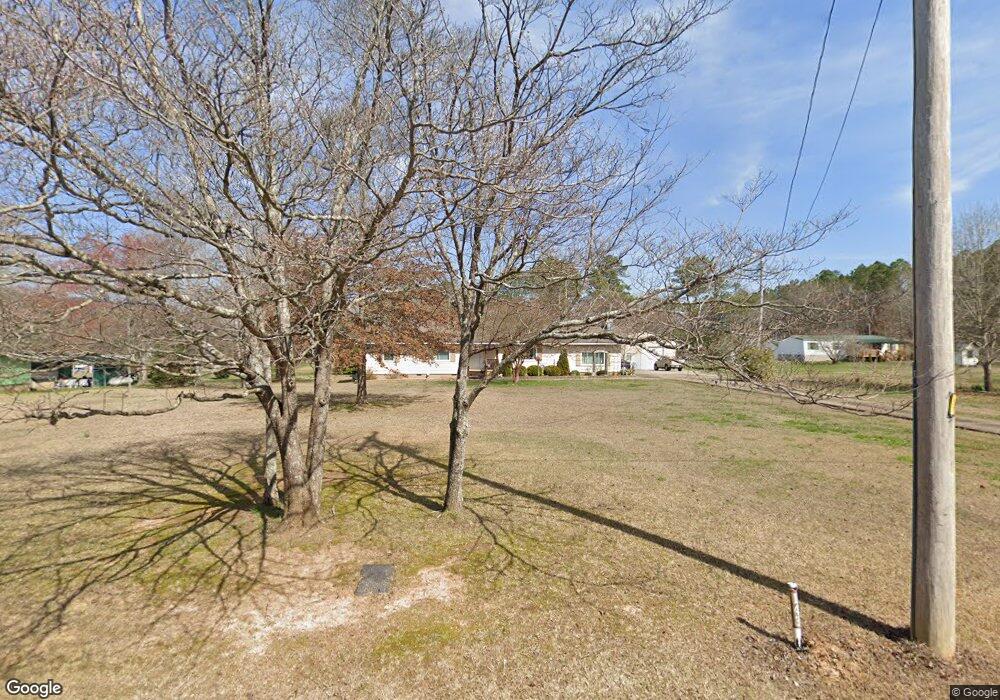
143 Cooper Rd Rock Spring, GA 30739
Rock Spring NeighborhoodEstimated Value: $222,799 - $411,000
Studio
1
Bath
2,032
Sq Ft
$151/Sq Ft
Est. Value
About This Home
This home is located at 143 Cooper Rd, Rock Spring, GA 30739 and is currently estimated at $307,450, approximately $151 per square foot. 143 Cooper Rd is a home located in Walker County with nearby schools including Rock Spring Elementary School and Lafayette High School.
Ownership History
Date
Name
Owned For
Owner Type
Purchase Details
Closed on
Jun 14, 2013
Sold by
Atchely Lawrence A
Bought by
Atchley Lawrence A and Atchely Nancy Ann
Current Estimated Value
Purchase Details
Closed on
Sep 19, 1994
Sold by
Collins Jimmy W and Collins Judy
Bought by
Atchley Lawrence A and Atchley Nancy
Purchase Details
Closed on
Jan 1, 1972
Bought by
Collins Jimmy W and Collins Judy
Create a Home Valuation Report for This Property
The Home Valuation Report is an in-depth analysis detailing your home's value as well as a comparison with similar homes in the area
Home Values in the Area
Average Home Value in this Area
Purchase History
| Date | Buyer | Sale Price | Title Company |
|---|---|---|---|
| Atchley Lawrence A | -- | -- | |
| Atchley Lawrence A | $20,200 | -- | |
| Collins Jimmy W | -- | -- |
Source: Public Records
Tax History
| Year | Tax Paid | Tax Assessment Tax Assessment Total Assessment is a certain percentage of the fair market value that is determined by local assessors to be the total taxable value of land and additions on the property. | Land | Improvement |
|---|---|---|---|---|
| 2024 | $659 | $84,968 | $11,029 | $73,939 |
| 2023 | $563 | $78,548 | $8,753 | $69,795 |
| 2022 | $316 | $66,808 | $7,492 | $59,316 |
| 2021 | $205 | $54,347 | $7,492 | $46,855 |
| 2020 | $205 | $42,892 | $7,492 | $35,400 |
| 2019 | $206 | $42,892 | $7,492 | $35,400 |
| 2018 | $1,135 | $42,892 | $7,492 | $35,400 |
| 2017 | $132 | $42,892 | $7,492 | $35,400 |
| 2016 | $132 | $42,892 | $7,492 | $35,400 |
| 2015 | $132 | $40,109 | $13,100 | $27,009 |
| 2014 | $67 | $40,109 | $13,100 | $27,009 |
| 2013 | $1,135 | $40,108 | $13,100 | $27,008 |
Source: Public Records
Map
Nearby Homes
- 223 Cooper Rd
- 285 Cooper Rd
- 36 Pheonix Cir
- 59 Honeysuckle Dr
- 195 Honeysuckle Dr
- 42 Hope Dr
- 788 Long Hollow Rd
- 1121 Arnold Rd
- 1902 Long Hollow Rd
- 87 Peavine Rd
- 1909 Old Lafayette Rd
- 379 N Beaumont Rd
- 453 Harvest Ln
- 00 Georgia 95
- 918 Old Lafayette Rd
- 200 Hunting Ridge Cir
- 1003 Highway N Old 27
- 3774 Mount Pisgah Rd
- 140 Fieldstone Commons
- 190 Vaughn Dr
- 117 Cooper Rd
- 183 Cooper Rd
- 55 Holt Rd
- 61 Windy Oak Dr
- 73 Windy Oak Dr
- 81 Cooper Rd
- 97 Windy Oak Dr
- 213 Cooper Rd
- 55 Windy Oak Dr
- 1913 Peavine Rd
- 84 Cooper Rd
- 1877 Peavine Rd
- 1959 Peavine Rd
- 103 Windy Oak Dr
- 48 W Acorn West Dr W
- 48 W Acorn Dr
- 48 Acorn West Dr W
- 1921 Peavine Rd
- 1985 Peavine Rd
- 46 W Acorn Dr
Your Personal Tour Guide
Ask me questions while you tour the home.