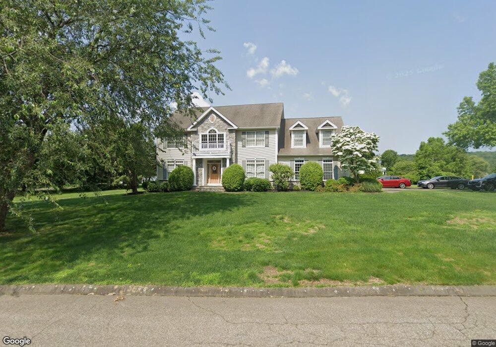
143 Coram Ln Orange, CT 06477
Estimated Value: $897,000 - $1,159,000
4
Beds
3
Baths
3,506
Sq Ft
$285/Sq Ft
Est. Value
About This Home
This home is located at 143 Coram Ln, Orange, CT 06477 and is currently estimated at $998,255, approximately $284 per square foot. 143 Coram Ln is a home located in New Haven County with nearby schools including Mary L. Tracy School, Turkey Hill School, and Amity Middle School: Orange.
Ownership History
Date
Name
Owned For
Owner Type
Purchase Details
Closed on
Jun 19, 2025
Sold by
Rinaldi Rosa M
Bought by
Rinaldi Rosa M and Crow David E
Current Estimated Value
Purchase Details
Closed on
Jul 1, 2003
Sold by
River Golf Ests Llc
Bought by
Tomena Franciska M and Tomena Joseph
Home Financials for this Owner
Home Financials are based on the most recent Mortgage that was taken out on this home.
Original Mortgage
$464,000
Interest Rate
5.53%
Create a Home Valuation Report for This Property
The Home Valuation Report is an in-depth analysis detailing your home's value as well as a comparison with similar homes in the area
Home Values in the Area
Average Home Value in this Area
Purchase History
| Date | Buyer | Sale Price | Title Company |
|---|---|---|---|
| Rinaldi Rosa M | -- | None Available | |
| Rinaldi Rosa M | -- | None Available | |
| Tomena Franciska M | $587,081 | -- | |
| Tomena Franciska M | $587,081 | -- |
Source: Public Records
Mortgage History
| Date | Status | Borrower | Loan Amount |
|---|---|---|---|
| Previous Owner | Tomena Franciska M | $464,000 |
Source: Public Records
Tax History Compared to Growth
Tax History
| Year | Tax Paid | Tax Assessment Tax Assessment Total Assessment is a certain percentage of the fair market value that is determined by local assessors to be the total taxable value of land and additions on the property. | Land | Improvement |
|---|---|---|---|---|
| 2025 | $17,090 | $587,300 | $192,500 | $394,800 |
| 2024 | $18,206 | $587,300 | $192,500 | $394,800 |
| 2023 | $15,405 | $476,800 | $179,600 | $297,200 |
| 2022 | $15,596 | $476,800 | $179,600 | $297,200 |
| 2021 | $15,854 | $476,800 | $179,600 | $297,200 |
| 2020 | $15,610 | $476,800 | $179,600 | $297,200 |
| 2019 | $15,539 | $476,800 | $179,600 | $297,200 |
| 2018 | $15,258 | $476,800 | $179,600 | $297,200 |
| 2017 | $14,923 | $448,400 | $177,900 | $270,500 |
| 2016 | $14,438 | $448,400 | $177,900 | $270,500 |
| 2015 | $14,080 | $448,400 | $177,900 | $270,500 |
| 2014 | $13,676 | $448,400 | $177,900 | $270,500 |
Source: Public Records
Map
Nearby Homes
- 183 Centennial Dr
- 164 Centennial Dr
- 665 River Rd Unit 11
- 32 Autumn Ridge Rd
- 918 Wheelers Farms Rd
- 88 Rocky Rest Rd
- 444 Asbury Ridge
- 524 Asbury Ridge Unit 524
- 18 Ashwood Cir
- 22 Ashwood Cir Unit 22
- 74 Victory St
- 10 Oronoque Trail
- 249 Coram Rd
- 35 Mustang Dr
- 36 Rivendell Dr
- 26 Bunker Hill Cir
- 35 Saginaw Trail
- 8 Algonkin Rd Unit A
- 11 Pueblo Trail
- 6 5th Ave
- 119 Coram Ln
- 34 Saint Andrews Ln
- 141 Coram Ln
- 118 Coram Ln
- 120 Coram Ln
- 30 Saint Andrews Ln
- 40 Saint Andrews Ln
- 115 Coram Ln
- 48 Saint Andrews Ln
- 440 Skyline Dr
- 22 Saint Andrews Ln
- 122 Coram Ln
- 136 Coram Ln
- 58 Saint Andrews Ln
- 25 Saint Andrews Ln
- 39 Saint Andrews Ln
- 490 Cart Ln
- 139 Coram Ln
- 94 Coram Ln
- 14 Saint Andrews Ln