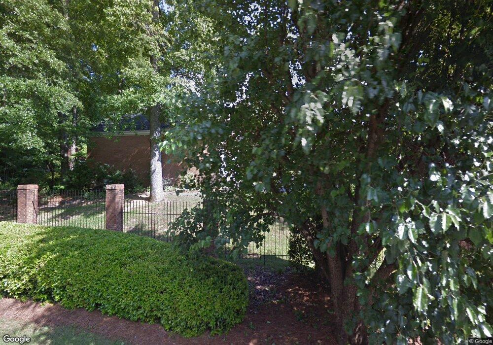
143 Covington Place Macon, GA 31210
Estimated Value: $477,045 - $527,000
3
Beds
4
Baths
2,916
Sq Ft
$169/Sq Ft
Est. Value
About This Home
This home is located at 143 Covington Place, Macon, GA 31210 and is currently estimated at $492,511, approximately $168 per square foot. 143 Covington Place is a home located in Bibb County with nearby schools including Carter Elementary School, Howard Middle School, and Howard High School.
Ownership History
Date
Name
Owned For
Owner Type
Purchase Details
Closed on
Aug 8, 2017
Sold by
Ottley Jones Mary Clifton
Bought by
Ferro Jacob J and Ferro Michelle L
Current Estimated Value
Purchase Details
Closed on
Oct 20, 1983
Sold by
Covington Sq Ventures
Bought by
Ottley Margaret A -
Create a Home Valuation Report for This Property
The Home Valuation Report is an in-depth analysis detailing your home's value as well as a comparison with similar homes in the area
Home Values in the Area
Average Home Value in this Area
Purchase History
| Date | Buyer | Sale Price | Title Company |
|---|---|---|---|
| Ferro Jacob J | $225,000 | None Available | |
| Ottley Margaret A - | $147,000 | -- |
Source: Public Records
Tax History Compared to Growth
Tax History
| Year | Tax Paid | Tax Assessment Tax Assessment Total Assessment is a certain percentage of the fair market value that is determined by local assessors to be the total taxable value of land and additions on the property. | Land | Improvement |
|---|---|---|---|---|
| 2025 | $3,903 | $158,841 | $28,000 | $130,841 |
| 2024 | $4,034 | $158,841 | $28,000 | $130,841 |
| 2023 | $4,258 | $143,744 | $28,000 | $115,744 |
| 2022 | $4,778 | $138,003 | $27,000 | $111,003 |
| 2021 | $4,980 | $131,065 | $27,000 | $104,065 |
| 2020 | $4,239 | $131,065 | $27,000 | $104,065 |
| 2019 | $4,097 | $115,598 | $24,300 | $91,298 |
| 2018 | $5,575 | $111,468 | $24,300 | $87,168 |
| 2017 | $4,494 | $119,936 | $24,300 | $95,636 |
| 2016 | $4,149 | $119,936 | $24,300 | $95,636 |
| 2015 | $5,438 | $111,052 | $22,500 | $88,552 |
| 2014 | $5,447 | $111,052 | $22,500 | $88,552 |
Source: Public Records
Map
Nearby Homes
- 142 Covington Place
- 144 Covington Place
- 141 Covington Place
- 145 Covington Place
- 140 Covington Place
- 146 Covington Place Unit 5
- 147 Covington Place
- 139 Covington Place
- 148 Covington Place
- 149 Covington Place
- 138 Covington Place
- 138 Covington Place Unit 13
- 150 Covington Place
- 135 Covington Place
- 100 Covington Dr
- 105 Covington Dr
- 101 Covington Dr
- 4992 Covington Dr
- 136 Covington Place
- 134 Covington Place