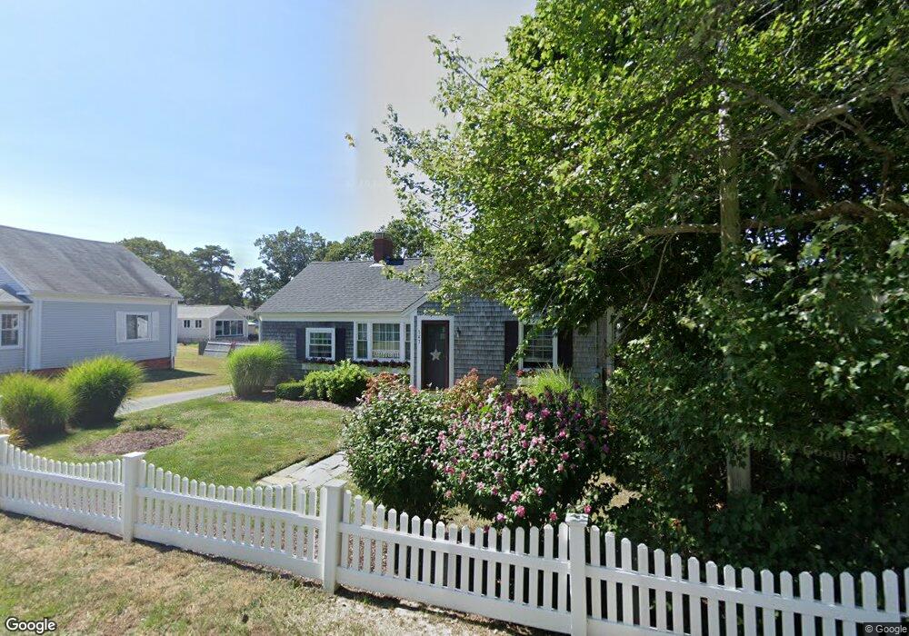
143 Depot St Unit A Dennis Port, MA 02639
Dennis Port NeighborhoodEstimated Value: $454,000 - $514,000
2
Beds
1
Bath
632
Sq Ft
$769/Sq Ft
Est. Value
About This Home
This home is located at 143 Depot St Unit A, Dennis Port, MA 02639 and is currently estimated at $485,830, approximately $768 per square foot. 143 Depot St Unit A is a home located in Barnstable County with nearby schools including Dennis-Yarmouth Regional High School and St. Pius X. School.
Ownership History
Date
Name
Owned For
Owner Type
Purchase Details
Closed on
Jun 21, 2019
Sold by
Kroll Randall A and Kroll Merrilyn B
Bought by
Greeley Ann M
Current Estimated Value
Purchase Details
Closed on
Oct 1, 2014
Sold by
Kroll Randall A
Bought by
Kroll Randall A and Kroll Merrilyn B
Purchase Details
Closed on
Apr 8, 2003
Sold by
Benedetti Ft
Bought by
Kroll Randall A
Home Financials for this Owner
Home Financials are based on the most recent Mortgage that was taken out on this home.
Original Mortgage
$100,000
Interest Rate
5.88%
Mortgage Type
Purchase Money Mortgage
Create a Home Valuation Report for This Property
The Home Valuation Report is an in-depth analysis detailing your home's value as well as a comparison with similar homes in the area
Home Values in the Area
Average Home Value in this Area
Purchase History
| Date | Buyer | Sale Price | Title Company |
|---|---|---|---|
| Greeley Ann M | $281,000 | -- | |
| Greeley Ann M | $281,000 | -- | |
| Kroll Randall A | -- | -- | |
| Kroll Randall A | -- | -- | |
| Kroll Randall A | $159,000 | -- | |
| Kroll Randall A | $159,000 | -- |
Source: Public Records
Mortgage History
| Date | Status | Borrower | Loan Amount |
|---|---|---|---|
| Previous Owner | Kroll Randall A | $100,000 |
Source: Public Records
Tax History Compared to Growth
Tax History
| Year | Tax Paid | Tax Assessment Tax Assessment Total Assessment is a certain percentage of the fair market value that is determined by local assessors to be the total taxable value of land and additions on the property. | Land | Improvement |
|---|---|---|---|---|
| 2025 | $2,157 | $498,200 | $0 | $498,200 |
| 2024 | $1,860 | $423,700 | $0 | $423,700 |
| 2023 | $1,625 | $348,000 | $0 | $348,000 |
| 2022 | $1,575 | $281,200 | $0 | $281,200 |
| 2021 | $1,530 | $253,700 | $0 | $253,700 |
| 2020 | $1,495 | $245,100 | $0 | $245,100 |
| 2019 | $1,445 | $234,200 | $0 | $234,200 |
| 2018 | $1,417 | $223,500 | $0 | $223,500 |
| 2017 | $1,482 | $241,000 | $0 | $241,000 |
| 2016 | $1,090 | $166,900 | $0 | $166,900 |
| 2015 | $1,068 | $166,900 | $0 | $166,900 |
| 2014 | $911 | $143,400 | $0 | $143,400 |
Source: Public Records
Map
Nearby Homes
- 12 Cross St
- 159 Center St Unit 22
- 26 Manning Rd
- 12 Candlewood Ln Unit 2-9
- 221 Upper County Rd Unit 2A
- 221 Upper County Rd Unit 2A
- 73 Division St
- 9 Country Ln
- 47 Telegraph Rd Unit 1
- 166 Upper County Rd Unit 1-4
- 102 Sea St
- 148 Belmont Rd
- 72 Bassett Ln
- 141 Division St
- 268 Main St
- 141 Division St
- 22 Ferncliff Rd
- 11 Ocean Park W
- 402 Old Wharf Rd
- 143 Depot St Unit Q
- 143 Depot St Unit N
- 143 Depot St Unit M
- 143 Depot St Unit L
- 143 Depot St Unit K
- 143 Depot St Unit J
- 143 Depot St Unit H
- 143 Depot St Unit G
- 143 Depot St Unit E
- 143 Depot St Unit D
- 143 Depot St Unit C
- 143 Depot St Unit U-A
- 143 Depot St Unit F
- 143 Depot St
- 228 Sea St
- 117 Center St
- 228 Sea St
- 230 Sea St
- 123 Center St
- 123 Center St Unit A