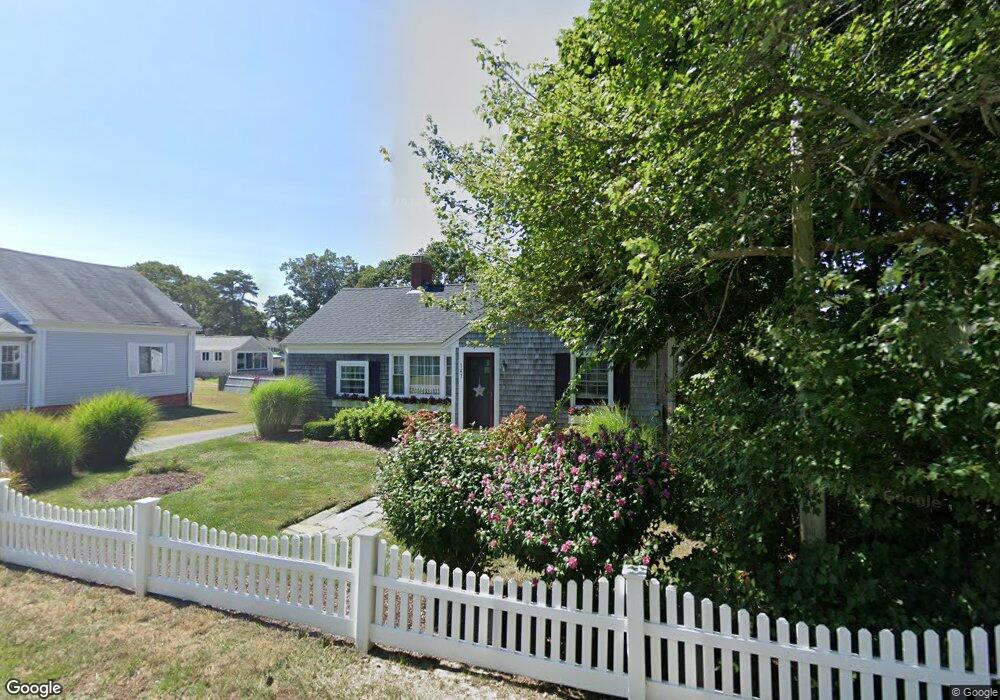
143 Depot St Unit D Dennis Port, MA 02639
Dennis Port NeighborhoodEstimated Value: $376,417 - $398,000
2
Beds
1
Bath
496
Sq Ft
$778/Sq Ft
Est. Value
About This Home
This home is located at 143 Depot St Unit D, Dennis Port, MA 02639 and is currently estimated at $386,104, approximately $778 per square foot. 143 Depot St Unit D is a home located in Barnstable County with nearby schools including Dennis-Yarmouth Regional High School and St. Pius X. School.
Ownership History
Date
Name
Owned For
Owner Type
Purchase Details
Closed on
Jul 30, 2019
Sold by
Karantonis Anthony V and Karantonis Karen M
Bought by
Karatonis Ret and Karantonis
Current Estimated Value
Purchase Details
Closed on
Mar 28, 2003
Sold by
Bendetti Ft
Bought by
Karantonis Anthony and Karantonis Karen M
Home Financials for this Owner
Home Financials are based on the most recent Mortgage that was taken out on this home.
Original Mortgage
$123,675
Interest Rate
5.91%
Mortgage Type
Purchase Money Mortgage
Create a Home Valuation Report for This Property
The Home Valuation Report is an in-depth analysis detailing your home's value as well as a comparison with similar homes in the area
Home Values in the Area
Average Home Value in this Area
Purchase History
| Date | Buyer | Sale Price | Title Company |
|---|---|---|---|
| Karatonis Ret | -- | -- | |
| Karatonis Ret | -- | -- | |
| Karantonis Anthony | $164,900 | -- | |
| Karantonis Anthony | $164,900 | -- |
Source: Public Records
Mortgage History
| Date | Status | Borrower | Loan Amount |
|---|---|---|---|
| Previous Owner | Karantonis Anthony | $123,675 |
Source: Public Records
Tax History Compared to Growth
Tax History
| Year | Tax Paid | Tax Assessment Tax Assessment Total Assessment is a certain percentage of the fair market value that is determined by local assessors to be the total taxable value of land and additions on the property. | Land | Improvement |
|---|---|---|---|---|
| 2025 | $1,545 | $356,900 | $0 | $356,900 |
| 2024 | $1,457 | $332,000 | $0 | $332,000 |
| 2023 | $1,271 | $272,100 | $0 | $272,100 |
| 2022 | $1,229 | $219,500 | $0 | $219,500 |
| 2021 | $1,192 | $197,700 | $0 | $197,700 |
| 2020 | $1,171 | $192,000 | $0 | $192,000 |
| 2019 | $1,167 | $189,100 | $0 | $189,100 |
| 2018 | $1,143 | $180,300 | $0 | $180,300 |
| 2017 | $1,107 | $180,000 | $0 | $180,000 |
| 2016 | $774 | $118,500 | $0 | $118,500 |
| 2015 | $758 | $118,500 | $0 | $118,500 |
| 2014 | $627 | $98,800 | $0 | $98,800 |
Source: Public Records
Map
Nearby Homes
- 12 Cross St
- 159 Center St Unit 22
- 26 Manning Rd
- 12 Candlewood Ln Unit 2-9
- 221 Upper County Rd Unit 2A
- 221 Upper County Rd Unit 2A
- 73 Division St
- 9 Country Ln
- 47 Telegraph Rd Unit 1
- 166 Upper County Rd Unit 1-4
- 102 Sea St
- 148 Belmont Rd
- 72 Bassett Ln
- 141 Division St
- 268 Main St
- 141 Division St
- 22 Ferncliff Rd
- 11 Ocean Park W
- 402 Old Wharf Rd
- 143 Depot St Unit Q
- 143 Depot St Unit N
- 143 Depot St Unit M
- 143 Depot St Unit L
- 143 Depot St Unit K
- 143 Depot St Unit J
- 143 Depot St Unit H
- 143 Depot St Unit G
- 143 Depot St Unit E
- 143 Depot St Unit C
- 143 Depot St Unit A
- 143 Depot St Unit U-A
- 143 Depot St Unit F
- 143 Depot St
- 228 Sea St
- 117 Center St
- 228 Sea St
- 230 Sea St
- 123 Center St
- 123 Center St Unit A