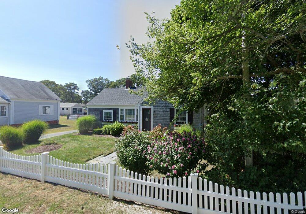
143 Depot St Unit L Dennis Port, MA 02639
Dennis Port NeighborhoodEstimated Value: $309,452 - $363,000
1
Bed
1
Bath
400
Sq Ft
$837/Sq Ft
Est. Value
About This Home
This home is located at 143 Depot St Unit L, Dennis Port, MA 02639 and is currently estimated at $334,863, approximately $837 per square foot. 143 Depot St Unit L is a home located in Barnstable County with nearby schools including Dennis-Yarmouth Regional High School and St. Pius X. School.
Ownership History
Date
Name
Owned For
Owner Type
Purchase Details
Closed on
Aug 22, 2013
Sold by
Keene Milton E and Keene Linda
Bought by
Brewer Sonja M
Current Estimated Value
Purchase Details
Closed on
Aug 2, 2006
Sold by
Redding Michael D and Redding Nicole M
Bought by
Keene Linda and Keene Milton E
Purchase Details
Closed on
May 20, 2005
Sold by
Jones Mark D and Jones Sharon L
Bought by
Redding Michael D and Redding Nicole M
Home Financials for this Owner
Home Financials are based on the most recent Mortgage that was taken out on this home.
Original Mortgage
$140,950
Interest Rate
5.95%
Mortgage Type
Purchase Money Mortgage
Create a Home Valuation Report for This Property
The Home Valuation Report is an in-depth analysis detailing your home's value as well as a comparison with similar homes in the area
Home Values in the Area
Average Home Value in this Area
Purchase History
| Date | Buyer | Sale Price | Title Company |
|---|---|---|---|
| Brewer Sonja M | $175,000 | -- | |
| Brewer Sonja M | $175,000 | -- | |
| Keene Linda | $182,000 | -- | |
| Keene Linda | $182,000 | -- | |
| Redding Michael D | $176,200 | -- | |
| Redding Michael D | $176,200 | -- |
Source: Public Records
Mortgage History
| Date | Status | Borrower | Loan Amount |
|---|---|---|---|
| Previous Owner | Redding Michael D | $140,950 |
Source: Public Records
Tax History Compared to Growth
Tax History
| Year | Tax Paid | Tax Assessment Tax Assessment Total Assessment is a certain percentage of the fair market value that is determined by local assessors to be the total taxable value of land and additions on the property. | Land | Improvement |
|---|---|---|---|---|
| 2025 | $1,425 | $329,000 | $0 | $329,000 |
| 2024 | $1,342 | $305,800 | $0 | $305,800 |
| 2023 | $1,172 | $250,900 | $0 | $250,900 |
| 2022 | $1,133 | $202,400 | $0 | $202,400 |
| 2021 | $1,100 | $182,400 | $0 | $182,400 |
| 2020 | $1,081 | $177,200 | $0 | $177,200 |
| 2019 | $1,075 | $174,200 | $0 | $174,200 |
| 2018 | $1,042 | $164,400 | $0 | $164,400 |
| 2017 | $1,000 | $162,600 | $0 | $162,600 |
| 2016 | $704 | $107,800 | $0 | $107,800 |
| 2015 | $690 | $107,800 | $0 | $107,800 |
| 2014 | $573 | $90,200 | $0 | $90,200 |
Source: Public Records
Map
Nearby Homes
- 12 Cross St
- 159 Center St Unit 22
- 26 Manning Rd
- 12 Candlewood Ln Unit 2-9
- 221 Upper County Rd Unit 2A
- 221 Upper County Rd Unit 2A
- 73 Division St
- 9 Country Ln
- 47 Telegraph Rd Unit 1
- 166 Upper County Rd Unit 1-4
- 102 Sea St
- 148 Belmont Rd
- 72 Bassett Ln
- 141 Division St
- 268 Main St
- 141 Division St
- 22 Ferncliff Rd
- 11 Ocean Park W
- 402 Old Wharf Rd
- 143 Depot St Unit Q
- 143 Depot St Unit N
- 143 Depot St Unit M
- 143 Depot St Unit K
- 143 Depot St Unit J
- 143 Depot St Unit H
- 143 Depot St Unit G
- 143 Depot St Unit E
- 143 Depot St Unit D
- 143 Depot St Unit C
- 143 Depot St Unit A
- 143 Depot St Unit U-A
- 143 Depot St Unit F
- 143 Depot St
- 228 Sea St
- 117 Center St
- 228 Sea St
- 230 Sea St
- 123 Center St
- 123 Center St Unit A