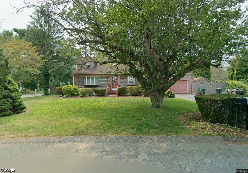
143 Dwight Rd Marshfield, MA 02050
Estimated Value: $791,000 - $832,000
3
Beds
2
Baths
1,548
Sq Ft
$524/Sq Ft
Est. Value
About This Home
This home is located at 143 Dwight Rd, Marshfield, MA 02050 and is currently estimated at $810,709, approximately $523 per square foot. 143 Dwight Rd is a home located in Plymouth County with nearby schools including Eames Way School, Furnace Brook Middle School, and Marshfield High School.
Ownership History
Date
Name
Owned For
Owner Type
Purchase Details
Closed on
Apr 1, 2015
Sold by
Meehan Karen M and Meehan James S
Bought by
Meehan Karen M
Current Estimated Value
Purchase Details
Closed on
May 25, 1995
Sold by
Bailey John W
Bought by
Meehan James S and Meehan Karen M
Purchase Details
Closed on
Oct 26, 1987
Sold by
Bailey John W
Bought by
Bailey John W
Create a Home Valuation Report for This Property
The Home Valuation Report is an in-depth analysis detailing your home's value as well as a comparison with similar homes in the area
Home Values in the Area
Average Home Value in this Area
Purchase History
| Date | Buyer | Sale Price | Title Company |
|---|---|---|---|
| Meehan Karen M | -- | -- | |
| Meehan Karen M | -- | -- | |
| Meehan James S | $173,000 | -- | |
| Bailey John W | $30,000 | -- |
Source: Public Records
Mortgage History
| Date | Status | Borrower | Loan Amount |
|---|---|---|---|
| Previous Owner | Bailey John W | $30,000 | |
| Previous Owner | Bailey John W | $174,400 |
Source: Public Records
Tax History
| Year | Tax Paid | Tax Assessment Tax Assessment Total Assessment is a certain percentage of the fair market value that is determined by local assessors to be the total taxable value of land and additions on the property. | Land | Improvement |
|---|---|---|---|---|
| 2025 | $6,781 | $684,900 | $297,800 | $387,100 |
| 2024 | $6,636 | $638,700 | $283,600 | $355,100 |
| 2023 | $6,206 | $562,700 | $253,200 | $309,500 |
| 2022 | $6,206 | $479,200 | $212,700 | $266,500 |
| 2021 | $5,951 | $451,200 | $212,700 | $238,500 |
| 2020 | $5,744 | $430,900 | $192,400 | $238,500 |
| 2019 | $5,439 | $406,500 | $192,400 | $214,100 |
| 2018 | $5,299 | $396,300 | $192,400 | $203,900 |
| 2017 | $5,145 | $375,000 | $192,400 | $182,600 |
| 2016 | $5,093 | $366,900 | $192,400 | $174,500 |
| 2015 | $4,876 | $366,900 | $192,400 | $174,500 |
| 2014 | $4,751 | $357,500 | $192,400 | $165,100 |
Source: Public Records
Map
Nearby Homes
- 4 Summer St
- 3 Summer St
- 566 Holly Rd
- 255 Ridge Rd
- 1192 S River St
- 86 Telegraph Hill Rd
- 29 Spyglass Landing Dr
- 16 Schooner Way
- 10 Spyglass Landing Dr
- 39 High Beacon Way
- 55 Macombers Way
- 480 Pleasant St
- 1155 Main St
- 155 Quincy Ave
- 26 Damons Point Cir
- 889 Old Main Street Extension
- 14 Ferry St
- 60 Samuel Curtis Way
- 1 Valley Path
- 341 Furnace St
Your Personal Tour Guide
Ask me questions while you tour the home.