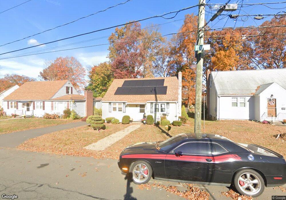
143 Elam St New Britain, CT 06053
Estimated Value: $246,000 - $281,000
4
Beds
2
Baths
1,296
Sq Ft
$204/Sq Ft
Est. Value
About This Home
This home is located at 143 Elam St, New Britain, CT 06053 and is currently estimated at $263,803, approximately $203 per square foot. 143 Elam St is a home located in Hartford County with nearby schools including Gaffney School and Slade Middle School.
Ownership History
Date
Name
Owned For
Owner Type
Purchase Details
Closed on
Apr 18, 1994
Sold by
Hosmer Carol and Hosmer Dean
Bought by
Phelan John and Phelan Patricia
Current Estimated Value
Purchase Details
Closed on
Mar 1, 1994
Sold by
Arvidson Carolyn
Bought by
Atkinson Todd and Atkinson Susan
Purchase Details
Closed on
Jul 30, 1993
Sold by
Commercial Credit Corp
Bought by
Donagher Sean M
Create a Home Valuation Report for This Property
The Home Valuation Report is an in-depth analysis detailing your home's value as well as a comparison with similar homes in the area
Home Values in the Area
Average Home Value in this Area
Purchase History
| Date | Buyer | Sale Price | Title Company |
|---|---|---|---|
| Phelan John | $285,000 | -- | |
| Atkinson Todd | $290,000 | -- | |
| Donagher Sean M | $63,000 | -- |
Source: Public Records
Mortgage History
| Date | Status | Borrower | Loan Amount |
|---|---|---|---|
| Open | Donagher Sean M | $20,000 | |
| Open | Donagher Sean M | $65,000 |
Source: Public Records
Tax History Compared to Growth
Tax History
| Year | Tax Paid | Tax Assessment Tax Assessment Total Assessment is a certain percentage of the fair market value that is determined by local assessors to be the total taxable value of land and additions on the property. | Land | Improvement |
|---|---|---|---|---|
| 2025 | $4,561 | $116,410 | $44,170 | $72,240 |
| 2024 | $4,609 | $116,410 | $44,170 | $72,240 |
| 2023 | $4,456 | $116,410 | $44,170 | $72,240 |
| 2022 | $4,082 | $82,460 | $20,370 | $62,090 |
| 2021 | $4,082 | $82,460 | $20,370 | $62,090 |
| 2020 | $4,164 | $82,460 | $20,370 | $62,090 |
| 2019 | $4,164 | $82,460 | $20,370 | $62,090 |
| 2018 | $4,164 | $82,460 | $20,370 | $62,090 |
| 2017 | $3,641 | $72,100 | $16,940 | $55,160 |
| 2016 | $3,641 | $72,100 | $16,940 | $55,160 |
| 2015 | $3,533 | $72,100 | $16,940 | $55,160 |
| 2014 | $3,533 | $72,100 | $16,940 | $55,160 |
Source: Public Records
Map
Nearby Homes
- 19 Maplehurst Ave
- 87 Pinehurst Ave
- 230 Hillhurst Ave
- 27 Candlewood Ln
- 95 Pierremount Ave
- 874 Slater Rd
- 1485 Corbin Ave
- 1467 Corbin Ave
- 42 Fairlane Dr
- 234 Pierremount Ave
- 152 Oakland Ave
- 108 Overhill Ave
- 8 Albany Ave
- 148 Governor St
- 25 Clinton St
- 59 Heather Ln
- 335 Broad St
- 115 Beechwood Dr
- 410 Farmington Ave Unit O6
- 23 Ledyard Rd