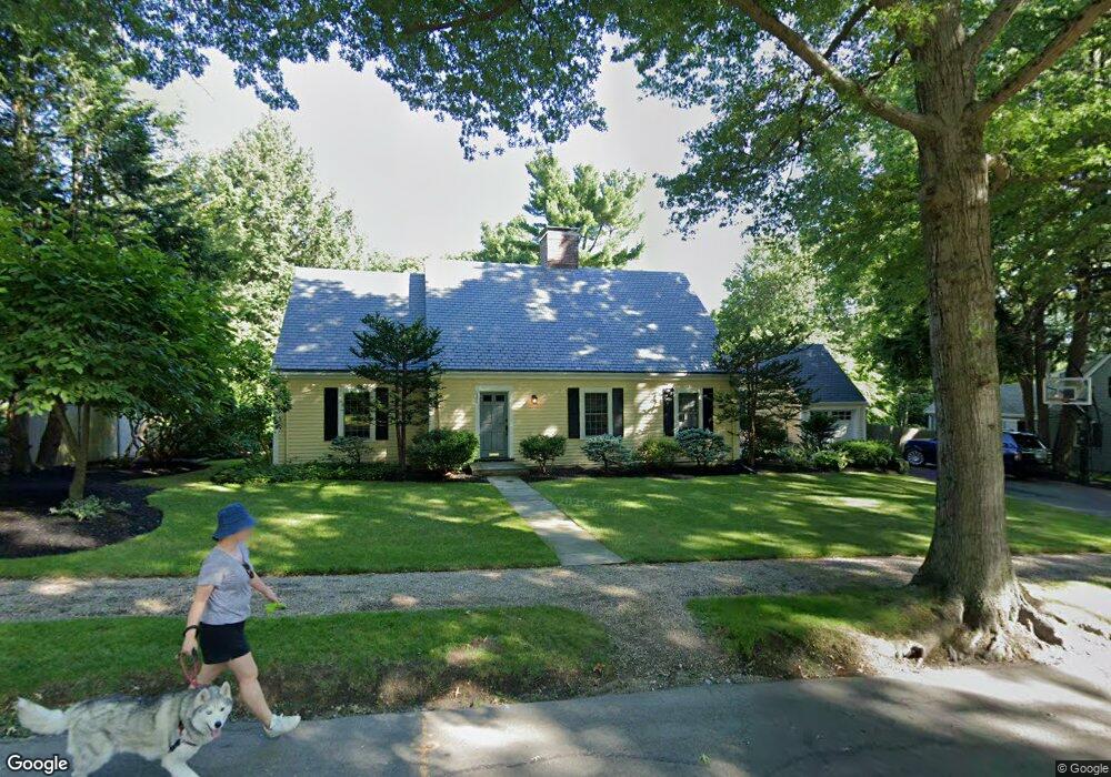
143 Fairway Rd Chestnut Hill, MA 02467
Chestnut Hill NeighborhoodEstimated Value: $1,911,000 - $3,158,000
3
Beds
2
Baths
1,939
Sq Ft
$1,240/Sq Ft
Est. Value
About This Home
This home is located at 143 Fairway Rd, Chestnut Hill, MA 02467 and is currently estimated at $2,404,832, approximately $1,240 per square foot. 143 Fairway Rd is a home located in Norfolk County with nearby schools including Heath Elementary School, Brimmer & May School, and The Chestnut Hill School.
Ownership History
Date
Name
Owned For
Owner Type
Purchase Details
Closed on
Jan 8, 2007
Sold by
Wyon Joan K and Kittredge Joan L
Bought by
Schroder Jeannine S and Schroder Richard M
Current Estimated Value
Home Financials for this Owner
Home Financials are based on the most recent Mortgage that was taken out on this home.
Original Mortgage
$417,000
Outstanding Balance
$249,614
Interest Rate
6.24%
Mortgage Type
Purchase Money Mortgage
Estimated Equity
$2,155,218
Create a Home Valuation Report for This Property
The Home Valuation Report is an in-depth analysis detailing your home's value as well as a comparison with similar homes in the area
Home Values in the Area
Average Home Value in this Area
Purchase History
| Date | Buyer | Sale Price | Title Company |
|---|---|---|---|
| Schroder Jeannine S | $960,000 | -- |
Source: Public Records
Mortgage History
| Date | Status | Borrower | Loan Amount |
|---|---|---|---|
| Open | Schroder Jeannine S | $417,000 | |
| Closed | Schroder Jeannine S | $100,000 |
Source: Public Records
Tax History Compared to Growth
Tax History
| Year | Tax Paid | Tax Assessment Tax Assessment Total Assessment is a certain percentage of the fair market value that is determined by local assessors to be the total taxable value of land and additions on the property. | Land | Improvement |
|---|---|---|---|---|
| 2025 | $25,484 | $2,582,000 | $1,355,100 | $1,226,900 |
| 2024 | $24,265 | $2,483,600 | $1,303,000 | $1,180,600 |
| 2023 | $21,920 | $2,198,600 | $1,070,000 | $1,128,600 |
| 2022 | $21,338 | $2,094,000 | $1,019,100 | $1,074,900 |
| 2021 | $19,731 | $2,013,400 | $979,900 | $1,033,500 |
| 2020 | $18,039 | $1,908,900 | $890,800 | $1,018,100 |
| 2019 | $17,035 | $1,818,000 | $848,400 | $969,600 |
| 2018 | $16,774 | $1,773,100 | $850,500 | $922,600 |
| 2017 | $12,767 | $1,292,200 | $802,500 | $489,700 |
| 2016 | $12,584 | $1,207,700 | $750,000 | $457,700 |
| 2015 | $12,055 | $1,128,700 | $700,900 | $427,800 |
| 2014 | $12,021 | $1,055,400 | $637,200 | $418,200 |
Source: Public Records
Map
Nearby Homes
- 142 Crafts Rd
- 1014 Boylston St
- 174 Middlesex Rd
- 76 Norfolk Rd
- 335 Heath St
- 59 Ackers Ave Unit 1
- 130 Cabot St
- 88 Cutler Ln
- 30 Ackers Ave
- 55 Reservoir Rd Unit 2
- 2400 Beacon St Unit 112
- 540 Chestnut Hill Ave
- 675 Chestnut Hill Ave
- 9 Willard Rd
- 85 Gate House Rd
- 0 Glenoe Rd
- 6 Sutherland Rd Unit 41
- 44 Orkney Rd Unit 3
- 3 Glenoe Rd
- 41 Orkney Rd