Estimated Value: $461,846 - $569,000
3
Beds
2
Baths
1,890
Sq Ft
$268/Sq Ft
Est. Value
About This Home
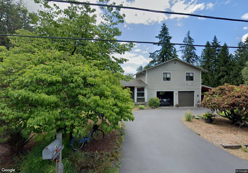
This home is located at 143 Hardy Rd, Kelso, WA 98626 and is currently estimated at $507,462, approximately $268 per square foot. 143 Hardy Rd is a home located in Cowlitz County with nearby schools including Castle Rock Elementary School, Castle Rock Middle School, and Castle Rock High School.
Ownership History
Date
Name
Owned For
Owner Type
Purchase Details
Closed on
Apr 13, 2021
Sold by
Baker Gayle M
Bought by
Baker Gayle M and Famuliner Steven
Current Estimated Value
Purchase Details
Closed on
Aug 2, 2006
Sold by
Vanbaker Jeryl
Bought by
Baker Gayle M
Create a Home Valuation Report for This Property
The Home Valuation Report is an in-depth analysis detailing your home's value as well as a comparison with similar homes in the area
Home Values in the Area
Average Home Value in this Area
Purchase History
| Date | Buyer | Sale Price | Title Company |
|---|---|---|---|
| Baker Gayle M | -- | None Listed On Document | |
| Baker Gayle M | -- | None Available |
Source: Public Records
Tax History Compared to Growth
Tax History
| Year | Tax Paid | Tax Assessment Tax Assessment Total Assessment is a certain percentage of the fair market value that is determined by local assessors to be the total taxable value of land and additions on the property. | Land | Improvement |
|---|---|---|---|---|
| 2024 | $2,871 | $341,220 | $59,860 | $281,360 |
| 2023 | $2,706 | $338,110 | $50,730 | $287,380 |
| 2022 | $2,435 | $332,930 | $57,350 | $275,580 |
| 2021 | $2,481 | $270,770 | $50,310 | $220,460 |
| 2020 | $2,170 | $268,370 | $47,910 | $220,460 |
| 2019 | $1,835 | $243,012 | $47,912 | $195,100 |
| 2018 | $2,048 | $202,210 | $47,910 | $154,300 |
| 2017 | $2,071 | $195,390 | $45,200 | $150,190 |
| 2016 | $1,802 | $199,990 | $47,630 | $152,360 |
| 2015 | $1,800 | $186,860 | $47,630 | $139,230 |
| 2013 | -- | $170,010 | $44,100 | $125,910 |
Source: Public Records
Map
Nearby Homes
- 100 Thimbleberry Dr
- 3820 Westside Hwy
- 159 Tiger Lily Dr
- 4630 Pleasant Hill Rd
- 4339 Pleasant Hill Rd
- 410 Hicks Rd
- 4335 Pleasant Hill Rd
- 3220 Pacific Ave N
- 0 Huntington Ave S Unit NWM2336096
- 107 Guinevere Ct
- 110 Dryad Ln
- 152 Sakari Ln
- 6609 Westside Hwy
- 56 Shear St SW
- 1020 3rd Ave SW
- 705 1st Ave SW
- 2601 Westside Hwy
- 1 D St SW
- 438 Front Ave SW
- 128 Hardy Rd
- 142 Hardy Rd
- 124 Hardy Rd
- 115 Hardy Rd
- 220 Hardy Rd
- 227 Hardy Rd
- 120 Beauvais Rd
- 112 Beauvais Rd
- 315 Hardy Rd
- 212 Hardy Rd
- 150 Beauvais Rd
- 305 Hardy Rd
- 305 Hardy Rd
- 139 Beauvais Rd
- 115 Beauvais Rd
- 302 Hardy Rd
- 158 Beauvais Rd
- 112 Pleasant Hill Ln
- 5334 Pleasant Hill Rd
- 108 Pleasant Hill Ln