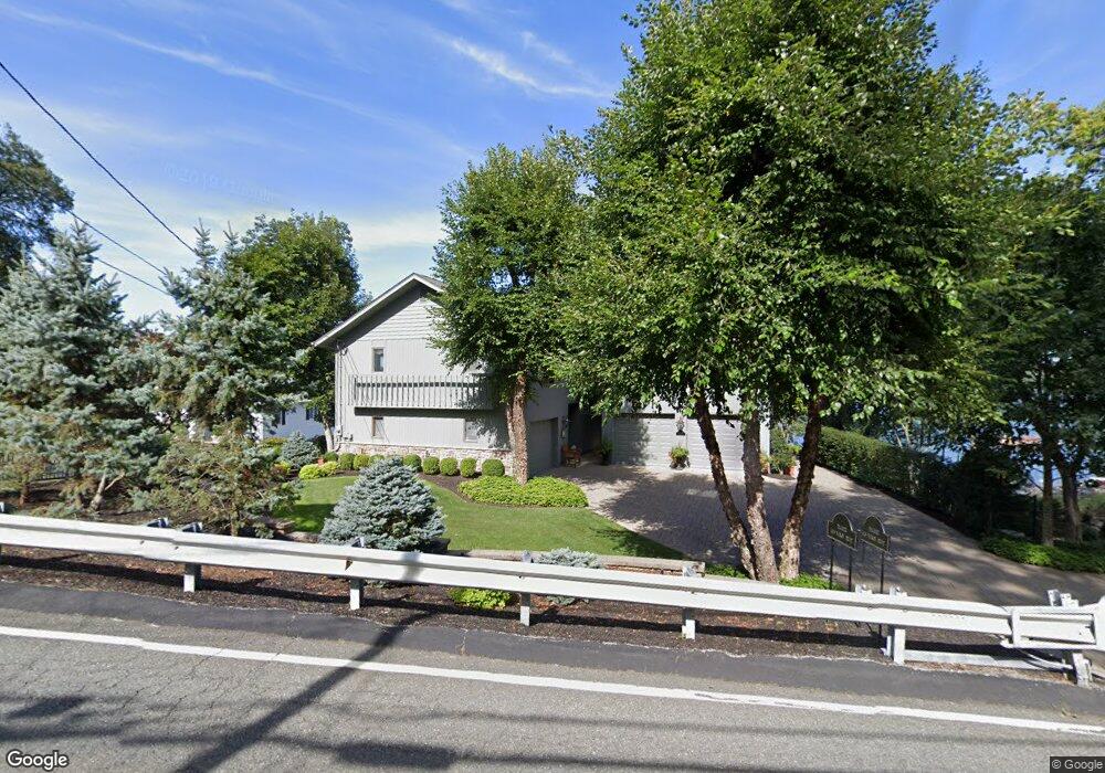
143 Maxim Dr Hopatcong, NJ 07843
Estimated Value: $990,000 - $1,269,000
--
Bed
--
Bath
2,836
Sq Ft
$410/Sq Ft
Est. Value
About This Home
This home is located at 143 Maxim Dr, Hopatcong, NJ 07843 and is currently estimated at $1,163,290, approximately $410 per square foot. 143 Maxim Dr is a home located in Sussex County with nearby schools including Hudson Maxim Elementary School, Durban Avenue Elementary School, and Tulsa Trail Elementary School.
Ownership History
Date
Name
Owned For
Owner Type
Purchase Details
Closed on
Dec 11, 2014
Sold by
Decker Mary Clare
Bought by
Mary Clare Decker Revocable Trust
Current Estimated Value
Purchase Details
Closed on
Dec 15, 2006
Sold by
Decker Mary Clare
Bought by
Decker Mary Clare and The Mary Clare Decker Revocable Trust
Purchase Details
Closed on
May 15, 1998
Sold by
Decker John H and Decker Mary Clare
Bought by
Decker Mary Clare
Purchase Details
Closed on
May 4, 1994
Sold by
Decker John H and Decker Mary Clare
Bought by
Decker John H and Decker Mary Clare
Purchase Details
Closed on
Aug 27, 1993
Sold by
Walker Thomas
Bought by
Decker John and Decker Mary
Create a Home Valuation Report for This Property
The Home Valuation Report is an in-depth analysis detailing your home's value as well as a comparison with similar homes in the area
Home Values in the Area
Average Home Value in this Area
Purchase History
| Date | Buyer | Sale Price | Title Company |
|---|---|---|---|
| Mary Clare Decker Revocable Trust | -- | None Available | |
| Decker Mary Clare | -- | None Available | |
| Decker Mary Clare | -- | -- | |
| Decker John H | -- | -- | |
| Decker John | $312,000 | -- |
Source: Public Records
Tax History Compared to Growth
Tax History
| Year | Tax Paid | Tax Assessment Tax Assessment Total Assessment is a certain percentage of the fair market value that is determined by local assessors to be the total taxable value of land and additions on the property. | Land | Improvement |
|---|---|---|---|---|
| 2025 | $22,724 | $1,089,900 | $355,500 | $734,400 |
| 2024 | $28,163 | $1,089,900 | $355,500 | $734,400 |
| 2023 | $28,163 | $804,900 | $243,900 | $561,000 |
| 2022 | $27,608 | $804,900 | $243,900 | $561,000 |
| 2021 | $27,141 | $804,900 | $243,900 | $561,000 |
| 2020 | $26,860 | $804,900 | $243,900 | $561,000 |
| 2019 | $26,747 | $804,900 | $243,900 | $561,000 |
| 2018 | $26,690 | $804,900 | $243,900 | $561,000 |
| 2017 | $26,650 | $804,900 | $243,900 | $561,000 |
| 2016 | $26,707 | $804,900 | $243,900 | $561,000 |
| 2015 | $26,103 | $804,900 | $243,900 | $561,000 |
| 2014 | $26,014 | $804,900 | $243,900 | $561,000 |
Source: Public Records
Map
Nearby Homes
- 131 Maxim Dr
- 18 Sutton Rd
- 208 Maxim Dr
- 26 Bayview Ave
- 14 Marshall Trail
- 6 Bonaparte
- 6 Bonaparte Point Rd
- 4 Kansas Way
- 23 Fordham Trail
- 46 Oklahoma Trail
- 12 Adelphi Trail
- 34 Oklahoma Trail
- 354 Maxim Dr
- 12 Bass Rock Rd
- 56 Raccoon Island Rd
- 11 Bass Rock Rd
- 8 Oneida Ave
- 280 Carentan Rd
- 61 Elba Ave
- 496 River Styx Rd