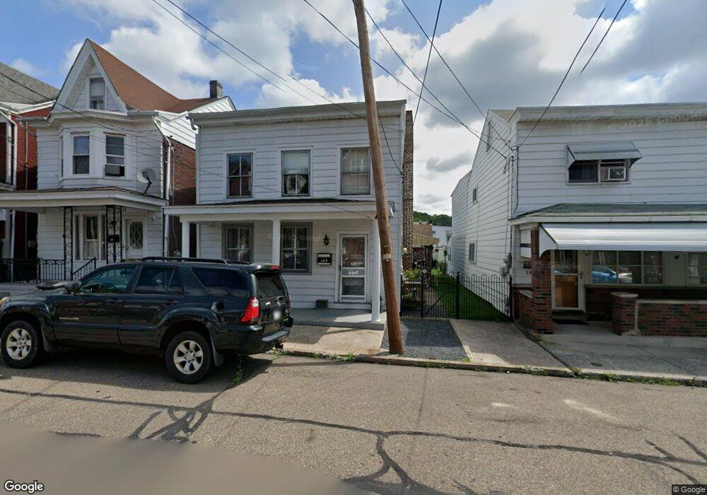
143 N Mill St Saint Clair, PA 17970
Estimated Value: $70,000 - $162,000
3
Beds
1
Bath
1,156
Sq Ft
$90/Sq Ft
Est. Value
About This Home
This home is located at 143 N Mill St, Saint Clair, PA 17970 and is currently estimated at $103,486, approximately $89 per square foot. 143 N Mill St is a home located in Schuylkill County with nearby schools including Saint Clair Area Elementary/Middle School, Gillingham Charter School, and ASSUMPTION BVM SCHOOL.
Ownership History
Date
Name
Owned For
Owner Type
Purchase Details
Closed on
Sep 20, 2024
Sold by
Mcmurtrie Cynthia M and Sninsky Cheryl L
Bought by
Rosario Rafael
Current Estimated Value
Home Financials for this Owner
Home Financials are based on the most recent Mortgage that was taken out on this home.
Original Mortgage
$8,000
Interest Rate
6.12%
Mortgage Type
New Conventional
Purchase Details
Closed on
Mar 30, 2017
Sold by
Mcmurtrie John J
Bought by
Mcmurtrie Cynthia M and Sninsky Cheryl L
Create a Home Valuation Report for This Property
The Home Valuation Report is an in-depth analysis detailing your home's value as well as a comparison with similar homes in the area
Home Values in the Area
Average Home Value in this Area
Purchase History
| Date | Buyer | Sale Price | Title Company |
|---|---|---|---|
| Rosario Rafael | $142,000 | None Listed On Document | |
| Rosario Rafael | $142,000 | None Listed On Document | |
| Mcmurtrie Cynthia M | -- | None Available |
Source: Public Records
Mortgage History
| Date | Status | Borrower | Loan Amount |
|---|---|---|---|
| Closed | Rosario Rafael | $8,000 | |
| Previous Owner | Rosario Rafael | $139,428 |
Source: Public Records
Tax History
| Year | Tax Paid | Tax Assessment Tax Assessment Total Assessment is a certain percentage of the fair market value that is determined by local assessors to be the total taxable value of land and additions on the property. | Land | Improvement |
|---|---|---|---|---|
| 2025 | $971 | $14,770 | $5,000 | $9,770 |
| 2024 | $909 | $14,770 | $5,000 | $9,770 |
| 2023 | $864 | $14,770 | $5,000 | $9,770 |
| 2022 | $864 | $14,770 | $5,000 | $9,770 |
| 2021 | $873 | $14,770 | $5,000 | $9,770 |
| 2020 | $873 | $14,770 | $5,000 | $9,770 |
| 2018 | $855 | $14,770 | $5,000 | $9,770 |
| 2017 | $822 | $14,770 | $5,000 | $9,770 |
| 2015 | -- | $14,770 | $5,000 | $9,770 |
| 2011 | -- | $14,770 | $0 | $0 |
Source: Public Records
Map
Nearby Homes
- 141 S Nicholas St
- 0, 305, 307 S 2nd St
- 219 S 3rd St
- 331 S 2nd St
- 32 S Front St
- 1 S Front St Thwing St
- Lot 30 Elmwood Ct
- 0 - Lot 10 Elmwood Ct Unit 10
- 0 Caroline Ave Unit PASK2022658
- 714 Port Carbon Saint Clair Hwy
- 108 Cherry St
- 702 & 698 Port Carbon St Clair Hwy
- 117 Chestnut St
- 11 Bryn Mawr Ave
- 717 5th St
- 0 Schuylkill Manor Rd Unit PASK2018142
- 758 Walnut St
- 500 3rd St
- 542 3rd St
- 15 Marcello Dr
- 143 N Mill St
- 145 N Mill St
- 137 S Mill St
- 135 N Mill St
- 133 S Mill St
- 119 E Railroad St Unit 121
- 134 N Mill St
- 140 S Nicholas St
- 142 S Nicholas St
- 127 S Mill St
- 146 S Nicholas St Unit 2
- 144 S Nicholas St
- 134 S Nicholas St
- 125 S Mill St
- 145 S Mill St
- 145 S Mill St Unit 47
- 146 N Nichols St
- 128 N Mill St
- 142 N Nichols St
- 130 S Mill St
Your Personal Tour Guide
Ask me questions while you tour the home.