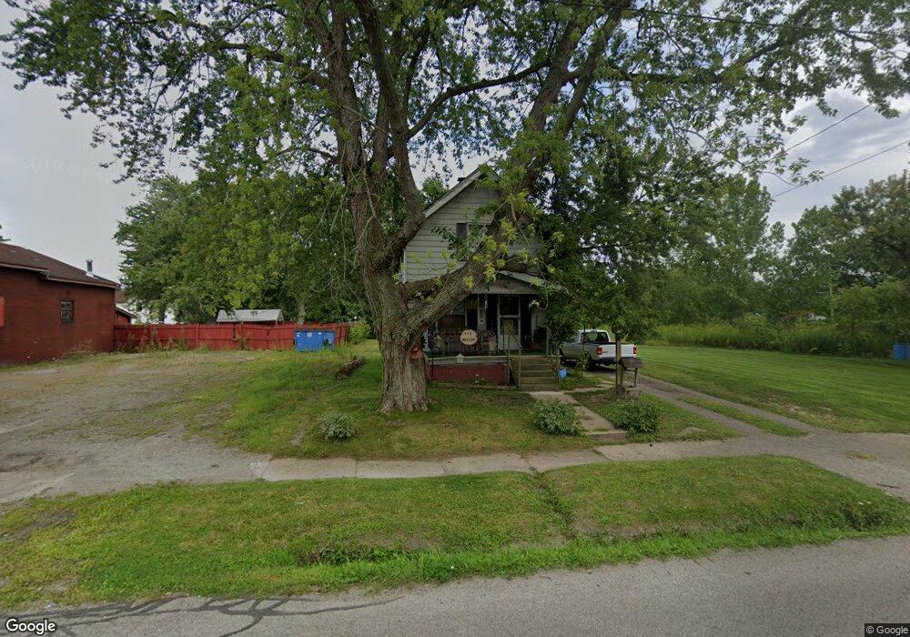
143 Nevada Ave SW Warren, OH 44485
Southwest Warren NeighborhoodEstimated Value: $45,724
2
Beds
2
Baths
796
Sq Ft
$57/Sq Ft
Est. Value
About This Home
This home is located at 143 Nevada Ave SW, Warren, OH 44485 and is currently estimated at $45,724, approximately $57 per square foot. 143 Nevada Ave SW is a home located in Trumbull County with nearby schools including Jefferson School, Warren G. Harding High School, and Steam Academy of Warren.
Ownership History
Date
Name
Owned For
Owner Type
Purchase Details
Closed on
Sep 7, 2022
Sold by
Vanderwall and Jack
Bought by
Vanderwall George B
Current Estimated Value
Purchase Details
Closed on
Jul 21, 2010
Sold by
Lunn Wayne B and Lunn Lois R
Bought by
Vanderwall Jack and Vanderwall Margaret
Purchase Details
Closed on
Nov 4, 2003
Sold by
C & A Financial Programs Inc
Bought by
Lunn Wayne and Lunn Lois
Purchase Details
Closed on
Jan 1, 1990
Bought by
J & P Realty
Create a Home Valuation Report for This Property
The Home Valuation Report is an in-depth analysis detailing your home's value as well as a comparison with similar homes in the area
Home Values in the Area
Average Home Value in this Area
Purchase History
| Date | Buyer | Sale Price | Title Company |
|---|---|---|---|
| Vanderwall George B | -- | -- | |
| Vanderwall Jack | $20,000 | None Available | |
| Lunn Wayne | $14,054 | -- | |
| J & P Realty | -- | -- |
Source: Public Records
Tax History Compared to Growth
Tax History
| Year | Tax Paid | Tax Assessment Tax Assessment Total Assessment is a certain percentage of the fair market value that is determined by local assessors to be the total taxable value of land and additions on the property. | Land | Improvement |
|---|---|---|---|---|
| 2024 | $223 | $4,410 | $770 | $3,640 |
| 2023 | $223 | $4,410 | $770 | $3,640 |
| 2022 | $0 | $3,430 | $770 | $2,660 |
| 2021 | $252 | $3,430 | $770 | $2,660 |
| 2020 | $252 | $3,430 | $770 | $2,660 |
| 2019 | $252 | $3,290 | $770 | $2,520 |
| 2018 | $0 | $3,290 | $770 | $2,520 |
| 2017 | $252 | $3,290 | $770 | $2,520 |
| 2016 | $252 | $4,000 | $1,020 | $2,980 |
| 2015 | $251 | $4,000 | $1,020 | $2,980 |
| 2014 | $249 | $4,000 | $1,020 | $2,980 |
| 2013 | $253 | $4,280 | $1,020 | $3,260 |
Source: Public Records
Map
Nearby Homes
- 666 Dickey Ave NW
- 600 Parkman Rd NW
- 806 Parkman Rd NW
- 983 Garden St NW
- 1166 Raymond St NW
- 2144 Northwest Blvd NW
- 1056 Orlo Dr NW
- 970 Tod Ave NW
- 1552 Denison Ave NW
- 2931 Randolph St NW
- 759 Tod Ave SW
- 1727 Lexington Ave NW
- 1325 Moncrest Dr NW
- 2879 Linda Dr NW
- 561 South St SW
- 1863 Deerfield Ave SW
- 1945 Norwood St NW
- 1936 Norwood St NW
- 1351 Bradford St NW
- 1647 Southern Blvd NW
- 135 Nevada Ave SW
- 151 Nevada Ave SW
- 125 Nevada Ave SW
- 134 Nevada Ave SW
- 124 Nevada Ave SW
- 1913 W Market St
- 146 Nevada Ave SW
- 1961 W Market St
- 1851 W Market St
- 1837 W Market St
- 2019 W Market St
- 1884 Victoria St SW
- 1874 Victoria St SW
- 1904 W Market St
- 1924 W Market St
- 1864 Victoria St SW
- 1932 W Market St
- 1944 W Market St
- 135 Vermont Ave SW
- 1854 Victoria St SW