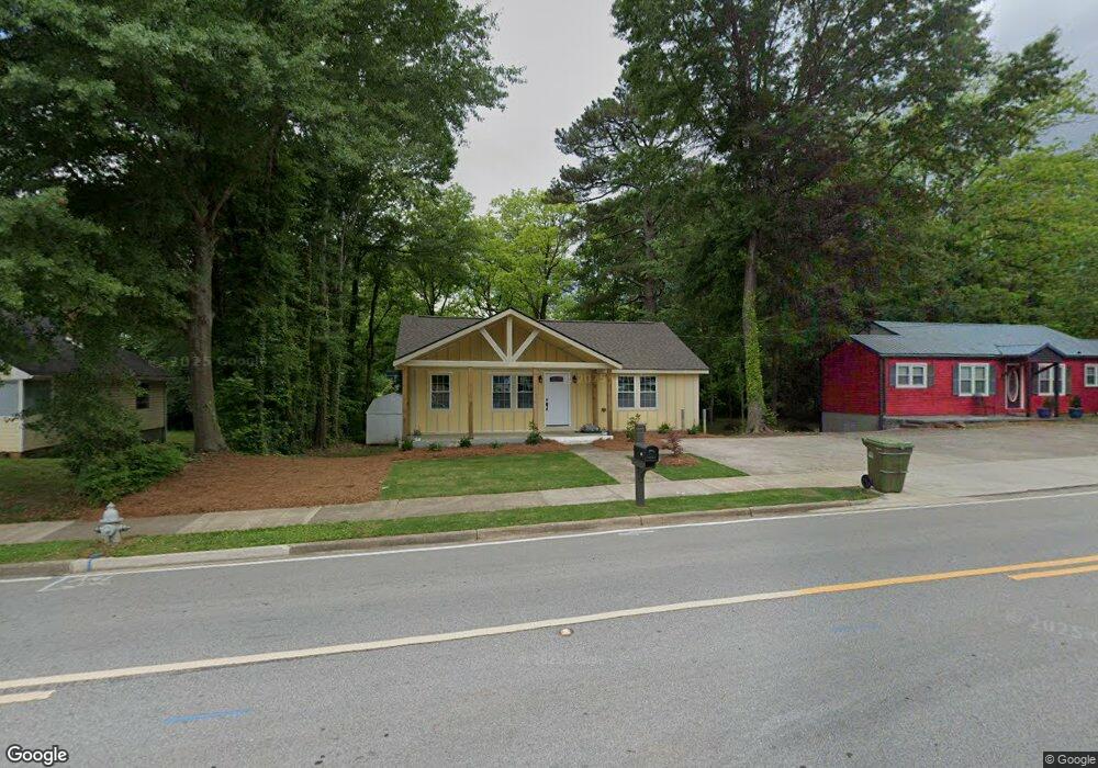
143 Newnan Rd Carrollton, GA 30117
Estimated Value: $168,421 - $182,000
2
Beds
1
Bath
930
Sq Ft
$187/Sq Ft
Est. Value
About This Home
This home is located at 143 Newnan Rd, Carrollton, GA 30117 and is currently estimated at $174,355, approximately $187 per square foot. 143 Newnan Rd is a home located in Carroll County with nearby schools including Carrollton Elementary School, Carrollton Upper Elementary School, and Carrollton Middle School.
Ownership History
Date
Name
Owned For
Owner Type
Purchase Details
Closed on
Dec 15, 2023
Sold by
Flores Obadaiah
Bought by
Sauceda Rony
Current Estimated Value
Purchase Details
Closed on
Jan 14, 2000
Sold by
Sfi Financial Servic
Bought by
Flores Theodore
Purchase Details
Closed on
Nov 2, 1999
Sold by
Kelly Charles L
Bought by
Sfi Financial Servic
Purchase Details
Closed on
Mar 1, 1996
Sold by
Mcdowell D H
Bought by
Kelly Charles L
Purchase Details
Closed on
Feb 15, 1993
Sold by
Ledbetter Ledbetter J and Ledbetter Gregg
Bought by
Mcdowell D H
Purchase Details
Closed on
Nov 4, 1991
Bought by
Ledbetter Ledbetter J and Ledbetter Gregg
Create a Home Valuation Report for This Property
The Home Valuation Report is an in-depth analysis detailing your home's value as well as a comparison with similar homes in the area
Home Values in the Area
Average Home Value in this Area
Purchase History
| Date | Buyer | Sale Price | Title Company |
|---|---|---|---|
| Sauceda Rony | $60,000 | -- | |
| Flores Theodore | $46,500 | -- | |
| Sfi Financial Servic | $38,700 | -- | |
| Kelly Charles L | $40,000 | -- | |
| Mcdowell D H | $30,000 | -- | |
| Ledbetter Ledbetter J | $27,000 | -- |
Source: Public Records
Tax History Compared to Growth
Tax History
| Year | Tax Paid | Tax Assessment Tax Assessment Total Assessment is a certain percentage of the fair market value that is determined by local assessors to be the total taxable value of land and additions on the property. | Land | Improvement |
|---|---|---|---|---|
| 2024 | $656 | $45,296 | $17,449 | $27,847 |
| 2023 | $656 | $42,920 | $17,449 | $25,471 |
| 2022 | $186 | $32,127 | $11,633 | $20,494 |
| 2021 | $161 | $26,447 | $8,617 | $17,830 |
| 2020 | $152 | $24,496 | $8,617 | $15,879 |
| 2019 | $151 | $23,386 | $8,617 | $14,769 |
| 2018 | $93 | $14,525 | $1,909 | $12,616 |
| 2017 | $94 | $14,525 | $1,909 | $12,616 |
| 2016 | $94 | $14,525 | $1,909 | $12,616 |
| 2015 | $132 | $17,670 | $4,592 | $13,079 |
| 2014 | $548 | $17,671 | $4,592 | $13,079 |
Source: Public Records
Map
Nearby Homes
- 122 Mandeville Ave
- 322 Cedar St
- 120 Stewart St
- 201 Stewart St
- 114 Bennett Cir
- 406 Harmon Ave
- 119 Oxford Square
- 105 Mara St
- 541 N White St Unit 12
- 541 N White St
- 150 Adamson Dr
- 317 Bledsoe St
- 301 C4 Bradley St
- 509 Adamson Ave
- 301 Bradley St
- 521 Adamson Ave
- 423 Clifton Terrace
- 110 Town Walk Ln
- 27 South St
- 205 Johnson Ave Unit 231