143 Payne Rd Ellijay, GA 30536
Estimated Value: $1,181,671 - $1,283,000
3
Beds
5
Baths
7,403
Sq Ft
$166/Sq Ft
Est. Value
About This Home
This home is located at 143 Payne Rd, Ellijay, GA 30536 and is currently estimated at $1,232,336, approximately $166 per square foot. 143 Payne Rd is a home located in Gilmer County with nearby schools including Ellijay Elementary School, Clear Creek Elementary School, and Clear Creek Middle School.
Ownership History
Date
Name
Owned For
Owner Type
Purchase Details
Closed on
Mar 10, 2023
Sold by
Chatham Jeb W
Bought by
Chatham Rhonda F
Current Estimated Value
Purchase Details
Closed on
Nov 21, 2019
Sold by
Chatham Jeb W
Bought by
Chatham Rhonda F
Purchase Details
Closed on
Jun 4, 1998
Sold by
Futch Ann P
Bought by
Chatham Jeb W and Chatham Rh
Purchase Details
Closed on
Feb 7, 1998
Sold by
Payne Della A
Bought by
Futch Ann P
Create a Home Valuation Report for This Property
The Home Valuation Report is an in-depth analysis detailing your home's value as well as a comparison with similar homes in the area
Home Values in the Area
Average Home Value in this Area
Purchase History
| Date | Buyer | Sale Price | Title Company |
|---|---|---|---|
| Chatham Rhonda F | -- | -- | |
| Chatham Rhonda F | -- | -- | |
| Chatham Jeb W | -- | -- | |
| Chatham Jeb W | -- | -- | |
| Futch Ann P | -- | -- |
Source: Public Records
Tax History Compared to Growth
Tax History
| Year | Tax Paid | Tax Assessment Tax Assessment Total Assessment is a certain percentage of the fair market value that is determined by local assessors to be the total taxable value of land and additions on the property. | Land | Improvement |
|---|---|---|---|---|
| 2024 | $7,914 | $510,800 | $8,480 | $502,320 |
| 2023 | $7,533 | $509,440 | $7,120 | $502,320 |
| 2022 | $7,319 | $415,880 | $7,120 | $408,760 |
| 2021 | $6,489 | $305,080 | $6,240 | $298,840 |
| 2020 | $6,145 | $279,372 | $6,080 | $273,292 |
| 2019 | $5,703 | $279,372 | $6,080 | $273,292 |
| 2018 | $6,110 | $266,332 | $6,080 | $260,252 |
| 2016 | $6,488 | $258,468 | $6,080 | $252,388 |
| 2015 | $5,990 | $242,960 | $3,600 | $239,360 |
| 2014 | $6,143 | $239,732 | $3,600 | $236,132 |
| 2013 | -- | $238,716 | $4,320 | $234,396 |
Source: Public Records
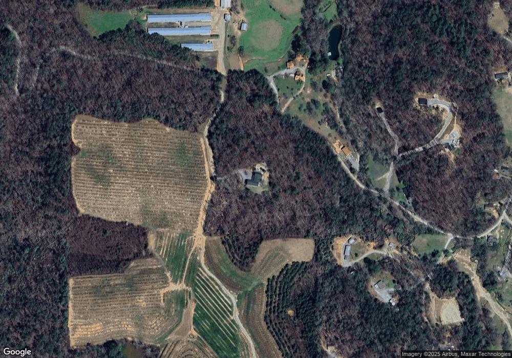
Map
Nearby Homes
- Lot 21 Ridgemont Ln
- lot 22 Ridgemont Ln
- Lot 23 Ridgemont Ln
- 514 Ridgemont Dr
- Lot 13 Ridgemont Dr
- 4508 Owltown Rd
- 198 Hollow Log Dr
- 0 Big Creek Rd Unit 10611738
- 0 Big Creek Rd Unit 7654771
- 0 Big Creek Rd Unit 419038
- 439 Buck Creek Rd Lt 34
- 105 Riveredge Dr
- 380 Rainbow Mountain Dr
- LOT 19 Owl Mountain Rd
- 115 Beauregard Ln
- 44 Cartecay Ct
- 906 Mt Zion Rd
- 655 Mt Zion Rd
- 857 Mount Zion Rd
- 906 Mount Zion Rd
- 907 Mt Zion Rd
- 907 Mount Zion Rd
- 9.18A Mount Zion Rd
- 0 Mount Zion Rd Unit 8572253
- 1053 Mount Zion Rd
- 1053 Mt Zion Rd
- 535 Payne Rd
- 998 Mt Zion Rd
- 1077 Mt Zion Rd
- 588 Payne Rd
- 954 Mt Zion Rd
- 1131 Mt Zion Rd
- 1094 Mt Zion Rd
- 1190 Mt Zion Rd
- 250 Ridgemont Ln
- 1196 Mt Zion Rd