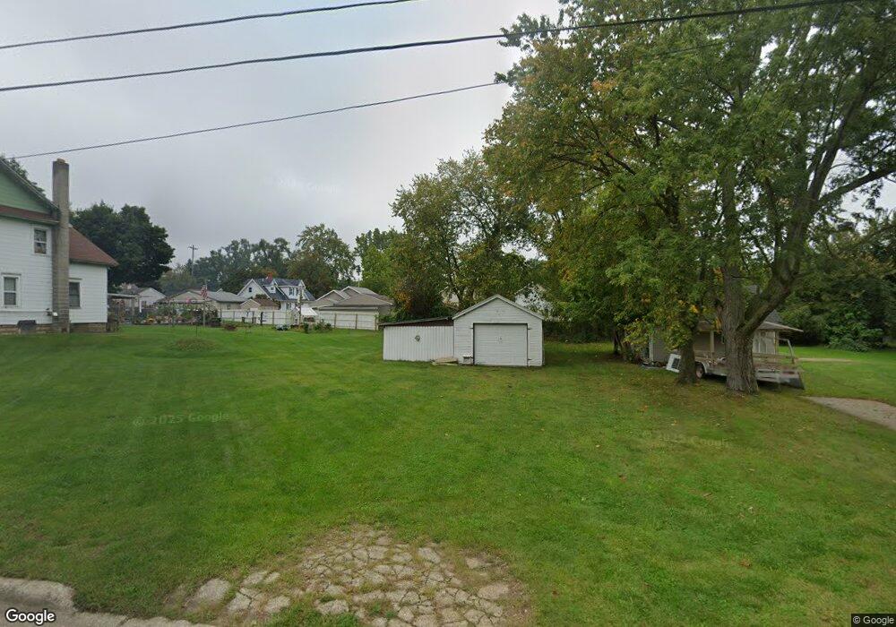
143 Price St Jackson, MI 49202
Nixon NeighborhoodEstimated Value: $63,942 - $107,000
1
Bed
1
Bath
468
Sq Ft
$173/Sq Ft
Est. Value
About This Home
This home is located at 143 Price St, Jackson, MI 49202 and is currently estimated at $80,736, approximately $172 per square foot. 143 Price St is a home located in Jackson County with nearby schools including Hunt Elementary School, Middle School at Parkside, and Jackson High School.
Ownership History
Date
Name
Owned For
Owner Type
Purchase Details
Closed on
Feb 13, 2006
Sold by
Marclan Llc
Bought by
Waite Timothy A and Waite Susan
Current Estimated Value
Purchase Details
Closed on
Jun 4, 2002
Sold by
Brown Bascorn and Brown Nicole C
Bought by
Curtis Timothy
Home Financials for this Owner
Home Financials are based on the most recent Mortgage that was taken out on this home.
Original Mortgage
$35,068
Outstanding Balance
$14,974
Interest Rate
6.95%
Mortgage Type
FHA
Estimated Equity
$65,762
Create a Home Valuation Report for This Property
The Home Valuation Report is an in-depth analysis detailing your home's value as well as a comparison with similar homes in the area
Home Values in the Area
Average Home Value in this Area
Purchase History
| Date | Buyer | Sale Price | Title Company |
|---|---|---|---|
| Waite Timothy A | -- | None Available | |
| Curtis Timothy | $35,000 | -- |
Source: Public Records
Mortgage History
| Date | Status | Borrower | Loan Amount |
|---|---|---|---|
| Open | Curtis Timothy | $35,068 |
Source: Public Records
Tax History Compared to Growth
Tax History
| Year | Tax Paid | Tax Assessment Tax Assessment Total Assessment is a certain percentage of the fair market value that is determined by local assessors to be the total taxable value of land and additions on the property. | Land | Improvement |
|---|---|---|---|---|
| 2025 | $811 | $23,100 | $0 | $0 |
| 2024 | $702 | $18,900 | $0 | $0 |
| 2023 | $673 | $17,300 | $0 | $0 |
| 2022 | $546 | $16,200 | $0 | $0 |
| 2021 | $545 | $12,450 | $0 | $0 |
| 2020 | $539 | $13,300 | $0 | $0 |
| 2019 | $523 | $11,550 | $0 | $0 |
| 2018 | $494 | $10,450 | $0 | $0 |
| 2017 | $442 | $10,400 | $0 | $0 |
| 2016 | $358 | $10,200 | $10,200 | $0 |
| 2015 | $410 | $10,500 | $10,500 | $0 |
| 2014 | $410 | $10,200 | $10,200 | $0 |
| 2013 | -- | $10,200 | $10,200 | $0 |
Source: Public Records
Map
Nearby Homes
- 1115 Cooper St
- 127 W Argyle St
- 0 Brookley Ave
- 1015 N Blackstone St
- 431 Madison St
- 1104 N Waterloo St
- VL Rosehill Rd
- 550 Royal Dr
- 1945 Cooper St
- 827 Wells St
- 1105 Clinton Rd
- 828 Maltby St
- 813 Cooper St
- 100 E Ganson St
- 816 Maltby St
- 313 Taylor St
- 308 W Ganson St
- 314 W Ganson St
- 828 Backus St
- 623 Steward Ave