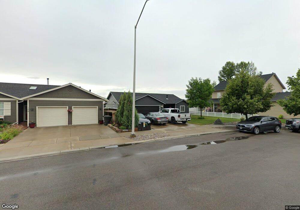
143 Rimrock Ct Kalispell, MT 59901
Estimated Value: $467,544 - $490,000
About This Home
This home is located at 143 Rimrock Ct, Kalispell, MT 59901 and is currently estimated at $481,886, approximately $309 per square foot. 143 Rimrock Ct is a home located in Flathead County with nearby schools including Lillian Peterson School, Kalispell Middle School, and Flathead High School.
Ownership History
We collect this data history from publicly available records. To have your information removed, we recommend requesting removal directly through your county’s website.
Purchase Details
Home Financials for this Owner
Home Financials are based on the most recent Mortgage that was taken out on this home.Purchase Details
Home Financials for this Owner
Home Financials are based on the most recent Mortgage that was taken out on this home.Purchase Details
Purchase Details
Purchase Details
Home Financials for this Owner
Home Financials are based on the most recent Mortgage that was taken out on this home.Purchase History
We collect this data history from publicly available records. To have your information removed, we recommend requesting removal directly through your county’s website.
| Date | Buyer | Sale Price | Title Company |
|---|---|---|---|
| -- | Fidelity National Title | ||
| -- | Insured Titles | ||
| -- | None Available | ||
| -- | None Available | ||
| -- | Alliance Title |
Mortgage History
We collect this data history from publicly available records. To have your information removed, we recommend requesting removal directly through your county’s website.
| Date | Status | Borrower | Loan Amount |
|---|---|---|---|
| Open | $365,750 | ||
| Closed | $365,750 | ||
| Previous Owner | $151,600 | ||
| Previous Owner | $165,000 |
Tax History
We collect this data history from publicly available records. To have your information removed, we recommend requesting removal directly through your county’s website.
| Year | Tax Paid | Tax Assessment Tax Assessment Total Assessment is a certain percentage of the fair market value that is determined by local assessors to be the total taxable value of land and additions on the property. | Land | Improvement |
|---|---|---|---|---|
| 2025 | $2,304 | $455,300 | $0 | $0 |
| 2024 | $3,229 | $414,700 | $0 | $0 |
| 2023 | $3,644 | $414,700 | $0 | $0 |
| 2022 | $3,298 | $278,900 | $0 | $0 |
| 2021 | $3,181 | $278,900 | $0 | $0 |
| 2020 | $2,836 | $232,800 | $0 | $0 |
| 2019 | $2,841 | $232,800 | $0 | $0 |
| 2018 | $2,722 | $212,600 | $0 | $0 |
| 2017 | $2,731 | $212,600 | $0 | $0 |
| 2016 | $2,232 | $187,100 | $0 | $0 |
| 2015 | $2,232 | $187,100 | $0 | $0 |
| 2014 | $2,073 | $103,456 | $0 | $0 |
Map
- 139 Rim Rock Ct
- 139 Rimrock Ct
- 131 Rimrock Ct
- 143 Rim Rock Ct
- 127 Rimrock Ct
- 120 Rimrock Ct
- 147 Rimrock Ct
- 123 Rimrock Ct
- 119 Rimrock Ct
- 116 Rim Rock Ct
- 116 Rimrock Ct
- 144 Rimrock Ct
- 148 Rimrock Ct
- 1831 Bluestone Dr
- 1900 S Meadows Dr
- 1827 Bluestone Dr
- 115 Rimrock Ct
- 115 Rimrock Ct
- 1823 Bluestone Dr
- 111 Rimrock Ct
Ask me questions while you tour the home.