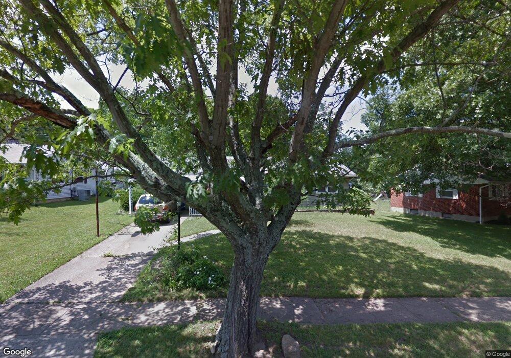
143 Rockford Dr Hamilton, OH 45013
Estimated Value: $175,000 - $206,000
2
Beds
1
Bath
988
Sq Ft
$196/Sq Ft
Est. Value
About This Home
This home is located at 143 Rockford Dr, Hamilton, OH 45013 and is currently estimated at $193,534, approximately $195 per square foot. 143 Rockford Dr is a home located in Butler County with nearby schools including Brookwood Elementary School, Wilson Middle School, and Hamilton High School Main Campus.
Ownership History
Date
Name
Owned For
Owner Type
Purchase Details
Closed on
Aug 30, 2021
Sold by
Hedgepeth Paula
Bought by
Hedgepeth Johnathan
Current Estimated Value
Home Financials for this Owner
Home Financials are based on the most recent Mortgage that was taken out on this home.
Original Mortgage
$120,772
Outstanding Balance
$109,894
Interest Rate
2.8%
Mortgage Type
FHA
Estimated Equity
$83,640
Purchase Details
Closed on
Oct 27, 2015
Sold by
Truett James Steven
Bought by
Hedgepeth Paula
Purchase Details
Closed on
Jul 1, 1992
Purchase Details
Closed on
Aug 1, 1987
Create a Home Valuation Report for This Property
The Home Valuation Report is an in-depth analysis detailing your home's value as well as a comparison with similar homes in the area
Home Values in the Area
Average Home Value in this Area
Purchase History
| Date | Buyer | Sale Price | Title Company |
|---|---|---|---|
| Hedgepeth Johnathan | $123,000 | American Homeland Title | |
| Hedgepeth Paula | -- | Attorney | |
| -- | $59,000 | -- | |
| -- | $50,000 | -- |
Source: Public Records
Mortgage History
| Date | Status | Borrower | Loan Amount |
|---|---|---|---|
| Open | Hedgepeth Johnathan | $120,772 |
Source: Public Records
Tax History Compared to Growth
Tax History
| Year | Tax Paid | Tax Assessment Tax Assessment Total Assessment is a certain percentage of the fair market value that is determined by local assessors to be the total taxable value of land and additions on the property. | Land | Improvement |
|---|---|---|---|---|
| 2024 | $2,120 | $50,240 | $10,130 | $40,110 |
| 2023 | $2,110 | $50,240 | $10,130 | $40,110 |
| 2022 | $1,869 | $37,730 | $10,130 | $27,600 |
| 2021 | $1,656 | $36,570 | $10,130 | $26,440 |
| 2020 | $1,725 | $36,570 | $10,130 | $26,440 |
| 2019 | $2,070 | $28,270 | $10,060 | $18,210 |
| 2018 | $1,314 | $28,270 | $10,060 | $18,210 |
| 2017 | $1,325 | $28,270 | $10,060 | $18,210 |
| 2016 | $1,284 | $26,110 | $10,060 | $16,050 |
| 2015 | $1,314 | $26,110 | $10,060 | $16,050 |
| 2014 | $1,529 | $26,110 | $10,060 | $16,050 |
| 2013 | $1,529 | $32,350 | $10,060 | $22,290 |
Source: Public Records
Map
Nearby Homes
- 781 Springvale Dr
- 2073 Sunset Dr
- 16 Rockford Dr
- 560 Springvale Dr
- 65 W Persimmon Dr
- 238 Twinbrook Dr
- 124 Twinbrook Dr
- 885 Carlisle Ave
- 1241 Millville Ave
- 1063 Westview Ave
- 1281 Millville Ave
- 1350 Stahlheber Rd
- 15 Ohio Ave
- 411 Smalley Blvd
- 413 Smalley Blvd
- 616 Rockford Dr
- 339 Hartford Dr
- 465 Smalley Blvd
- 500 Smalley Blvd
- 43 Thornhill Dr
- 151 Rockford Dr
- 133 Rockford Dr
- 163 Rockford Dr
- 144 Rockford Dr
- 115 Rockford Dr
- 152 Rockford Dr
- 136 Rockford Dr
- 175 Rockford Dr
- 162 Rockford Dr
- 170 Rockford Dr
- 187 Rockford Dr
- 101 Rockford Dr
- 2080 Sunset Dr Unit H35
- 180 Rockford Dr
- 2066 Sunset Dr
- 87 Rockford Dr
- 199 Rockford Dr
- 2064 Sunset Dr
- 2064 Sunset Dr Unit I 38
- 2060 Sunset Dr