143 Shuford Dr Statesville, NC 28625
Estimated Value: $308,000 - $502,000
3
Beds
2
Baths
4,020
Sq Ft
$92/Sq Ft
Est. Value
About This Home
This home is located at 143 Shuford Dr, Statesville, NC 28625 and is currently estimated at $371,282, approximately $92 per square foot. 143 Shuford Dr is a home located in Iredell County with nearby schools including N.B. Mills Elementary School, West Iredell Middle School, and West Iredell High School.
Ownership History
Date
Name
Owned For
Owner Type
Purchase Details
Closed on
Jul 15, 2009
Sold by
Feimster Gloria L and Montoya Angel F
Bought by
Totherow Edward Wayne and Totherow Rebecca
Current Estimated Value
Home Financials for this Owner
Home Financials are based on the most recent Mortgage that was taken out on this home.
Original Mortgage
$12,625
Interest Rate
5.22%
Mortgage Type
Future Advance Clause Open End Mortgage
Purchase Details
Closed on
Aug 1, 1987
Bought by
Totherow Edward Wayne
Purchase Details
Closed on
Jun 1, 1977
Purchase Details
Closed on
Jun 1, 1974
Create a Home Valuation Report for This Property
The Home Valuation Report is an in-depth analysis detailing your home's value as well as a comparison with similar homes in the area
Home Values in the Area
Average Home Value in this Area
Purchase History
| Date | Buyer | Sale Price | Title Company |
|---|---|---|---|
| Totherow Edward Wayne | $17,000 | None Available | |
| Totherow Edward Wayne | $67,500 | -- | |
| -- | -- | -- | |
| -- | -- | -- |
Source: Public Records
Mortgage History
| Date | Status | Borrower | Loan Amount |
|---|---|---|---|
| Previous Owner | Totherow Edward Wayne | $12,625 |
Source: Public Records
Tax History Compared to Growth
Tax History
| Year | Tax Paid | Tax Assessment Tax Assessment Total Assessment is a certain percentage of the fair market value that is determined by local assessors to be the total taxable value of land and additions on the property. | Land | Improvement |
|---|---|---|---|---|
| 2024 | $1,486 | $241,670 | $11,200 | $230,470 |
| 2023 | $1,486 | $241,600 | $11,130 | $230,470 |
| 2022 | $1,105 | $166,480 | $9,540 | $156,940 |
| 2021 | $1,101 | $166,480 | $9,540 | $156,940 |
| 2020 | $1,000 | $150,360 | $9,540 | $140,820 |
| 2019 | $984 | $150,360 | $9,540 | $140,820 |
| 2018 | $825 | $129,350 | $9,540 | $119,810 |
| 2017 | $825 | $129,350 | $9,540 | $119,810 |
| 2016 | $825 | $129,350 | $9,540 | $119,810 |
| 2015 | $814 | $127,580 | $9,540 | $118,040 |
| 2014 | $764 | $128,240 | $9,540 | $118,700 |
Source: Public Records
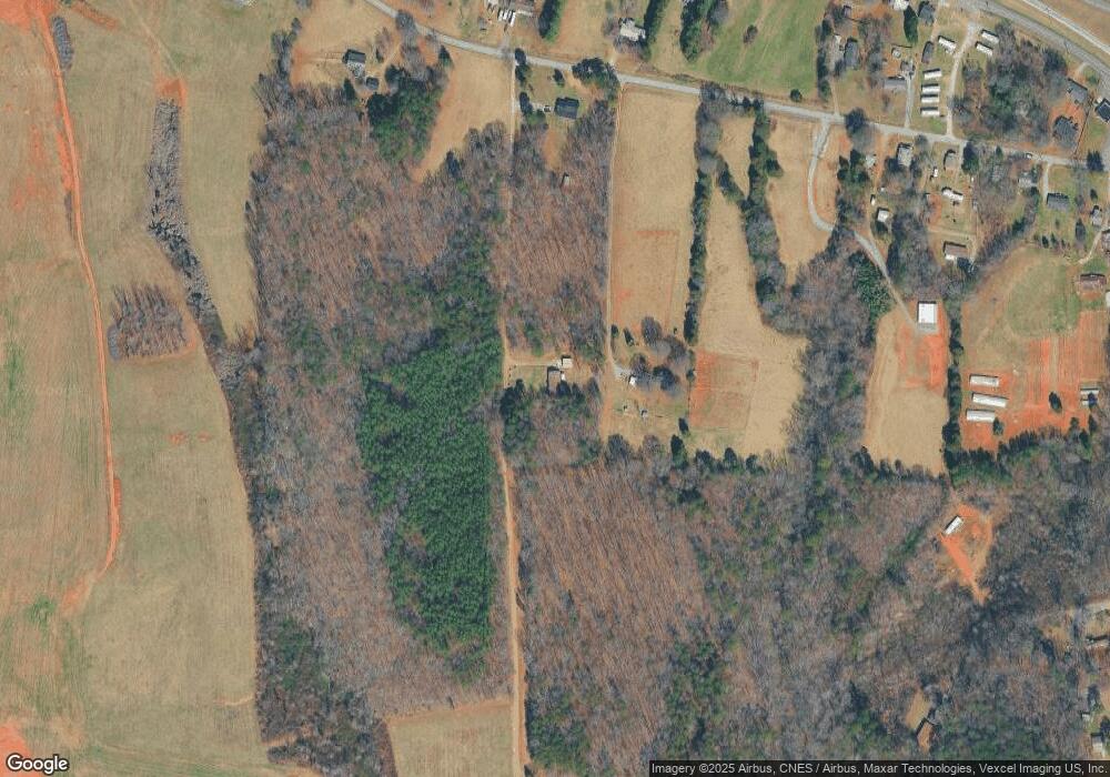
Map
Nearby Homes
- 108 Red Cedar Ln
- 114 Red Cedar Ln
- 198 Castle Pines Ln
- 0 Butterfield Cir Unit 7
- 120 Rosy Apple Ln Unit 124
- 126 Penguin Ln
- 105 Marble Rd
- 114 Cedar Ridge Loop
- 146 Beech Brook Ln
- 269 Monticello Rd
- 0 Cedarbrook Dr Unit 45
- 3925 Taylorsville Hwy
- 165 Meadowlark Ln Unit 26
- 115 Morrison Creek Rd
- 140 Swan Park Ln Unit 16
- 128 Swan Park Ln Unit 18
- 104 Swan Park Ln Unit 22
- 3606 Rose St Unit 55
- 124 Smokestack Ln
- 827 Flint Dr
- 169 Absher Farm Loop
- 187 Absher Farm Loop
- 178 Absher Farm Loop
- 215 Absher Farm Loop
- 215 Absher Farm Loop
- 141 Absher Farm Loop
- 141 Absher Farm Loop
- 194 Absher Farm Loop
- 131 Absher Farm Loop
- 133 Absher Farm Loop
- 144 Absher Farm Loop
- 129 Absher Farm Loop
- 3617 Taylorsville Hwy
- 3595 Taylorsville Hwy
- 3581 Taylorsville Hwy
- 3627 Taylorsville Hwy
- 3575 Taylorsville Hwy
- 186 Kay Ln
- 3631 Taylorsville Hwy
- 123 Absher Farm Loop