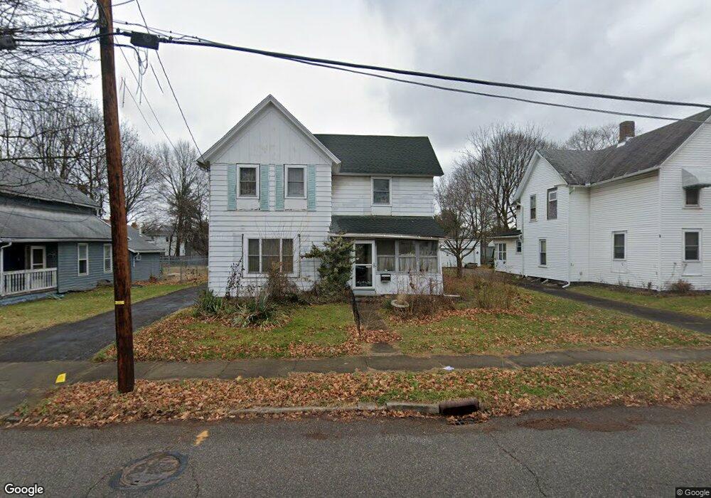
143 Sylvester St Barberton, OH 44203
West Barberton NeighborhoodEstimated Value: $104,000 - $127,000
3
Beds
2
Baths
1,730
Sq Ft
$66/Sq Ft
Est. Value
About This Home
This home is located at 143 Sylvester St, Barberton, OH 44203 and is currently estimated at $114,755, approximately $66 per square foot. 143 Sylvester St is a home located in Summit County with nearby schools including Barberton Middle School, Barberton High School, and St Augustine Elementary School.
Ownership History
Date
Name
Owned For
Owner Type
Purchase Details
Closed on
Nov 25, 2008
Sold by
Estate Of Kenneth B Whipp
Bought by
Whipp Regina T
Current Estimated Value
Purchase Details
Closed on
Jan 30, 1998
Sold by
Wheeler Claude W
Bought by
Whipp Kenneth B
Home Financials for this Owner
Home Financials are based on the most recent Mortgage that was taken out on this home.
Original Mortgage
$52,700
Interest Rate
7.16%
Mortgage Type
New Conventional
Create a Home Valuation Report for This Property
The Home Valuation Report is an in-depth analysis detailing your home's value as well as a comparison with similar homes in the area
Home Values in the Area
Average Home Value in this Area
Purchase History
| Date | Buyer | Sale Price | Title Company |
|---|---|---|---|
| Whipp Regina T | -- | None Available | |
| Whipp Kenneth B | $55,500 | -- |
Source: Public Records
Mortgage History
| Date | Status | Borrower | Loan Amount |
|---|---|---|---|
| Previous Owner | Whipp Kenneth B | $52,700 |
Source: Public Records
Tax History Compared to Growth
Tax History
| Year | Tax Paid | Tax Assessment Tax Assessment Total Assessment is a certain percentage of the fair market value that is determined by local assessors to be the total taxable value of land and additions on the property. | Land | Improvement |
|---|---|---|---|---|
| 2025 | $1,133 | $22,495 | $7,371 | $15,124 |
| 2024 | $1,133 | $22,495 | $7,371 | $15,124 |
| 2023 | $1,133 | $22,670 | $7,371 | $15,299 |
| 2021 | $1,054 | $18,305 | $5,670 | $12,635 |
| 2020 | $1,032 | $18,310 | $5,670 | $12,640 |
| 2019 | $1,059 | $17,030 | $6,580 | $10,450 |
| 2018 | $1,043 | $17,030 | $6,580 | $10,450 |
| 2017 | $1,170 | $17,030 | $6,580 | $10,450 |
| 2016 | $1,173 | $18,860 | $6,580 | $12,280 |
| 2015 | $1,170 | $18,860 | $6,580 | $12,280 |
| 2014 | $1,164 | $18,860 | $6,580 | $12,280 |
| 2013 | $1,131 | $19,000 | $6,580 | $12,420 |
Source: Public Records
Map
Nearby Homes
- 337 Lucas St
- 46 Brown St
- 387 4th St NW
- 583 Creedmore Ave
- 564 W Hopocan Ave
- 437 Erie St
- 526 Wooster Rd N
- 536 Yale Ave
- 485 Lloyd St
- 283 7th St NW Unit 287
- 287 7th St NW
- 332 Lincoln Ave
- 613 Wooster Rd N
- 217 W Summit St
- 200 8th St NW
- 349 E Hopocan Ave
- 0 Wooster Rd N
- 357 E Paige Ave
- 673 Wooster Rd W
- 409 Franklin Ave
- 137 Sylvester St
- 147 Sylvester St
- 135 Sylvester St
- 131 Sylvester St
- 155 Sylvester St
- 144 Norman St
- 142 Norman St
- 138 Norman St
- 125 Sylvester St
- 146 Sylvester St
- 161 Sylvester St
- 132 Norman St
- 154 Norman St
- 138 1/2 Sylvester St
- 154 Sylvester St
- 341 Lucas St
- 132 Sylvester St
- 126 Norman St
- 167 Sylvester St
- 126 Sylvester St