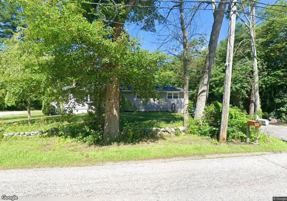
143 Taylor St Pembroke, MA 02359
Estimated Value: $648,000 - $716,000
3
Beds
3
Baths
1,500
Sq Ft
$452/Sq Ft
Est. Value
About This Home
This home is located at 143 Taylor St, Pembroke, MA 02359 and is currently estimated at $677,587, approximately $451 per square foot. 143 Taylor St is a home located in Plymouth County with nearby schools including Pembroke High School.
Ownership History
Date
Name
Owned For
Owner Type
Purchase Details
Closed on
Mar 7, 2005
Sold by
Hill Katherine B
Bought by
Haen Eugene B and Haen Stefanie M
Current Estimated Value
Home Financials for this Owner
Home Financials are based on the most recent Mortgage that was taken out on this home.
Original Mortgage
$284,000
Outstanding Balance
$144,457
Interest Rate
5.66%
Mortgage Type
Purchase Money Mortgage
Estimated Equity
$533,130
Purchase Details
Closed on
Oct 31, 1996
Sold by
Brown Mary E
Bought by
Hill Douglas B and Hill Katherine B
Create a Home Valuation Report for This Property
The Home Valuation Report is an in-depth analysis detailing your home's value as well as a comparison with similar homes in the area
Home Values in the Area
Average Home Value in this Area
Purchase History
| Date | Buyer | Sale Price | Title Company |
|---|---|---|---|
| Haen Eugene B | $355,000 | -- | |
| Hill Douglas B | $156,900 | -- |
Source: Public Records
Mortgage History
| Date | Status | Borrower | Loan Amount |
|---|---|---|---|
| Open | Hill Douglas B | $284,000 | |
| Previous Owner | Hill Douglas B | $45,000 | |
| Previous Owner | Hill Douglas B | $39,000 |
Source: Public Records
Tax History Compared to Growth
Tax History
| Year | Tax Paid | Tax Assessment Tax Assessment Total Assessment is a certain percentage of the fair market value that is determined by local assessors to be the total taxable value of land and additions on the property. | Land | Improvement |
|---|---|---|---|---|
| 2025 | $6,939 | $577,300 | $320,900 | $256,400 |
| 2024 | $6,845 | $569,000 | $315,700 | $253,300 |
| 2023 | $6,820 | $536,200 | $300,900 | $235,300 |
| 2022 | $6,383 | $451,100 | $246,900 | $204,200 |
| 2021 | $5,914 | $405,600 | $231,700 | $173,900 |
| 2020 | $5,810 | $401,000 | $226,900 | $174,100 |
| 2019 | $5,586 | $382,600 | $220,800 | $161,800 |
| 2018 | $5,512 | $370,200 | $220,800 | $149,400 |
| 2017 | $5,439 | $360,200 | $210,800 | $149,400 |
| 2016 | $5,223 | $342,300 | $196,000 | $146,300 |
| 2015 | $4,674 | $317,100 | $186,000 | $131,100 |
Source: Public Records
Map
Nearby Homes
- 547 Washington St Unit A10
- 15 Bagnell Dr Unit 15
- 110 Keene St
- 249 High St
- 40 Fairwood Dr
- 26 Pierce Dr
- 387 North St
- 78 Old Cart Path Ln Unit Lot 3
- 31 Hillcrest Dr
- 72 Old Cart Path Ln Unit Lot 2
- 33 Barker Square Dr Unit 33
- 66 Hemlock Dr
- The Duplex Plan at The Village at Harlow Brook
- The Chatham Plan at The Village at Harlow Brook
- The Falmouth Plan at The Village at Harlow Brook
- 2 Secret Pond Way Unit 35
- 1 Secret Pond Way Unit 36
- 61 North St
- 3 Harlow Brook Way Unit 3
- 2 Harlow Brook Way Unit 2