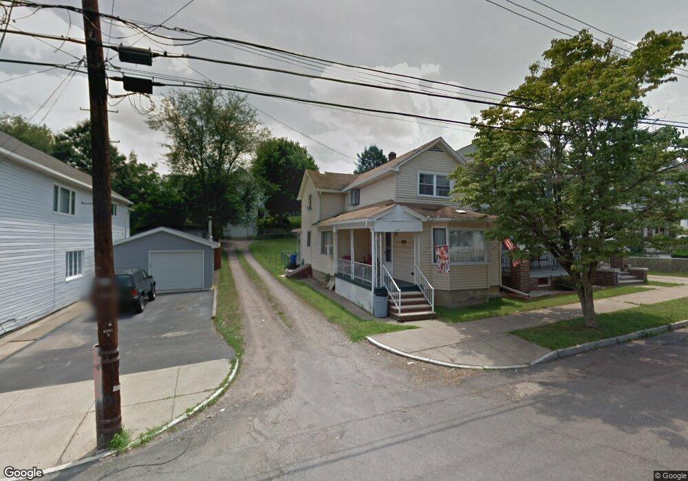
143 W Broad St Nanticoke, PA 18634
Estimated Value: $134,000 - $242,000
4
Beds
2
Baths
1,888
Sq Ft
$97/Sq Ft
Est. Value
About This Home
This home is located at 143 W Broad St, Nanticoke, PA 18634 and is currently estimated at $182,801, approximately $96 per square foot. 143 W Broad St is a home located in Luzerne County with nearby schools including Kennedy Early Childhood Center, Nanticoke Area Elementary Center Center, and Greater Nanticoke Area Senior High School.
Ownership History
Date
Name
Owned For
Owner Type
Purchase Details
Closed on
Apr 13, 2020
Sold by
Zegarski John P
Bought by
Weeks Jason Mark
Current Estimated Value
Home Financials for this Owner
Home Financials are based on the most recent Mortgage that was taken out on this home.
Original Mortgage
$87,682
Outstanding Balance
$77,282
Interest Rate
3.25%
Mortgage Type
FHA
Estimated Equity
$105,519
Purchase Details
Closed on
Aug 7, 2013
Sold by
Zegarski John P and Zegarski Heather Lynn
Bought by
Zegarski John P
Home Financials for this Owner
Home Financials are based on the most recent Mortgage that was taken out on this home.
Original Mortgage
$43,142
Interest Rate
4.5%
Mortgage Type
FHA
Create a Home Valuation Report for This Property
The Home Valuation Report is an in-depth analysis detailing your home's value as well as a comparison with similar homes in the area
Home Values in the Area
Average Home Value in this Area
Purchase History
| Date | Buyer | Sale Price | Title Company |
|---|---|---|---|
| Weeks Jason Mark | $89,300 | None Available | |
| Zegarski John P | -- | Title Source Inc |
Source: Public Records
Mortgage History
| Date | Status | Borrower | Loan Amount |
|---|---|---|---|
| Open | Weeks Jason Mark | $87,682 | |
| Previous Owner | Zegarski John P | $43,142 |
Source: Public Records
Tax History Compared to Growth
Tax History
| Year | Tax Paid | Tax Assessment Tax Assessment Total Assessment is a certain percentage of the fair market value that is determined by local assessors to be the total taxable value of land and additions on the property. | Land | Improvement |
|---|---|---|---|---|
| 2025 | $1,461 | $56,000 | $19,900 | $36,100 |
| 2024 | $1,461 | $56,000 | $19,900 | $36,100 |
| 2023 | $1,441 | $56,000 | $19,900 | $36,100 |
| 2022 | $1,374 | $56,000 | $19,900 | $36,100 |
| 2021 | $1,344 | $56,000 | $19,900 | $36,100 |
| 2020 | $1,344 | $56,000 | $19,900 | $36,100 |
| 2019 | $1,333 | $56,000 | $19,900 | $36,100 |
| 2018 | $1,310 | $56,000 | $19,900 | $36,100 |
| 2017 | $1,287 | $56,000 | $19,900 | $36,100 |
| 2016 | $728 | $80,200 | $19,900 | $60,300 |
| 2015 | $1,018 | $80,200 | $19,900 | $60,300 |
| 2014 | $1,018 | $80,200 | $19,900 | $60,300 |
Source: Public Records
Map
Nearby Homes
- 162 W Green St
- 314 W Main St
- 20 Locust St
- 200 W Union St
- 131 W Union St
- 22 S Walnut St
- 317 E Green St
- 257 E Ridge St
- 333 State St
- 2B Railroad St
- 339 E Broad St
- 246 E Washington St
- 65 W South St
- 0 Enterprise St
- 9 Garfield St
- 416 E Washington St
- 418 E Washington St
- 399 Garfield St
- Lot 55 Vista Dr
- Lot 45 Vista Dr
- 145 W Broad St
- 137 W Broad St
- 140 W Green St
- 139 Rear W Green St
- 129 W Broad St
- 134 W Green St
- 159 W Broad St
- 138 W Green St
- 127 W Broad St
- 127 W Broad St
- 144 W Broad St
- 142 W Broad St
- 152 W Green St
- 146 W Broad St
- 132 W Green St
- 138 W Broad St
- 148 W Broad St
- 146 W Green St
- 142 W Green St
- 163 W Broad St