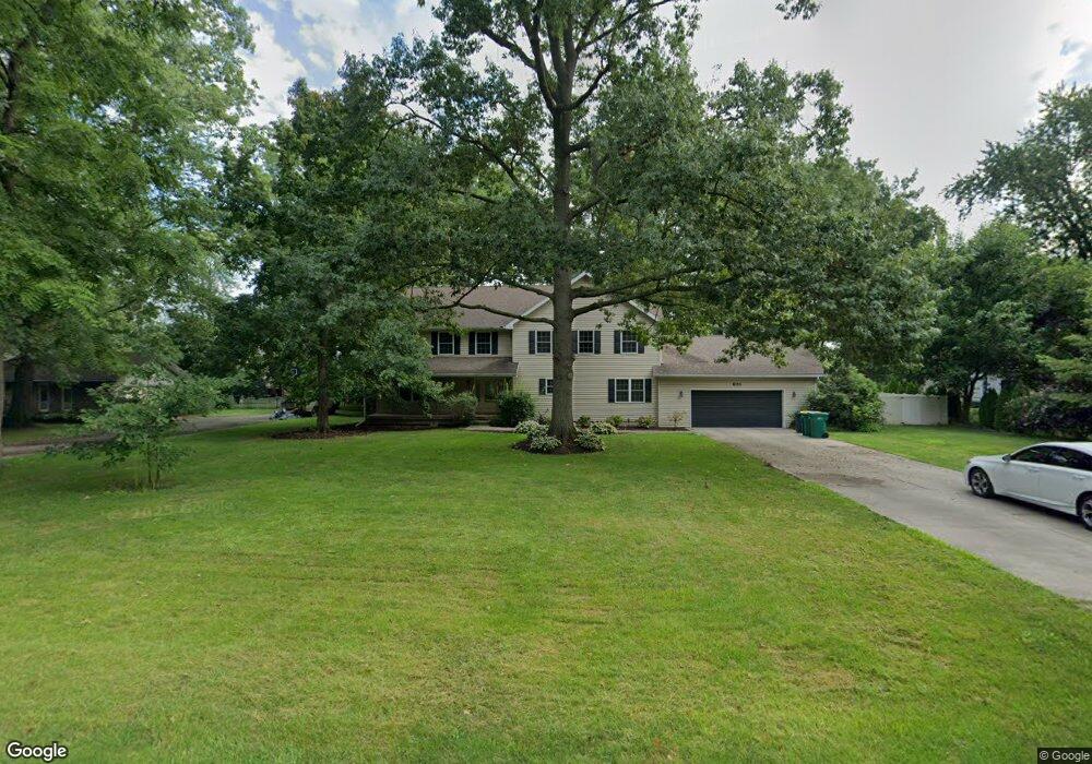
143 Webbshaw Dr Dayton, OH 45458
Estimated Value: $360,519 - $528,000
3
Beds
3
Baths
3,875
Sq Ft
$116/Sq Ft
Est. Value
About This Home
This home is located at 143 Webbshaw Dr, Dayton, OH 45458 and is currently estimated at $447,880, approximately $115 per square foot. 143 Webbshaw Dr is a home located in Montgomery County with nearby schools including Primary Village South, Weller Elementary School, and Magsig Middle School.
Ownership History
Date
Name
Owned For
Owner Type
Purchase Details
Closed on
Jan 14, 1999
Sold by
Hill Gary L and Hill Dale L
Bought by
Flick Matthew S
Current Estimated Value
Home Financials for this Owner
Home Financials are based on the most recent Mortgage that was taken out on this home.
Original Mortgage
$98,400
Outstanding Balance
$22,823
Interest Rate
6.76%
Estimated Equity
$425,057
Create a Home Valuation Report for This Property
The Home Valuation Report is an in-depth analysis detailing your home's value as well as a comparison with similar homes in the area
Home Values in the Area
Average Home Value in this Area
Purchase History
| Date | Buyer | Sale Price | Title Company |
|---|---|---|---|
| Flick Matthew S | $123,000 | Lawyers Title Ins Corp |
Source: Public Records
Mortgage History
| Date | Status | Borrower | Loan Amount |
|---|---|---|---|
| Open | Flick Matthew S | $98,400 |
Source: Public Records
Tax History Compared to Growth
Tax History
| Year | Tax Paid | Tax Assessment Tax Assessment Total Assessment is a certain percentage of the fair market value that is determined by local assessors to be the total taxable value of land and additions on the property. | Land | Improvement |
|---|---|---|---|---|
| 2024 | $6,407 | $93,390 | $14,620 | $78,770 |
| 2023 | $6,407 | $93,390 | $14,620 | $78,770 |
| 2022 | $6,920 | $80,510 | $12,600 | $67,910 |
| 2021 | $6,938 | $80,510 | $12,600 | $67,910 |
| 2020 | $6,929 | $80,510 | $12,600 | $67,910 |
| 2019 | $6,396 | $65,830 | $12,600 | $53,230 |
| 2018 | $5,782 | $65,830 | $12,600 | $53,230 |
| 2017 | $5,727 | $65,830 | $12,600 | $53,230 |
| 2016 | $5,781 | $62,720 | $12,600 | $50,120 |
| 2015 | $5,699 | $62,720 | $12,600 | $50,120 |
| 2014 | $5,699 | $62,720 | $12,600 | $50,120 |
| 2012 | -- | $76,970 | $12,600 | $64,370 |
Source: Public Records
Map
Nearby Homes
- 1124 Petrus Ct
- 1235 Bourdeaux Way
- 1271 Bourdeaux Way
- 1123 Chambrey
- 10001 Cobble Brook Dr
- 536 Hines Cir
- 1628 N Wood Creek Dr
- 10147 Kindle Dr
- 10139 Kindle Dr
- 543 Hines Cir
- 1680 S Branch Rd
- 1651 Summit Creek Dr
- 9387 Rochelle Ln
- 10520 Grand Vista Dr
- 9333 Rochelle Ln
- 262 E Social Row Rd
- 719 Harvest Ln
- 9734 Crooked Creek Dr
- 9243 Chaumont Ave
- 1005 Mckinney Ln
- 127 Webbshaw Dr
- 161 Webbshaw Dr
- 11033 Mistletoe Ct
- 11051 Mistletoe Ct
- 179 Webbshaw Dr
- 126 Webbshaw Dr
- 148 Webbshaw Dr
- 10960 Bromsgrove Ct
- 10964 Bromsgrove Ct
- 112 Webbshaw Dr
- 199 Webbshaw Dr
- 11030 Mistletoe Ct
- 198 Webbshaw Dr
- 11044 Mistletoe Ct
- 11060 Mistletoe Ct
- 96 Webbshaw Dr
- 10979 Ruston Glen Ct
- 9804 Mintwood Rd
- 10956 Bromsgrove Ct
- 96 Webbshaw Dr