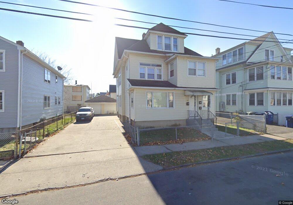
143 Whittier St Unit 147 Bridgeport, CT 06605
Black Rock NeighborhoodEstimated Value: $548,299 - $649,000
6
Beds
3
Baths
2,707
Sq Ft
$219/Sq Ft
Est. Value
About This Home
This home is located at 143 Whittier St Unit 147, Bridgeport, CT 06605 and is currently estimated at $592,825, approximately $218 per square foot. 143 Whittier St Unit 147 is a home located in Fairfield County with nearby schools including Bassick High School, Park City Prep Charter School, and Great Oaks Charter School Bridgeport.
Ownership History
Date
Name
Owned For
Owner Type
Purchase Details
Closed on
May 26, 2006
Sold by
Lengel Robert and Lengel Richard
Bought by
Angrand Ketnel
Current Estimated Value
Home Financials for this Owner
Home Financials are based on the most recent Mortgage that was taken out on this home.
Original Mortgage
$369,900
Interest Rate
6.53%
Create a Home Valuation Report for This Property
The Home Valuation Report is an in-depth analysis detailing your home's value as well as a comparison with similar homes in the area
Home Values in the Area
Average Home Value in this Area
Purchase History
| Date | Buyer | Sale Price | Title Company |
|---|---|---|---|
| Angrand Ketnel | $384,696 | -- | |
| Angrand Ketnel | $384,696 | -- |
Source: Public Records
Mortgage History
| Date | Status | Borrower | Loan Amount |
|---|---|---|---|
| Open | Angrand Ketnel | $264,000 | |
| Closed | Angrand Ketnel | $369,900 |
Source: Public Records
Tax History Compared to Growth
Tax History
| Year | Tax Paid | Tax Assessment Tax Assessment Total Assessment is a certain percentage of the fair market value that is determined by local assessors to be the total taxable value of land and additions on the property. | Land | Improvement |
|---|---|---|---|---|
| 2025 | $9,478 | $218,140 | $77,910 | $140,230 |
| 2024 | $9,478 | $218,140 | $77,910 | $140,230 |
| 2023 | $9,478 | $218,140 | $77,910 | $140,230 |
| 2022 | $9,478 | $218,140 | $77,910 | $140,230 |
| 2021 | $9,478 | $218,140 | $77,910 | $140,230 |
| 2020 | $7,700 | $142,620 | $33,440 | $109,180 |
| 2019 | $7,700 | $142,620 | $33,440 | $109,180 |
| 2018 | $7,754 | $142,620 | $33,440 | $109,180 |
| 2017 | $7,754 | $142,620 | $33,440 | $109,180 |
| 2016 | $7,754 | $142,620 | $33,440 | $109,180 |
| 2015 | $6,701 | $158,790 | $21,420 | $137,370 |
| 2014 | $6,701 | $158,790 | $21,420 | $137,370 |
Source: Public Records
Map
Nearby Homes
- 135 Whittier St
- 82 Waldorf Ave
- 144 Whittier St
- 31 Whittier St
- 25 Whittier St
- 167 Scofield Ave
- 105 Scofield Ave
- 166 Alfred St
- 51 Princeton St
- 95 Bedford Ave
- 118 Berwick Ave
- 2773 Fairfield Ave Unit 3
- 37 Rowsley St Unit 6
- 130 Brentwood Ave
- 222 Ellsworth St
- 855 Brewster St Unit 857
- 26 Rowsley St Unit 3
- 20 Haddon St Unit 5
- 145 Brentwood Ave
- 554 Brewster St Unit 4
- 153 Whittier St
- 165 Whittier St
- 116 Hansen Ave Unit 3rd Flr
- 126 Whittier St
- 115 Whittier St
- 115 Whittier St Unit 3RD F
- 115 Whittier St Unit 1ST F
- 112 Hansen Ave Unit 116
- 94 Hansen Ave
- 122 Hansen Ave Unit 124
- 122 Hansen Ave Unit 3
- 173 Whittier St
- 136 Whittier St
- 150 Whittier St
- 72 Hansen Ave Unit 74
- 164 Whittier St
- 123 Whittier St
- 92 Hansen Ave Unit 94
- 105 Whittier St
- 130 Hansen Ave Unit 134