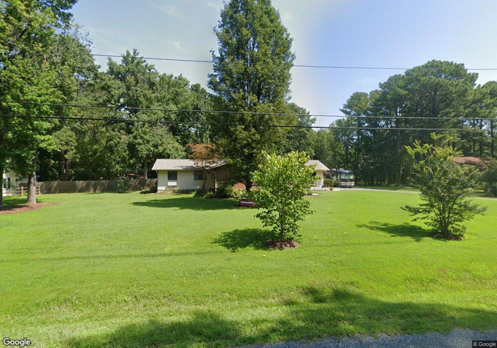
143 Worcester Rd Stevensville, MD 21666
Romancoke NeighborhoodEstimated Value: $468,301 - $585,000
Studio
3
Baths
2,400
Sq Ft
$214/Sq Ft
Est. Value
About This Home
This home is located at 143 Worcester Rd, Stevensville, MD 21666 and is currently estimated at $513,325, approximately $213 per square foot. 143 Worcester Rd is a home located in Queen Anne's County with nearby schools including Matapeake Elementary School, Matapeake Middle School, and Kent Island High School.
Ownership History
Date
Name
Owned For
Owner Type
Purchase Details
Closed on
Jun 25, 1993
Sold by
Lyons F N
Bought by
Barron Lloyd E
Current Estimated Value
Home Financials for this Owner
Home Financials are based on the most recent Mortgage that was taken out on this home.
Original Mortgage
$140,000
Interest Rate
7.37%
Purchase Details
Closed on
Aug 22, 1984
Sold by
Jones Winfields S and Jones Sandra
Bought by
Lyons Francis N and Lyons Denise M
Home Financials for this Owner
Home Financials are based on the most recent Mortgage that was taken out on this home.
Original Mortgage
$60,000
Interest Rate
14.39%
Create a Home Valuation Report for This Property
The Home Valuation Report is an in-depth analysis detailing your home's value as well as a comparison with similar homes in the area
Home Values in the Area
Average Home Value in this Area
Purchase History
| Date | Buyer | Sale Price | Title Company |
|---|---|---|---|
| Barron Lloyd E | $160,000 | -- | |
| Lyons Francis N | $78,900 | -- |
Source: Public Records
Mortgage History
| Date | Status | Borrower | Loan Amount |
|---|---|---|---|
| Closed | Barron Lloyd E | $140,000 | |
| Previous Owner | Lyons Francis N | $60,000 |
Source: Public Records
Tax History
| Year | Tax Paid | Tax Assessment Tax Assessment Total Assessment is a certain percentage of the fair market value that is determined by local assessors to be the total taxable value of land and additions on the property. | Land | Improvement |
|---|---|---|---|---|
| 2025 | $3,854 | $409,100 | $0 | $0 |
| 2024 | $3,556 | $377,500 | $0 | $0 |
| 2023 | $3,258 | $345,900 | $152,500 | $193,400 |
| 2022 | $3,187 | $338,333 | $0 | $0 |
| 2021 | $3,160 | $330,767 | $0 | $0 |
| 2020 | $3,160 | $323,200 | $132,500 | $190,700 |
| 2019 | $3,059 | $312,667 | $0 | $0 |
| 2018 | $2,958 | $302,133 | $0 | $0 |
| 2017 | $2,857 | $291,600 | $0 | $0 |
| 2016 | -- | $276,800 | $0 | $0 |
| 2015 | $1,339 | $262,000 | $0 | $0 |
| 2014 | $1,339 | $247,200 | $0 | $0 |
Source: Public Records
Map
Nearby Homes
- 101 Oak St
- 116 Mallard Dr
- 104 Cecil Rd
- 610 Elm St
- Lot 49-50 Bay Dr
- 326 S Carolina Rd
- 346 Oregon Rd
- Lot 1 - E/Kent Point Romancoke
- 211 Queen Anne Rd
- 9401 Romancoke Rd
- 414 Bay Dr
- 122 Queen Anne Rd
- 114 N Lake Dr
- 117 Howard Rd
- 122 N Lake Dr
- 132 Pennick Dr
- 313 Columbia Ln
- 145 N Lake Dr
- 312 Columbia Ln
- 410 5 Farms Dr
- 135 Worcester Rd
- 137 Worcester Rd
- 213 Caroline Rd
- 133 Worcester Rd
- 138 Worcester Rd
- 115 Caroline Rd
- 100 Caroline Rd
- 134 Worcester Rd
- 201 Caroline Rd
- 129 Worcester Rd
- 0 Oregon Rd Unit 1006940374
- 0 Oregon Rd Unit 1006350604
- 0 Oregon Rd Unit QA9891354
- 0 Oregon Rd Unit MDQA145390
- 0 Oregon Rd Unit MDQA145308
- 0 Oregon Rd Unit MDQA145298
- 0 Oregon Rd Unit MDQA140660
- 0 Oregon Rd Unit MDQA100066
- 0 Oregon Rd Unit 1000038319
- 0 Oregon Rd Unit 1004362178
Your Personal Tour Guide
Ask me questions while you tour the home.