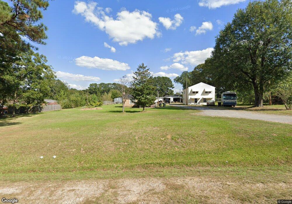
1430 Highway 133 N Crossett, AR 71635
Estimated Value: $129,000 - $250,000
--
Bed
2
Baths
1,832
Sq Ft
$93/Sq Ft
Est. Value
About This Home
This home is located at 1430 Highway 133 N, Crossett, AR 71635 and is currently estimated at $170,024, approximately $92 per square foot. 1430 Highway 133 N is a home located in Ashley County with nearby schools including Crossett Elementary School, Crossett Middle School, and Crossett High School.
Ownership History
Date
Name
Owned For
Owner Type
Purchase Details
Closed on
Jul 15, 2022
Sold by
Lofton Saxton Karen Lynnette
Bought by
Lofton Lawrence Clay
Current Estimated Value
Purchase Details
Closed on
Apr 16, 1976
Bought by
Lofton Lawrence C and Lofton Mary
Purchase Details
Closed on
Aug 6, 1974
Bought by
Hughes Leslie W and Hughes Dorothy N
Create a Home Valuation Report for This Property
The Home Valuation Report is an in-depth analysis detailing your home's value as well as a comparison with similar homes in the area
Home Values in the Area
Average Home Value in this Area
Purchase History
| Date | Buyer | Sale Price | Title Company |
|---|---|---|---|
| Lofton Lawrence Clay | -- | Mills David Tyler | |
| Lofton Lawrence Clay | -- | None Listed On Document | |
| Saxton Karen Lynne Lofton | -- | Mills David Tyler | |
| Saxton Karen Lynne Lofton | -- | None Listed On Document | |
| Lofton Lawrence C | -- | -- | |
| Hughes Leslie W | -- | -- |
Source: Public Records
Tax History Compared to Growth
Tax History
| Year | Tax Paid | Tax Assessment Tax Assessment Total Assessment is a certain percentage of the fair market value that is determined by local assessors to be the total taxable value of land and additions on the property. | Land | Improvement |
|---|---|---|---|---|
| 2025 | $521 | $23,710 | $1,490 | $22,220 |
| 2024 | $621 | $23,710 | $1,490 | $22,220 |
| 2023 | $696 | $23,710 | $1,490 | $22,220 |
| 2022 | $668 | $14,140 | $1,120 | $13,020 |
| 2021 | $280 | $14,140 | $1,120 | $13,020 |
| 2020 | $280 | $14,140 | $1,120 | $13,020 |
| 2019 | $275 | $14,140 | $1,120 | $13,020 |
| 2018 | $300 | $14,140 | $1,120 | $13,020 |
| 2017 | $281 | $14,120 | $930 | $13,190 |
| 2016 | $205 | $13,054 | $930 | $12,124 |
| 2015 | $205 | $12,833 | $930 | $11,903 |
| 2014 | $196 | $12,612 | $930 | $11,682 |
Source: Public Records
Map
Nearby Homes
- 1424 Highway 133 N
- 1438 Highway 133 N
- 439 Binns Loop
- 113 Campbell Dr
- 435 Binns Loop
- 431 Binns Loop
- 1418 Highway 133 N
- 1425 Highway 133 N
- 427 Binns Loop
- 1446 Highway 133 N
- 115 Campbell Dr
- 115 Campbell Dr
- 423 Binns Loop
- 428 Binns Loop
- 121 Campbell Dr
- 426 Binns Loop
- 1406 Highway 133 N
- 101 Cope St
- 129 Campbell Dr
- 1402 Highway 133 N