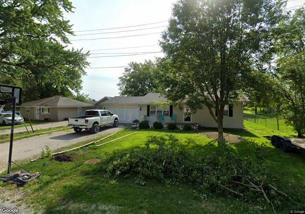
1430 N Birks St Decatur, IL 62526
Estimated Value: $77,000 - $117,000
3
Beds
1
Bath
936
Sq Ft
$111/Sq Ft
Est. Value
About This Home
This home is located at 1430 N Birks St, Decatur, IL 62526 and is currently estimated at $103,573, approximately $110 per square foot. 1430 N Birks St is a home located in Macon County.
Ownership History
Date
Name
Owned For
Owner Type
Purchase Details
Closed on
Dec 30, 2024
Sold by
Berry Amanda J and Mathias Amanda J
Bought by
Berry Kenneth B and Berry Amanda J
Current Estimated Value
Purchase Details
Closed on
Apr 19, 2019
Sold by
Hembrough Terry L and Hembrough Julie L
Bought by
Mathias Amanda J
Home Financials for this Owner
Home Financials are based on the most recent Mortgage that was taken out on this home.
Original Mortgage
$77,272
Interest Rate
4.13%
Mortgage Type
New Conventional
Purchase Details
Closed on
Jul 9, 2007
Sold by
Page Danny R
Bought by
Hembrough Terry L and Hembrough Julie L
Home Financials for this Owner
Home Financials are based on the most recent Mortgage that was taken out on this home.
Original Mortgage
$81,150
Interest Rate
6.54%
Mortgage Type
New Conventional
Purchase Details
Closed on
Nov 1, 2003
Create a Home Valuation Report for This Property
The Home Valuation Report is an in-depth analysis detailing your home's value as well as a comparison with similar homes in the area
Home Values in the Area
Average Home Value in this Area
Purchase History
| Date | Buyer | Sale Price | Title Company |
|---|---|---|---|
| Berry Kenneth B | -- | None Listed On Document | |
| Mathias Amanda J | $78,500 | None Available | |
| Hembrough Terry L | $82,000 | None Available | |
| -- | $64,500 | -- |
Source: Public Records
Mortgage History
| Date | Status | Borrower | Loan Amount |
|---|---|---|---|
| Previous Owner | Mathias Amanda J | $77,272 | |
| Previous Owner | Hembrough Terry L | $81,150 |
Source: Public Records
Tax History Compared to Growth
Tax History
| Year | Tax Paid | Tax Assessment Tax Assessment Total Assessment is a certain percentage of the fair market value that is determined by local assessors to be the total taxable value of land and additions on the property. | Land | Improvement |
|---|---|---|---|---|
| 2024 | $1,767 | $28,122 | $3,541 | $24,581 |
| 2023 | $1,694 | $28,088 | $3,424 | $24,664 |
| 2022 | $1,567 | $25,974 | $3,166 | $22,808 |
| 2021 | $1,501 | $24,673 | $3,008 | $21,665 |
| 2020 | $1,399 | $23,251 | $2,835 | $20,416 |
| 2019 | $1,399 | $23,251 | $2,835 | $20,416 |
| 2018 | $1,350 | $22,700 | $2,768 | $19,932 |
| 2017 | $1,377 | $22,796 | $2,780 | $20,016 |
| 2016 | $1,390 | $22,769 | $2,777 | $19,992 |
| 2015 | $1,316 | $22,106 | $2,696 | $19,410 |
| 2014 | $1,263 | $21,887 | $2,669 | $19,218 |
| 2013 | $1,364 | $21,887 | $2,669 | $19,218 |
Source: Public Records
Map
Nearby Homes
- 0 W Harristown Blvd Unit 6251050
- 275 N Camp St
- 7450 W William St
- 0 W Wood St
- 5180 W Cantrell St
- 445 S Wyckles Rd
- 3889 W Division St
- 1720 N Sunnyside Rd
- 1650 N Sunnyside Rd
- 3525 W Center St
- 468 N Megan Dr
- 3467 Sullivan Dr
- 3247 Nevada Rd
- 480 N Hillcrest Blvd
- 635 N Virginia Ave
- 3335 Nevada Rd
- 1135 N Moffet Ln
- 170 S Hillcrest Blvd
- 0 Bill Wall Dr
- 144 E Lewis St
- 1430 N Birks St
- 1460 N Birks St
- 1410 N Birks St
- 7855 W Third St
- 7904 W Second St
- 7930 2nd St
- 1360 N Birks St
- 7955 W Third St
- 1365 N Birks St
- 7870 W Third St
- 7935 W Second St
- 7975 W Third St
- 1505 N Birks St
- 7990 W Second St
- 1325 N Birks St
- 7995 W Third St
- 1390 N Snyder St
- 7990 W Third St
- 1565 N Birks St
- 8010 W Second St